
Southeast region · AL
Alabama home risk profile
Overall home hazard risk: Moderate
How to use this profile
- Scan the hazard list. Anything rated Major or Extreme is the next page to open.
- Read the insurance note — flood and earthquake are usually separate policies.
- Look up your ZIP, then confirm the address on the official maps linked from each hazard page.
You land in Birmingham on Thursday and close on Friday. The seller's disclosure says nothing useful about wind or water. Alabama will fill in the blanks fast. Tornadoes are the headliner here — our rating is 5 out of 5 — and flooding sits just behind at 4 out of 5. You don't get to choose which one visits your street. You get to choose how ready you are.
Start with the Alabama Emergency Management Agency, which coordinates the county EMA offices that send the alerts your phone will scream at 3 a.m. Then pull the FEMA flood map for the exact street address. That one takes ten minutes. Not the ZIP code. The address. A low-risk zone on the Gulf Coast can still flood in a tropical storm, and inland Alabama gets flash floods from slow thunderstorms that drop inches in an hour.
Tornadoes and floods are the main event, but they aren't the whole story. Extreme heat, severe storms, and hurricanes each rate 4 out of 5. Mobile and Baldwin counties watch the Gulf from June through November. Birmingham and Huntsville get ice storms and occasional drought. The ground barely shakes, and wildfires are rare compared to the West — that's a real break. Don't let it make you skip the basics.
If you've got one afternoon and a hundred bucks before closing, spend it on two things: a flood-zone lookup through FEMA and a tornado plan that names the innermost room on your lowest floor. Everything else can wait. Your lender will ask about insurance. Your neighbors will ask about the last big storm. Both answers start with the same question: what does the map say about this address?
Risk levels in Alabama
Statewide scores, highest first. A neighborhood can look different from the state average — use these to decide which official map to open.
What the ratings mean
"MinimalMinorModerateMajorExtreme
Each rating is a statewide starting point, framed for a typical 30-year stay — the length of a standard mortgage. A neighborhood can look different from the state average. Always verify your address with official FEMA, NOAA or USGS maps.
Questions about Alabama
- What is the overall home-hazard rating in Alabama?
- Alabama scores Moderate overall on our statewide scale. That average can hide one severe local peril — open the highest-rated hazard pages and then verify your address.
- Does a standard homeowners policy cover the main risks in Alabama?
- Wind damage is usually covered; flood from the same storm often is not. Photograph the roof now, before hail or a tornado makes the “before” pictures impossible.
- How should I use this Alabama page?
- Treat it as a briefing, not a determination. Check the hazard list, open the pages rated Major or Extreme, then confirm the parcel on FEMA, NOAA or USGS maps and with Alabama Emergency Management Agency.
Last updated: October 10, 2026. Risk levels are state-wide estimates based on public hazard data (FEMA, NOAA, USGS) — always verify your specific address with official sources.
Guides to read with this profile
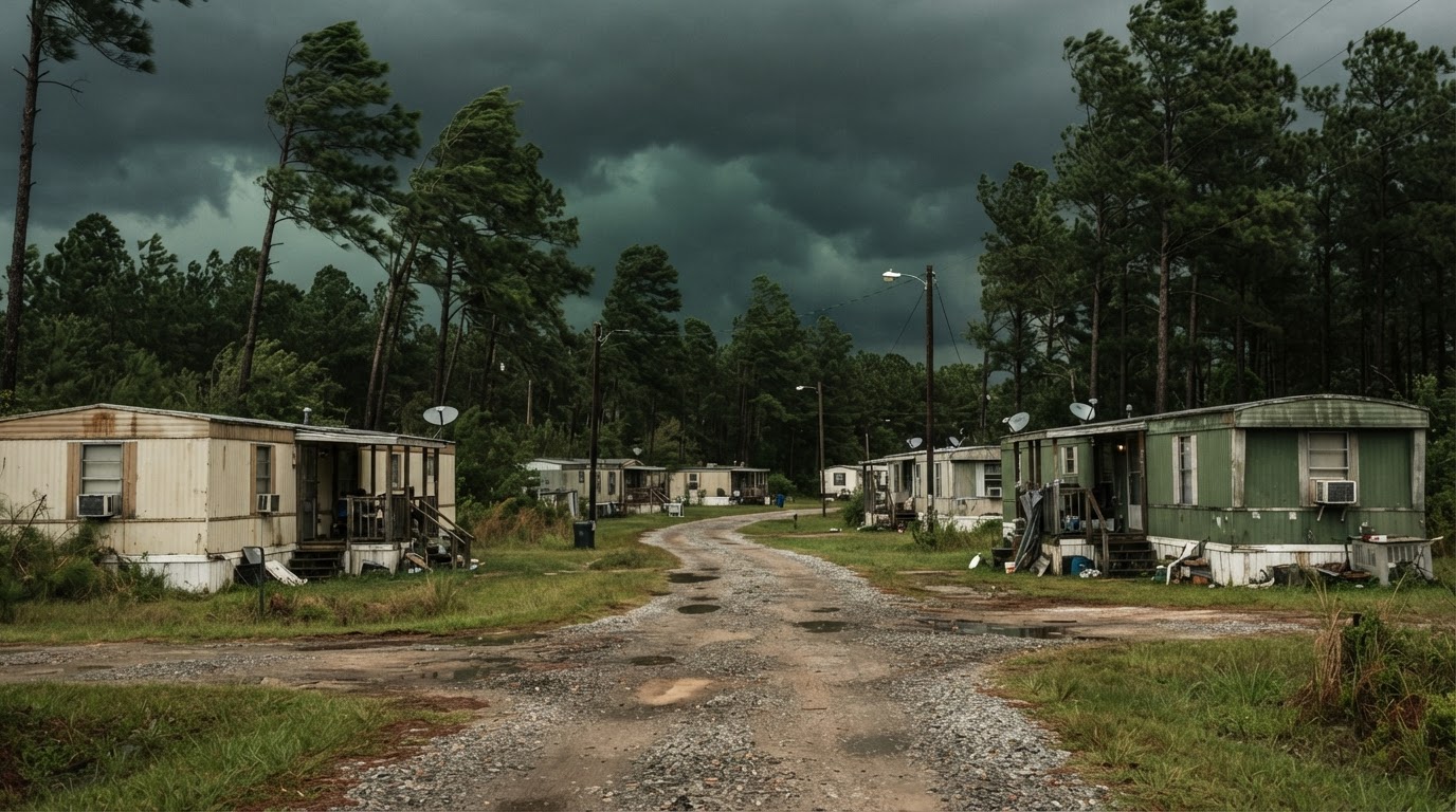 Mobile Home Tornado Safety: What Actually WorksMobile homes are particularly vulnerable to tornadoes. Learn the proven strategies that save lives, based on official guidance…Jun 21, 2026Read guide →
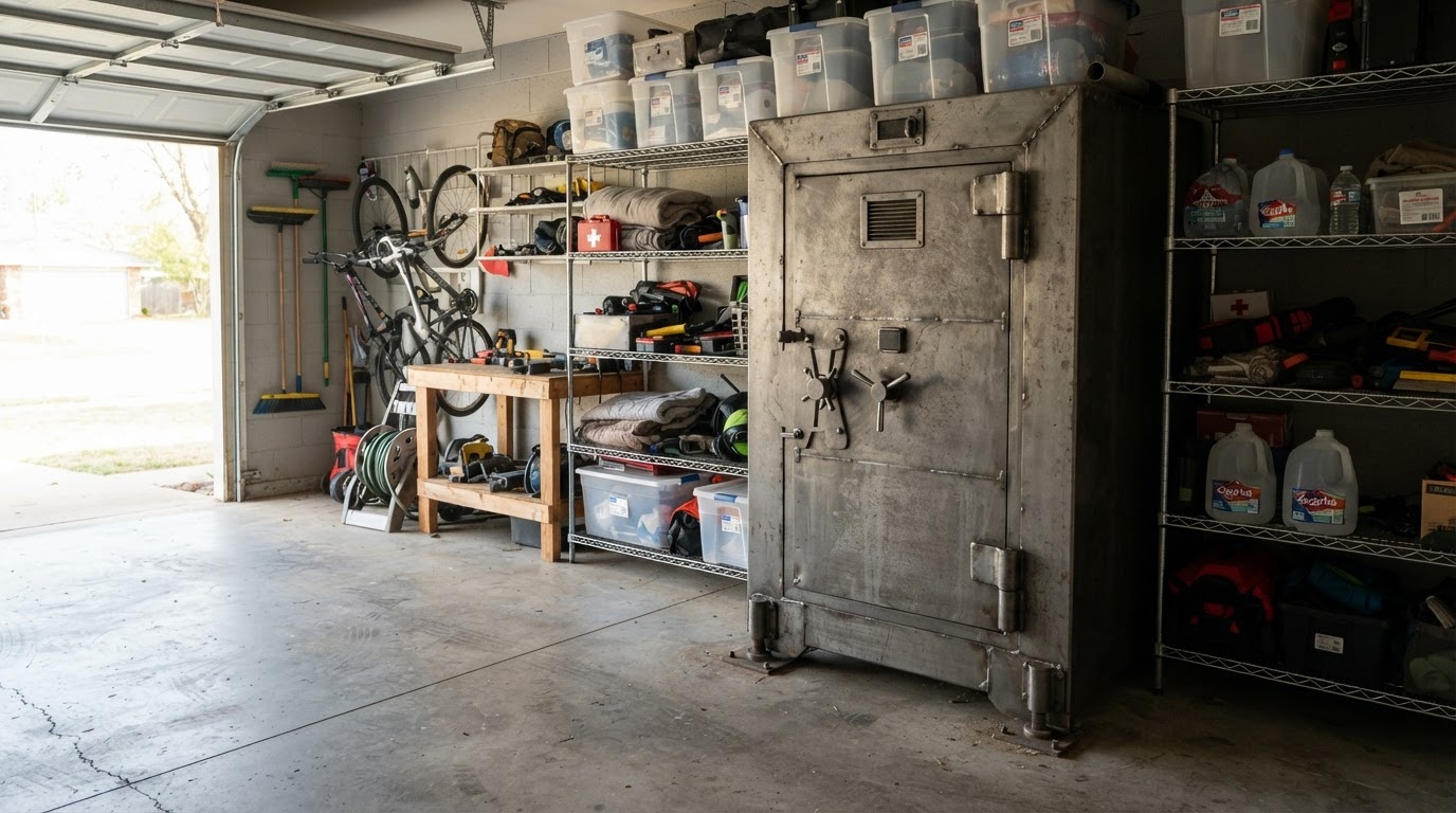 Tornado Safe Room vs Storm Shelter: Costs & Options for HomeownersLearn the key differences between tornado safe rooms and storm shelters, including costs, installation options, and FEMA…Jun 21, 2026Read guide →
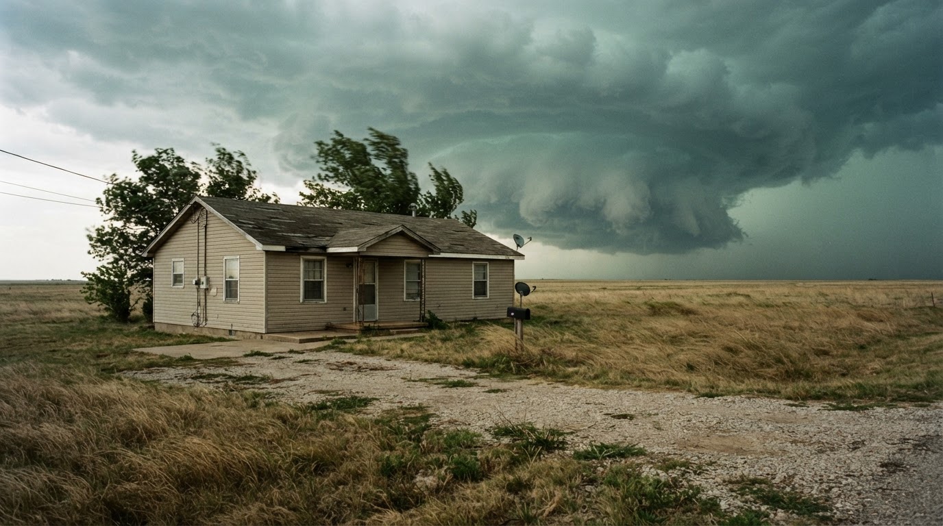 Safest Place in Your House During a Tornado by Home TypeWhere you take shelter during a tornado depends on your home type. Learn the safest locations for single-family homes,…Jun 21, 2026Read guide →