
Independent home-risk map
What threatens this house?
Flood, fire, quake and wind — statewide ratings, insurance caveats, and the official maps to verify your address. Start with a ZIP, then open the state or guide you need.
Explore risk by state
State-level estimates, not parcel data. Pick a hazard layer, then tap any state.
Tap a state for its risk profile
Featured guides
Insurance exclusions, flood-zone checks, and how to read a hazard page.
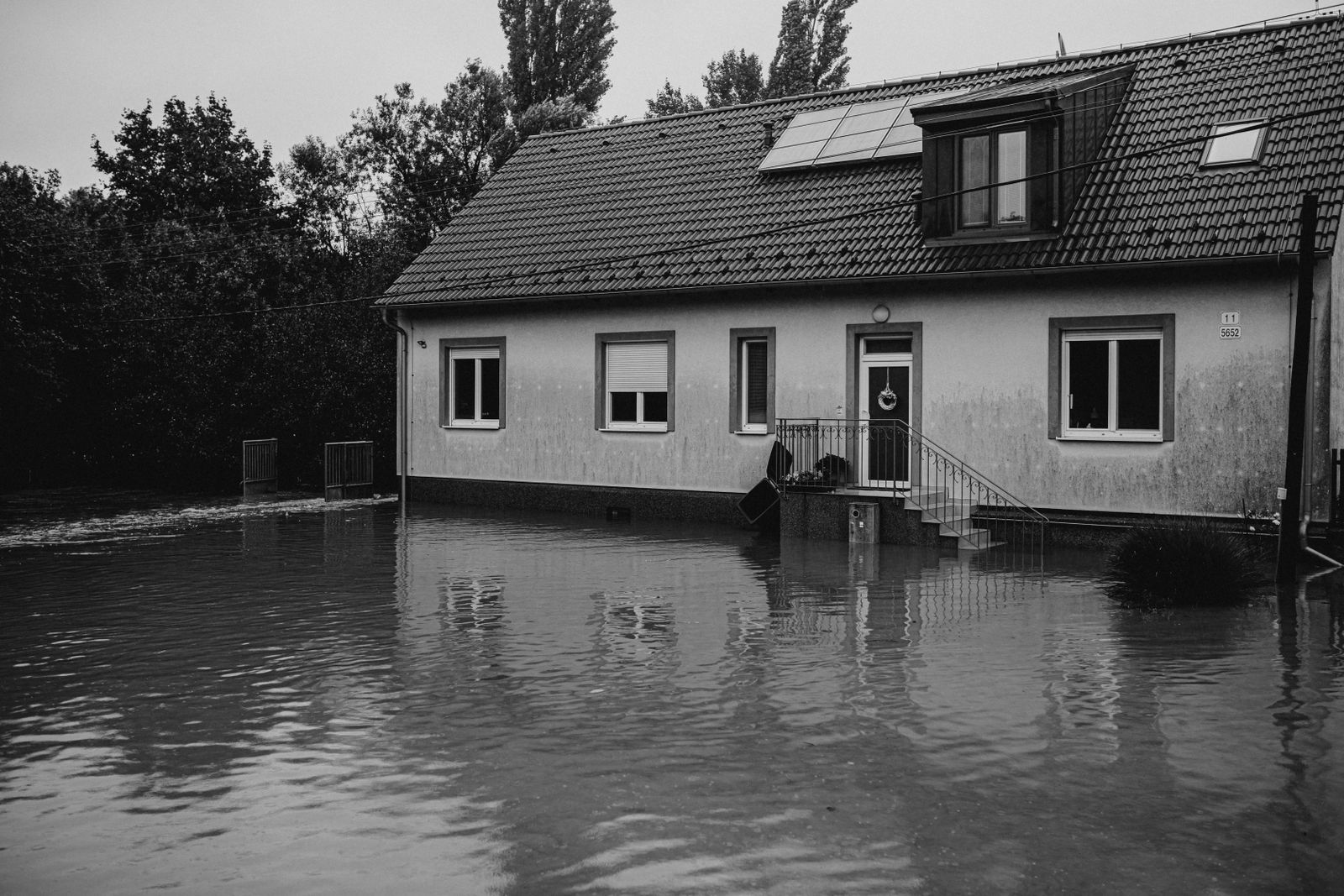 InsuranceWhat Happens to Your NFIP Policy If Congress Lets the Program LapseCongress extended the NFIP through December 11, 2026. If the program lapses, existing policies stay in force and claims get paid…Oct 15, 2026Read guide →
 InsuranceExcess Flood Insurance: Coverage Above NFIP's $250,000 LimitThe NFIP caps flood coverage at $250,000 for the building and $100,000 for contents. If your home would cost more to rebuild,…Oct 15, 2026Read guide →
 InsuranceHome Insurance Costs by State: Why Quotes Vary So MuchHome insurance costs by state can swing two or three times for the same house. Here's what actually drives your quote, and what…Oct 9, 2026Read guide →
 PreparednessSafest States from Natural Disasters? Check the Address FirstThere's no state where you can skip the flood map. But some states do have fewer overlapping hazards, and FEMA's county-level…Oct 9, 2026Read guide →
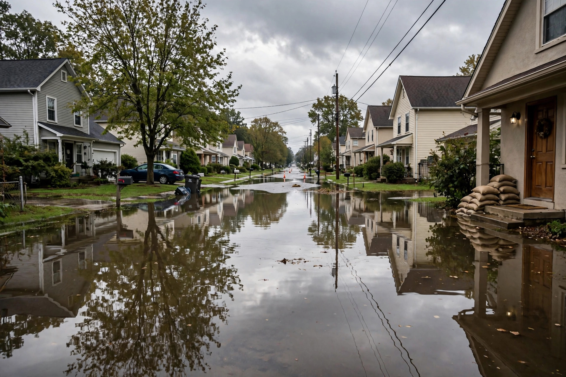 FloodingIs My House in a Flood Zone? How to Check Before You CloseYour lender's flood cert says Zone AE, and you have 48 hours to decide. Here's how to read FEMA's map and ask better questions…Oct 9, 2026Read guide →
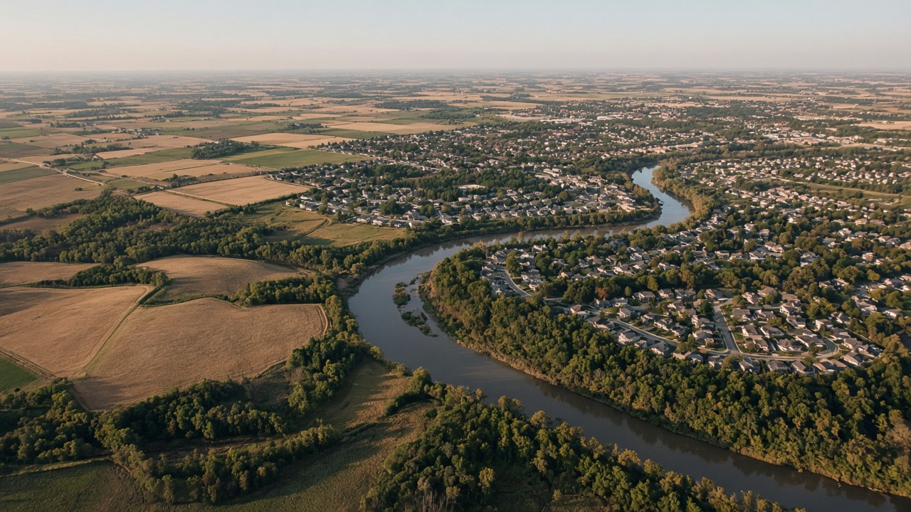 PreparednessWhat the U.S. Disaster Risk Map Actually Tells YouThe National Risk Index is a useful first look, not a verdict on your house. Here’s how to read it without panicking—and what…Oct 9, 2026Read guide →
 Browse by hazard
The same layers as the map. Open one to rank the states and read the insurance note.
- Flooding
- Hurricanes
- Tornadoes
- Wildfires
- Earthquakes
- Winter Storms
- Extreme Heat
- Drought
- Landslides
- Severe Storms
Rated 5 of 5 Tornadoes in Alabama Earthquakes in Alaska Winter Storms in Alaska Wildfires in Arizona
Start here
-
Look up the place
ZIP, state, or the map. Ratings are statewide starting points, not a flood-zone letter.
-
Read the insurance catch
Flood and earthquake are usually excluded from a standard HO-3. Wind and flood are often two policies.
-
Verify on official maps
Every profile links FEMA, NOAA, USGS or the state agency. Check those before you buy or insure.
Common questions
- What do the 1–5 ratings mean?
- Each score is a statewide starting point: 1 is very low exposure to that hazard, 5 is very high. Two houses in the same ZIP can still differ. Use the rating to decide what official map to open next — not as a quote or a flood-zone letter.
- Is this an insurance quote or a FEMA determination?
- No. HomeRiskMap is an independent briefing. Flood and earthquake are usually excluded from a standard homeowners policy. We do not sell insurance and we are not affiliated with FEMA, NOAA, USGS or any carrier.
- Why start with a ZIP code?
- A ZIP gets you to a city page when we have one, or to the state profile if we do not. From there you can open the hazards that actually matter and verify the address on FEMA, NOAA or USGS maps.
- Where does the data come from?
- State-level summaries are drawn from public hazard data and official preparedness guidance (FEMA, NOAA, USGS, Ready.gov and each state’s emergency agency). Every profile links out so you can check the original.
Statewide summaries draw on FEMA, NOAA, USGS, Ready.gov and each state’s emergency agency. How we source this.