
Southwest region · NM
New Mexico home risk profile
Overall home hazard risk: Moderate
How to use this profile
- Scan the hazard list. Anything rated Major or Extreme is the next page to open.
- Read the insurance note — flood and earthquake are usually separate policies.
- Look up your ZIP, then confirm the address on the official maps linked from each hazard page.
You're flying into Albuquerque on a Thursday to look at a house in the East Mountains, and the listing says "high desert, low risk." Before you sign anything, know that New Mexico's two biggest home hazards are drought and wildfire — both rated 5 out of 5 in our profile. The state is dry, and that dryness reshapes everything.
Drought is the baseline here. It's not a season; it's a condition that lasts years. When soils and vegetation dry out, wildfire follows. The New Mexico Department of Homeland Security and Emergency Management tracks both, and FEMA's National Risk Index shows many counties at relatively high wildfire risk. If you're buying in the wildland-urban interface — Santa Fe, Los Alamos, Ruidoso, the East Mountains — your insurance and your safety depend on how close trees and brush come to the house.
Flooding is the hazard people underestimate. It's rated 3 out of 5, but in New Mexico, floods often arrive after fires. Burn scars shed water instead of absorbing it, so a monsoon storm can send a wall of mud and water down an arroyo that was dry yesterday. Extreme heat (4/5) is another summer reality, especially in the south and low elevations. Earthquakes, landslides, winter storms, tornadoes, and hurricanes are lower risks, but they aren't zero.
If you have limited time and money, do two things first: pull the FEMA flood map for the address (even if you're on a hill) and ask the seller for any wildfire mitigation or defensible space work. Then call an insurance agent who writes policies in New Mexico — not one from out of state. That's your starting point. Your county's hazard mitigation plan is also a good read.
Risk levels in New Mexico
Statewide scores, highest first. A neighborhood can look different from the state average — use these to decide which official map to open.
What the ratings mean
"MinimalMinorModerateMajorExtreme
Each rating is a statewide starting point, framed for a typical 30-year stay — the length of a standard mortgage. A neighborhood can look different from the state average. Always verify your address with official FEMA, NOAA or USGS maps.
Questions about New Mexico
- What is the overall home-hazard rating in New Mexico?
- New Mexico scores Moderate overall on our statewide scale. That average can hide one severe local peril — open the highest-rated hazard pages and then verify your address.
- Does a standard homeowners policy cover the main risks in New Mexico?
- Fire is usually covered, but in high-risk ZIP codes the hard part is keeping a policy at all. Mitigation (defensible space, roof, vents) can matter as much as the premium.
- How should I use this New Mexico page?
- Treat it as a briefing, not a determination. Check the hazard list, open the pages rated Major or Extreme, then confirm the parcel on FEMA, NOAA or USGS maps and with New Mexico Department of Homeland Security and Emergency Management.
Last updated: October 8, 2026. Risk levels are state-wide estimates based on public hazard data (FEMA, NOAA, USGS) — always verify your specific address with official sources.
Guides to read with this profile
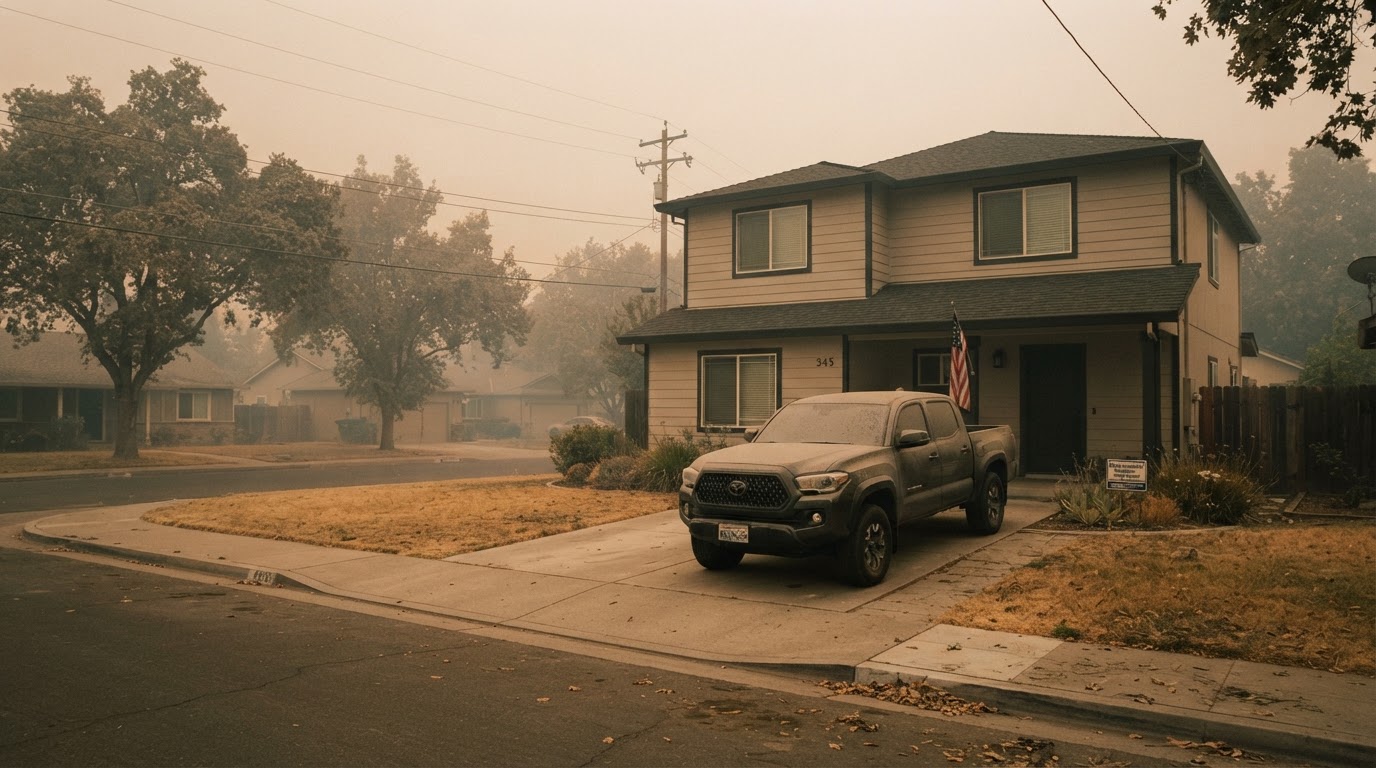 Wildfire Smoke & Air Quality: How to Protect Your HomeLearn how to protect your home and family from wildfire smoke with practical steps from FEMA, CDC, and EPA. From sealing your…Jun 21, 2026Read guide →
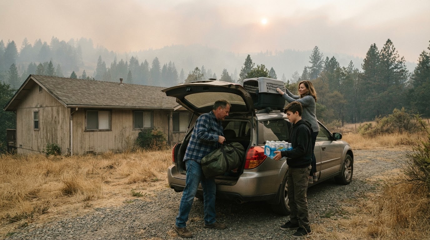 Wildfire Evacuation Prep in 60 Minutes: A Step-by-Step GuideWhen a wildfire threatens, you may have less than an hour to evacuate. Learn how to prepare a go-bag, safeguard your home, and…Jun 21, 2026Read guide →
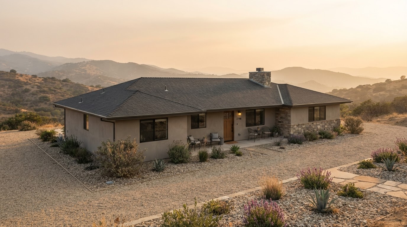 Wildfire Home Hardening: Roof, Vents, Gutters, and Deck ChecklistLearn how to harden your home against wildfire by focusing on four critical areas: roof, vents, gutters, and deck. This checklist…Jun 21, 2026Read guide →