
West region · OR
Oregon home risk profile
Overall home hazard risk: Moderate
How to use this profile
- Scan the hazard list. Anything rated Major or Extreme is the next page to open.
- Read the insurance note — flood and earthquake are usually separate policies.
- Look up your ZIP, then confirm the address on the official maps linked from each hazard page.
Picture the house you're touring on Saturday: cedar shake roof, gutters packed with Douglas fir needles, a brushy ravine along the back lot line. In Oregon, that ravine matters more than the kitchen. The state's two highest home-hazard ratings are wildfire (5 out of 5) and flooding (4 out of 5) — and both are things you can partly measure before you make an offer.
Wildfire is the big one. It isn't just southern Oregon or the Cascades foothills anymore; grass and brush fires have pushed into the edges of the Willamette Valley and into towns that used to consider themselves too wet to burn. What matters at a specific address is fuel, slope, wind, and how the neighborhood is built — one unmanaged vacant lot upwind can undo a lot of careful work on your own parcel. Flooding behaves differently. Western Oregon's atmospheric rivers and rain-on-snow events can put water in places an older flood map doesn't show, and coastal and riverfront counties carry the heaviest NFIP claim histories. Pull the current FEMA flood map and your lender's requirement before you fall in love with the place.
Two more ratings worth knowing: landslides (4/5) and earthquakes (4/5). Coast Range and Cascade slopes slide in wet winters, and the Cascadia Subduction Zone is a planning assumption across the state, not a fringe theory. Drought, winter storms, and severe storms sit at moderate levels; tornadoes and hurricanes are essentially non-issues in Oregon.
If I had one afternoon and a small budget, I'd spend it on wildfire defensible space rather than a cosmetic fix. Pull the address into FEMA's National Risk Index, check the flood map, then call the Oregon Department of Emergency Management or your county emergency manager and ask what actually happened on that street over the last decade. Ask the seller for insurance loss history and for any brush-clearing or seismic retrofit receipts. A roof is replaceable. A location isn't.
Risk levels in Oregon
Statewide scores, highest first. A neighborhood can look different from the state average — use these to decide which official map to open.
What the ratings mean
"MinimalMinorModerateMajorExtreme
Each rating is a statewide starting point, framed for a typical 30-year stay — the length of a standard mortgage. A neighborhood can look different from the state average. Always verify your address with official FEMA, NOAA or USGS maps.
Questions about Oregon
- What is the overall home-hazard rating in Oregon?
- Oregon scores Moderate overall on our statewide scale. That average can hide one severe local peril — open the highest-rated hazard pages and then verify your address.
- Does a standard homeowners policy cover the main risks in Oregon?
- Fire is usually covered, but in high-risk ZIP codes the hard part is keeping a policy at all. Mitigation (defensible space, roof, vents) can matter as much as the premium.
- How should I use this Oregon page?
- Treat it as a briefing, not a determination. Check the hazard list, open the pages rated Major or Extreme, then confirm the parcel on FEMA, NOAA or USGS maps and with Oregon Department of Emergency Management.
Last updated: October 8, 2026. Risk levels are state-wide estimates based on public hazard data (FEMA, NOAA, USGS) — always verify your specific address with official sources.
Guides to read with this profile
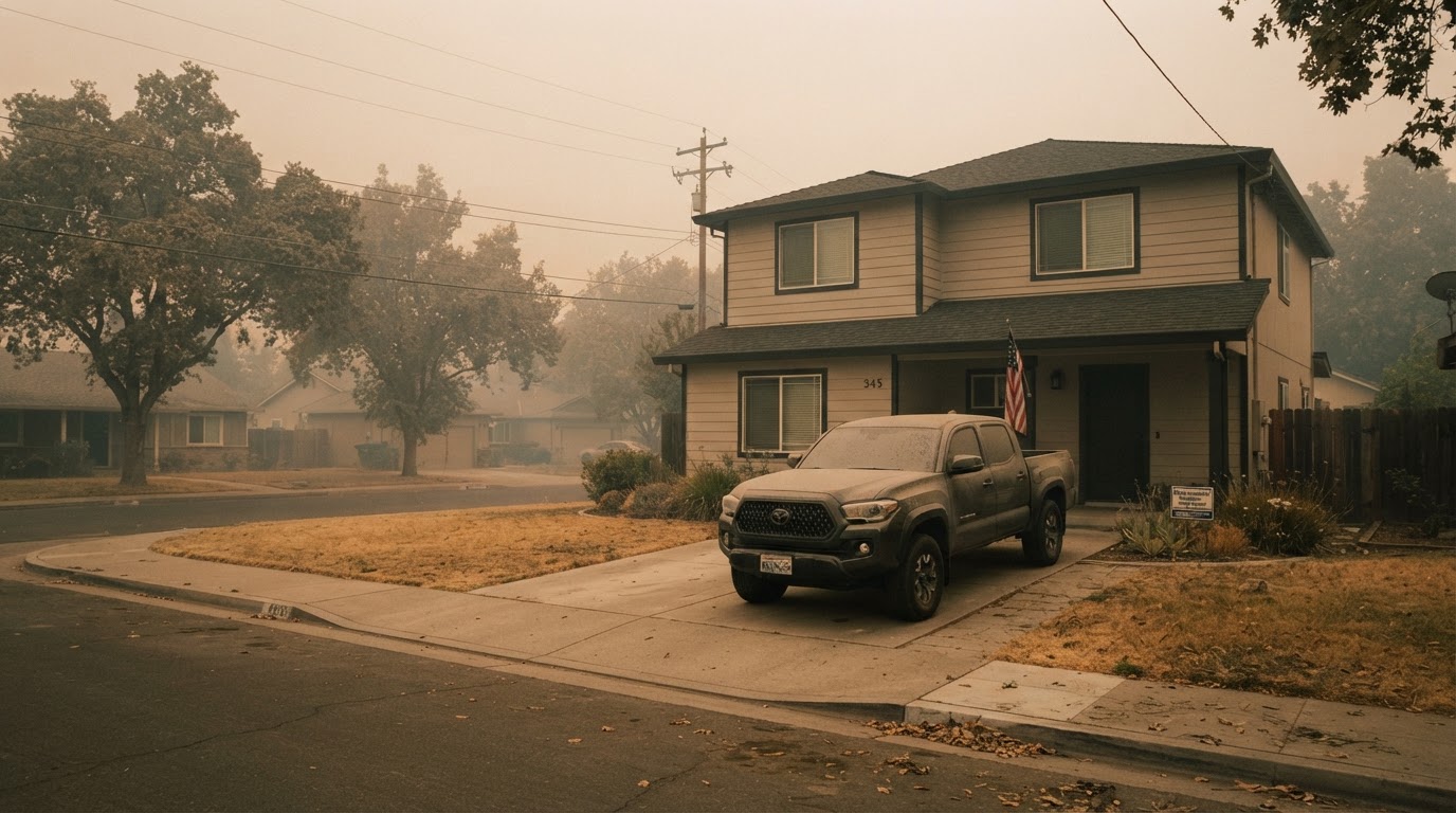 Wildfire Smoke & Air Quality: How to Protect Your HomeLearn how to protect your home and family from wildfire smoke with practical steps from FEMA, CDC, and EPA. From sealing your…Jun 21, 2026Read guide →
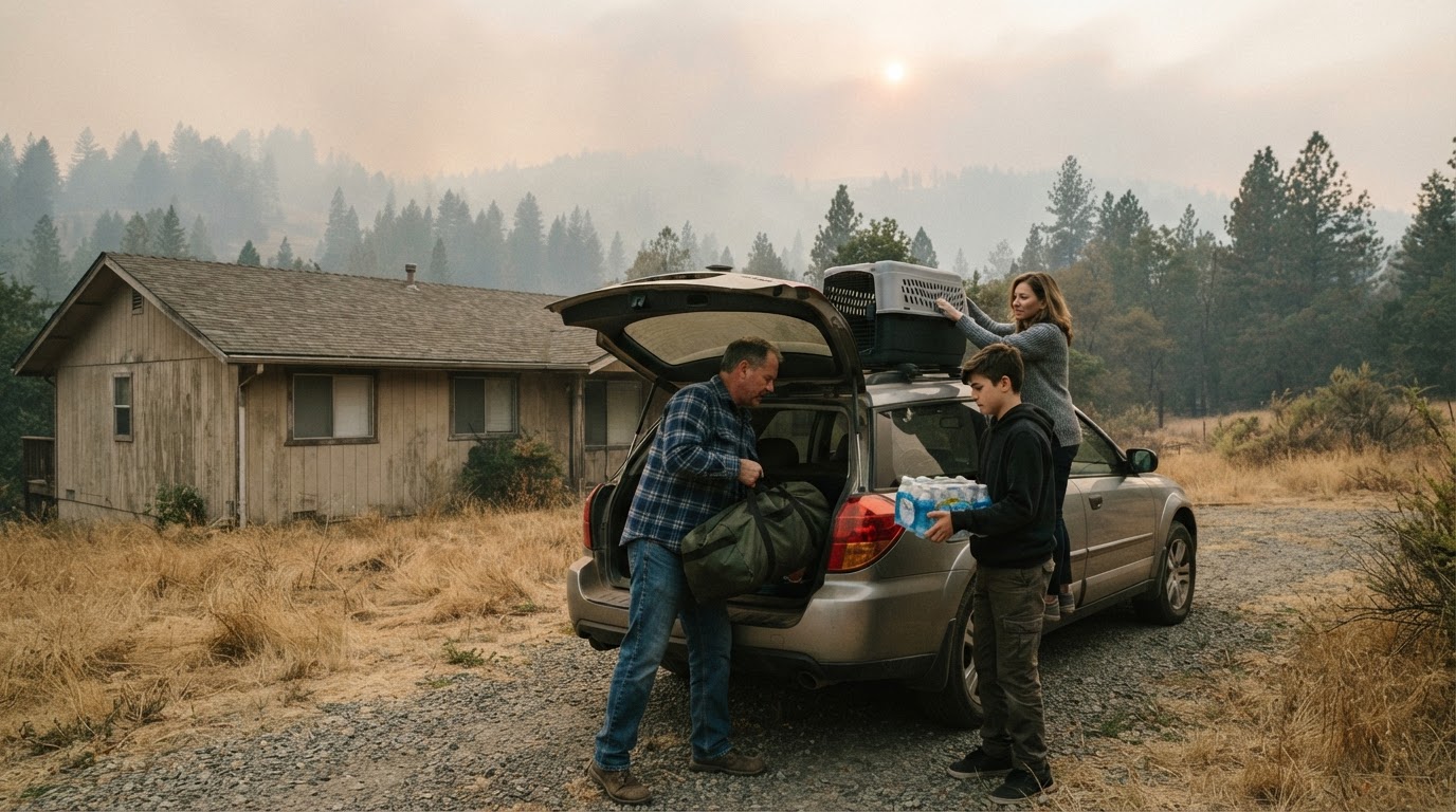 Wildfire Evacuation Prep in 60 Minutes: A Step-by-Step GuideWhen a wildfire threatens, you may have less than an hour to evacuate. Learn how to prepare a go-bag, safeguard your home, and…Jun 21, 2026Read guide →
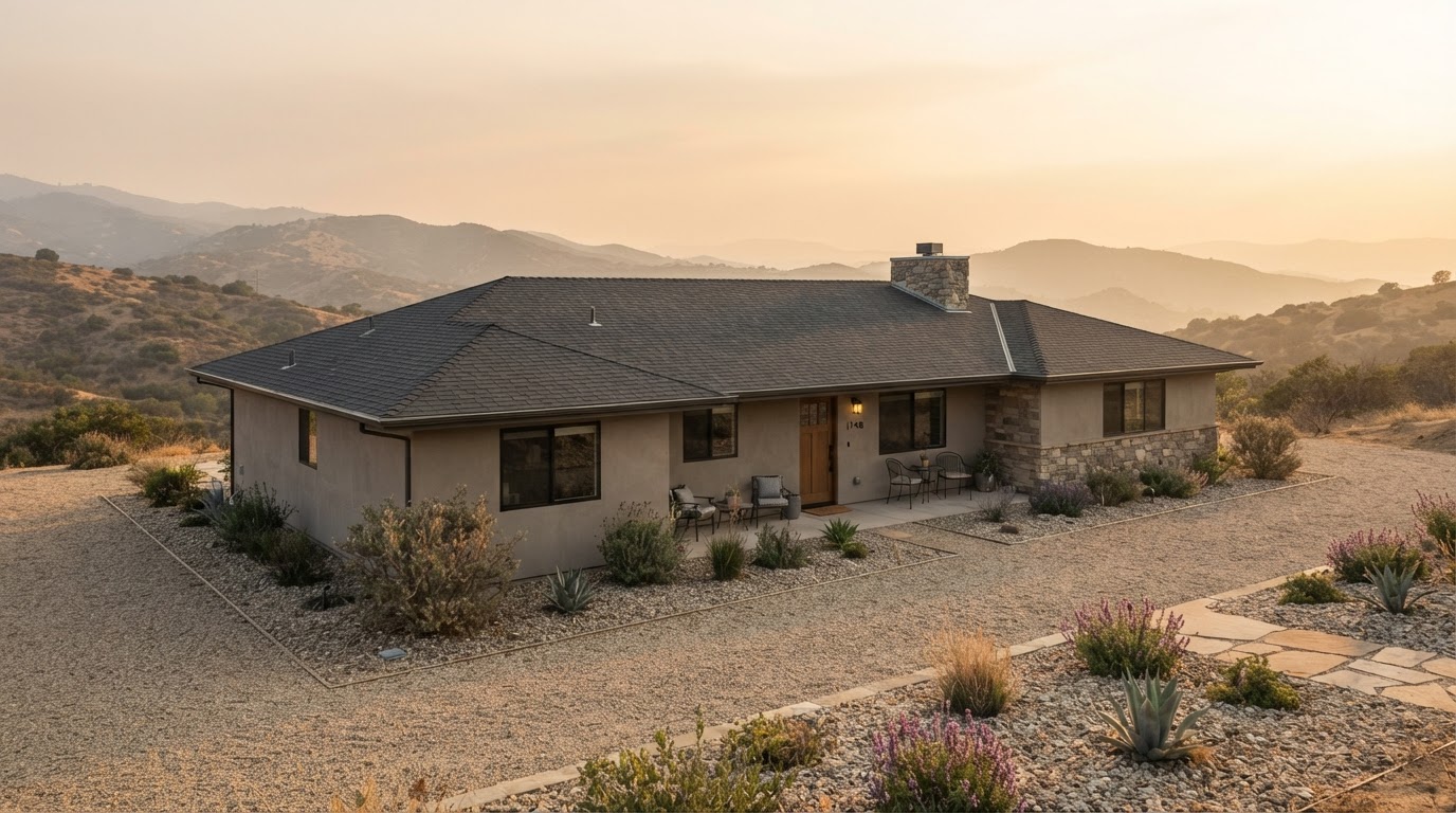 Wildfire Home Hardening: Roof, Vents, Gutters, and Deck ChecklistLearn how to harden your home against wildfire by focusing on four critical areas: roof, vents, gutters, and deck. This checklist…Jun 21, 2026Read guide →