
Northeast region · VT
Vermont home risk profile
Overall home hazard risk: Minor
How to use this profile
- Scan the hazard list. Anything rated Major or Extreme is the next page to open.
- Read the insurance note — flood and earthquake are usually separate policies.
- Look up your ZIP, then confirm the address on the official maps linked from each hazard page.
You're flying into Burlington on Friday to walk a house on a dirt road in Jericho, and the seller's disclosure mentions a wet basement in April. That detail matters more in Vermont than almost anywhere else you might be shopping. This state's two big home hazards are winter storms, which we rate 5/5, and flooding, at 3/5. Everything else on the list — earthquakes, drought, landslides, severe thunderstorms, the occasional tornado — is real but secondary.
Winter is the one you'll live with every year. Vermont gets long cold seasons with heavy snow, ice, and the freeze-thaw cycle that quietly wrecks roofs, gutters, and driveways. Power outages from ice and wet snow can stretch for days in rural towns, which is why a generator or a wood stove isn't a luxury here — it's part of the house. Budget for plowing, roof snow load, and heat. Ask the seller what the heating bill looked like last February, not last October.
Flooding is the quieter risk, and it's the one buyers underestimate. It isn't only the Winooski or the Lamoille overflowing. It's a culvert backing up, a hillside saturating, a small brook that turns into a problem in a single afternoon. Tropical Storm Irene in 2011 made that clear across much of the state. Check the FEMA flood map for the specific parcel — not the town — and look at where water would go if the driveway culvert plugged. If the house sits near a stream or at the bottom of a slope, get a real answer before you waive anything.
Start with two things: pull the FEMA flood map for the address, and call Vermont Emergency Management (vem.vermont.gov) to see how your town handles storm response and evacuation notices. Vermont homes are generally well built for cold. The failures we see are drainage and access — a long driveway that ices shut, a road that floods before you can leave. Solve those first with your limited inspection budget, then worry about the rest.
Risk levels in Vermont
Statewide scores, highest first. A neighborhood can look different from the state average — use these to decide which official map to open.
What the ratings mean
"MinimalMinorModerateMajorExtreme
Each rating is a statewide starting point, framed for a typical 30-year stay — the length of a standard mortgage. A neighborhood can look different from the state average. Always verify your address with official FEMA, NOAA or USGS maps.
Questions about Vermont
- What is the overall home-hazard rating in Vermont?
- Vermont scores Minor overall on our statewide scale. That average can hide one severe local peril — open the highest-rated hazard pages and then verify your address.
- Does a standard homeowners policy cover the main risks in Vermont?
- Weight of ice and snow is often covered; flood from a burst pipe or ice jam may need extra coverage. Frozen-pipe exclusions show up when heat was off.
- How should I use this Vermont page?
- Treat it as a briefing, not a determination. Check the hazard list, open the pages rated Major or Extreme, then confirm the parcel on FEMA, NOAA or USGS maps and with Vermont Emergency Management.
Last updated: October 8, 2026. Risk levels are state-wide estimates based on public hazard data (FEMA, NOAA, USGS) — always verify your specific address with official sources.
Guides to read with this profile
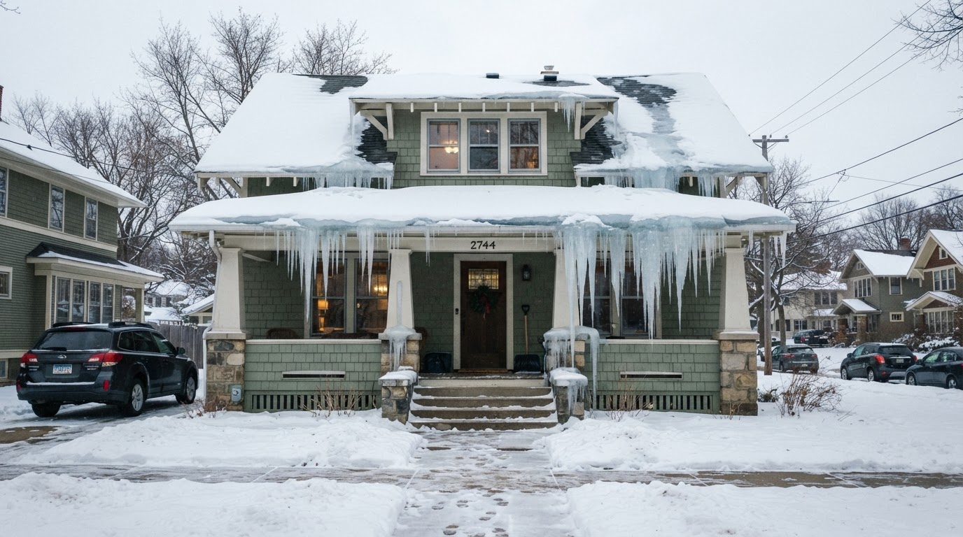 Stop Ice Dams: Essential Prevention Tips for Your RoofIce dams can cause costly damage to your home. Learn how to prevent them with proper insulation, ventilation, and smart home…Jun 21, 2026Read guide →
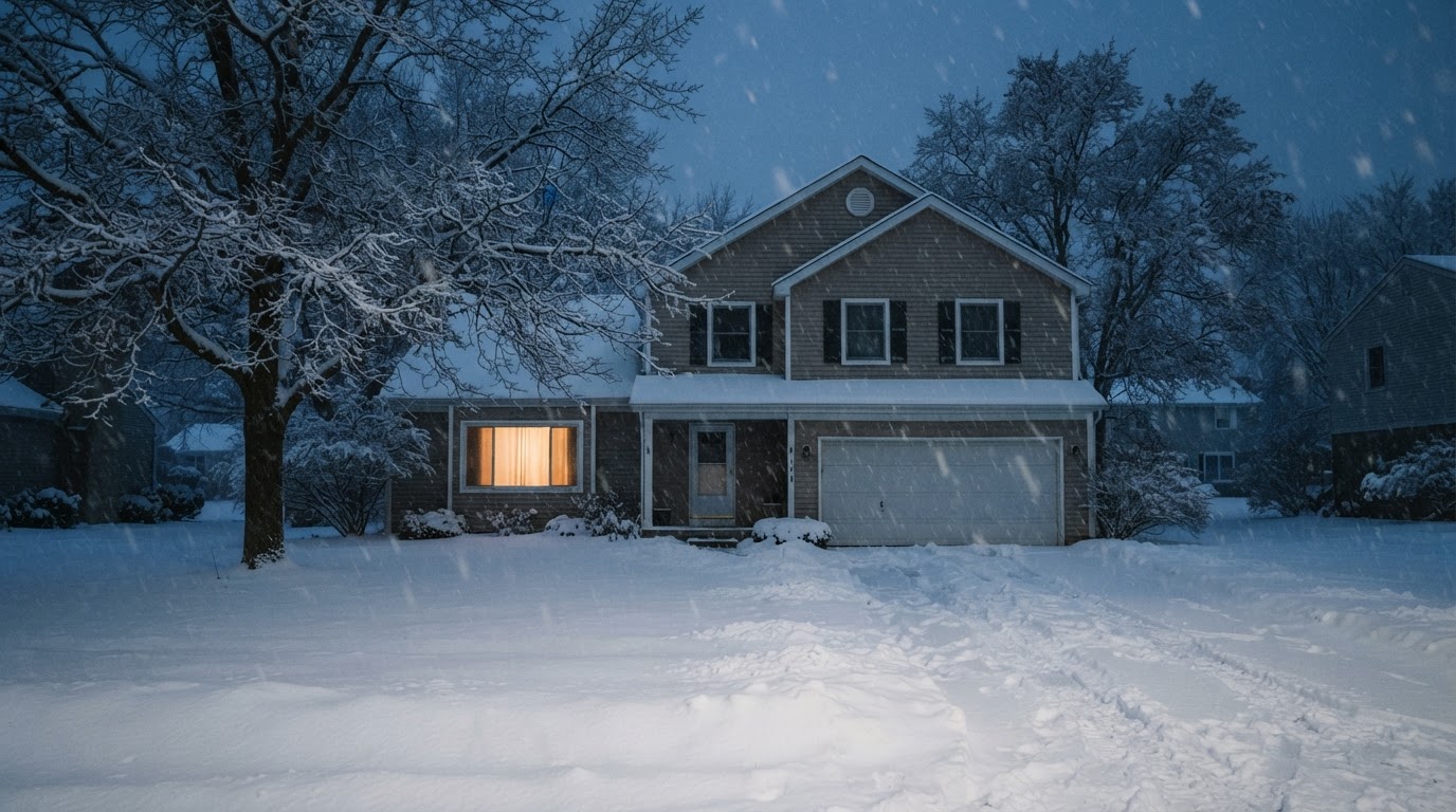 Safe Backup Heating for Winter Power Outages: Expert TipsLearn how to stay warm safely during a winter power outage with backup heating options recommended by FEMA, Ready.gov, and the…Jun 21, 2026Read guide →
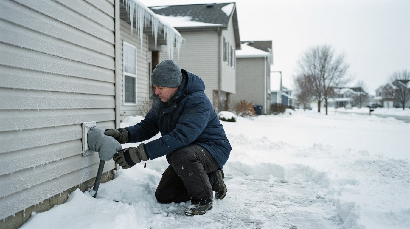 Prevent Frozen and Burst Pipes This WinterFrozen pipes can burst and cause costly water damage. Learn practical steps from FEMA and Ready.gov to protect your home before,…Jun 21, 2026Read guide →