
West region · WA
Washington home risk profile
Overall home hazard risk: Moderate
How to use this profile
- Scan the hazard list. Anything rated Major or Extreme is the next page to open.
- Read the insurance note — flood and earthquake are usually separate policies.
- Look up your ZIP, then confirm the address on the official maps linked from each hazard page.
You're landing at Sea-Tac on Friday for a weekend of house hunting. Before you fall for the Craftsman with the water view, know what you're buying into. Washington's earthquake risk is 5/5—the Cascadia subduction zone and shallow faults like the Seattle fault can shake the whole region. Flooding, landslides, and wildfires all rate 4/5. That's a lot of risk to sort out in two days, but it's doable if you know where to look.
Flooding here isn't just coastal. Rivers coming out of the Cascades swell with winter rain and spring melt. FEMA flood maps help, but they don't catch every drainage ditch or burn scar. Landslides often follow heavy rain on steep slopes, especially where hillsides have been cut for development. Wildfire risk has grown east of the mountains, in places like Spokane and the Okanogan, and in pockets west of the crest. Ask about all three. You can't rely on a single source for any of this.
Winter storms rate a 3/5—they'll knock out power and close passes, but they're not the deal-breaker. The hazards that worry me most are the ones you can't see: the fault line, the floodplain, the slide zone. If you've got one weekend, I'd spend it checking the slope behind the house and asking the seller for flood insurance claims history. That's more useful than a fresh coat of paint. The rest of the hazards on our list are lower, but they're not zero.
Start with the Washington Emergency Management Division for county hazard maps and preparedness guides. Then call the local planning department and ask what happened in the last big storm. No house is risk-free, but you can go in with your eyes open. That's the kind of due diligence that pays off.
Risk levels in Washington
Statewide scores, highest first. A neighborhood can look different from the state average — use these to decide which official map to open.
What the ratings mean
"MinimalMinorModerateMajorExtreme
Each rating is a statewide starting point, framed for a typical 30-year stay — the length of a standard mortgage. A neighborhood can look different from the state average. Always verify your address with official FEMA, NOAA or USGS maps.
Questions about Washington
- What is the overall home-hazard rating in Washington?
- Washington scores Moderate overall on our statewide scale. That average can hide one severe local peril — open the highest-rated hazard pages and then verify your address.
- Does a standard homeowners policy cover the main risks in Washington?
- Earthquake damage is typically excluded from a standard homeowners policy. Coverage is a separate policy or endorsement.
- How should I use this Washington page?
- Treat it as a briefing, not a determination. Check the hazard list, open the pages rated Major or Extreme, then confirm the parcel on FEMA, NOAA or USGS maps and with Washington Emergency Management Division.
Last updated: October 8, 2026. Risk levels are state-wide estimates based on public hazard data (FEMA, NOAA, USGS) — always verify your specific address with official sources.
Guides to read with this profile
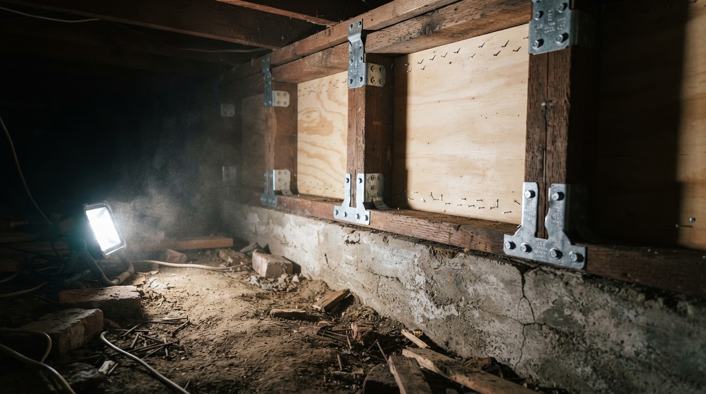 Cripple Wall Retrofit: Strengthen Your Home's Earthquake DefensesLearn how a cripple wall retrofit can prevent your older home from collapsing in an earthquake. Understand the basics, why it…Jun 21, 2026Read guide →
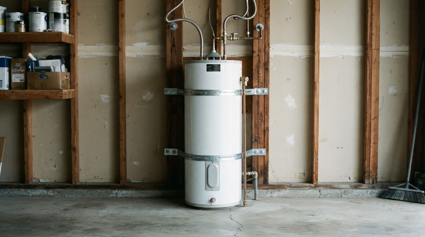 How to Strap Your Water Heater for Earthquake SafetyLearn why securing your water heater is critical after an earthquake and get step-by-step instructions to strap it properly,…Jun 21, 2026Read guide →
 Earthquake Drills for Kids and Seniors: Drop, Cover, Hold OnLearn how to practice 'Drop, Cover, and Hold On' with children and older adults. This guide provides step-by-step drills,…Jun 21, 2026Read guide →