
Southeast region · TN
Tennessee home risk profile
Overall home hazard risk: Moderate
How to use this profile
- Scan the hazard list. Anything rated Major or Extreme is the next page to open.
- Read the insurance note — flood and earthquake are usually separate policies.
- Look up your ZIP, then confirm the address on the official maps linked from each hazard page.
A Tuesday roof inspection, a Friday closing date, and a flood-zone letter from the lender sitting on the kitchen counter. That's how most Tennessee buyers first run into hazard risk — usually about four days before they're supposed to sign. It's worth slowing down. Tennessee sits where Gulf moisture, cold fronts, and two seismic zones overlap, and that overlap decides a lot about what you'll pay to insure the house.
Flooding and severe storms both score 4 out of 5 in our ratings, the highest marks we give the state. Flooding here isn't only a river story. A slow-moving storm over Nashville or Chattanooga can push a creek over its banks in an hour, and FEMA's flood maps don't catch every lot that takes on water. Severe storms carry the same system: straight-line wind, hail, and outages that stretch for days. Tornadoes also rate 4 out of 5. In Tennessee they often arrive at night and outside the spring window people picture, which is exactly why you want an alert that actually wakes you.
Earthquakes land at 3 out of 5, and that one surprises people. West Tennessee sits near the New Madrid Seismic Zone, and the eastern half of the state has its own fault history. Standard homeowners policies typically exclude earthquake damage, so that's a separate conversation with your agent. Extreme heat also rates 3 out of 5 — Memphis and the western counties run hotter and stickier than the Cumberland Plateau, and that shows up in cooling bills as much as in health risk.
If you have one evening before closing, spend it on the flood map. Ask the seller for loss history and any elevation certificate, then check your county hazard plan and the Tennessee Emergency Management Agency for the state's own risk guidance. Wildfire, drought, landslides, winter storms, and hurricanes all rate 1 or 2 here, but lower isn't zero — a hillside lot in East Tennessee still deserves a second look. Read the rest of this profile before you decide what to insure.
Risk levels in Tennessee
Statewide scores, highest first. A neighborhood can look different from the state average — use these to decide which official map to open.
What the ratings mean
"MinimalMinorModerateMajorExtreme
Each rating is a statewide starting point, framed for a typical 30-year stay — the length of a standard mortgage. A neighborhood can look different from the state average. Always verify your address with official FEMA, NOAA or USGS maps.
Questions about Tennessee
- What is the overall home-hazard rating in Tennessee?
- Tennessee scores Moderate overall on our statewide scale. That average can hide one severe local peril — open the highest-rated hazard pages and then verify your address.
- Does a standard homeowners policy cover the main risks in Tennessee?
- Standard homeowners insurance almost never covers flood. You need a separate NFIP or private flood policy, and it usually has a waiting period.
- How should I use this Tennessee page?
- Treat it as a briefing, not a determination. Check the hazard list, open the pages rated Major or Extreme, then confirm the parcel on FEMA, NOAA or USGS maps and with Tennessee Emergency Management Agency.
Last updated: October 8, 2026. Risk levels are state-wide estimates based on public hazard data (FEMA, NOAA, USGS) — always verify your specific address with official sources.
Guides to read with this profile
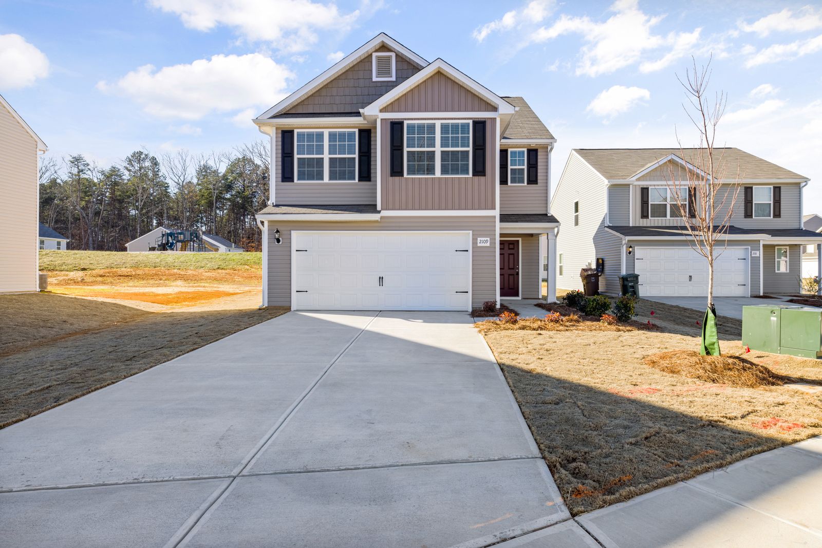 InsuranceExcess Flood Insurance: Coverage Above NFIP's $250,000 LimitThe NFIP caps flood coverage at $250,000 for the building and $100,000 for contents. If your home would cost more to rebuild,…Oct 15, 2026Read guide →
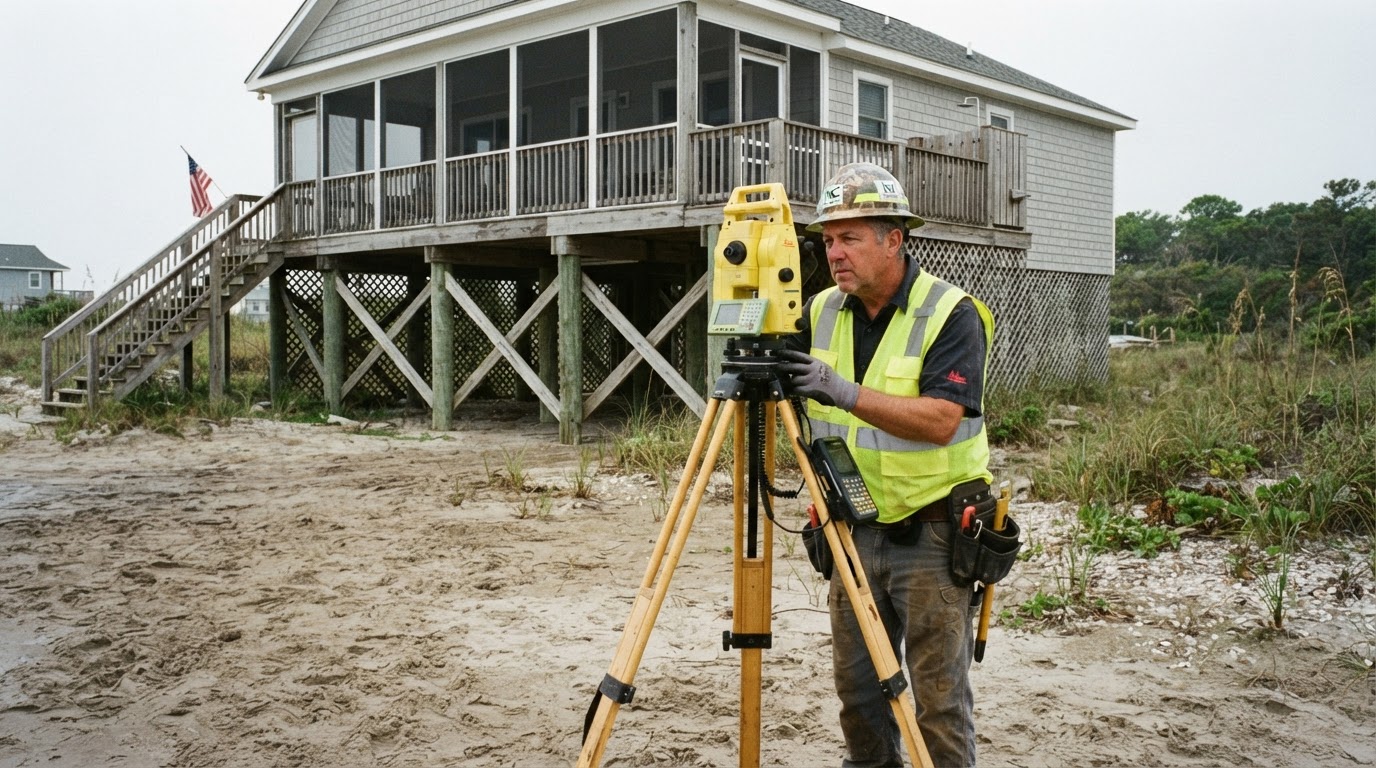 How Elevation Certificates Lower Your Flood Insurance PremiumLearn how an elevation certificate can save you hundreds on flood insurance by accurately showing your home's flood risk. This…Jun 21, 2026Read guide →
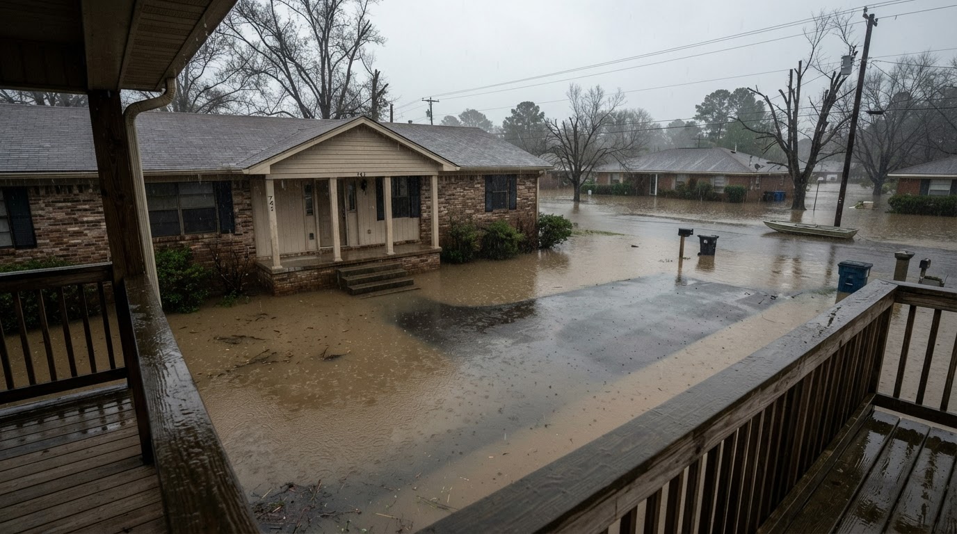 Flooded While Inside: Your Survival GuideIf your home floods while you're inside, every second counts. Learn the life-saving steps from FEMA, the CDC, and Ready.gov to…Jun 21, 2026Read guide →