
Southwest region · TX
Texas home risk profile
Overall home hazard risk: Major
How to use this profile
- Scan the hazard list. Anything rated Major or Extreme is the next page to open.
- Read the insurance note — flood and earthquake are usually separate policies.
- Look up your ZIP, then confirm the address on the official maps linked from each hazard page.
You've got a closing date on a house in Round Rock, and the seller just handed you a flood zone letter that says 'Zone AE.' Your first thought: does that matter this far from the coast? In Texas, yes. This state is too big for one answer. A home in El Paso faces different risks than one in Galveston or Amarillo. That's why the Texas Division of Emergency Management keeps county-level plans, and why you should look at your address, not the state average.
Our ratings put flooding and drought at 5/5—the top of the scale. Flooding isn't just a hurricane problem. Flash floods hit the Hill Country, and slow-moving storms swamp Houston and Dallas streets. Drought is the slow burn: it cracks foundations, drops well levels, and turns dry brush into fuel. Both can hit the same county in the same year. If you're buying, ask the seller for any flood insurance claims and check the FEMA flood map yourself.
Then there's the rest of the list. Hurricanes and wildfires both rate 4/5. Wildfire risk is real in the Hill Country and West Texas, where subdivisions push into cedars and grass. Hurricanes matter along the Gulf, but wind and rain can reach far inland. Extreme heat, severe storms, and tornadoes also sit at 5/5—I'm not going to list every rating here, but they belong in your homework. Winter storms are a 2/5, earthquakes and landslides a 1/5. That doesn't mean ignore them; it means prioritize.
If I had one afternoon and a hundred dollars before closing, I'd spend it on a flood insurance quote and a foundation inspection, not a general home inspection. Flood damage is typically excluded from standard policies, and drought movement can cost more to fix than a new roof. Start with your county's emergency management office, then the state agency. Texas is a great place to own a home—if you know which hazard is knocking on your specific door.
Risk levels in Texas
Statewide scores, highest first. A neighborhood can look different from the state average — use these to decide which official map to open.
What the ratings mean
"MinimalMinorModerateMajorExtreme
Each rating is a statewide starting point, framed for a typical 30-year stay — the length of a standard mortgage. A neighborhood can look different from the state average. Always verify your address with official FEMA, NOAA or USGS maps.
Questions about Texas
- What is the overall home-hazard rating in Texas?
- Texas scores Major overall on our statewide scale. That average can hide one severe local peril — open the highest-rated hazard pages and then verify your address.
- Does a standard homeowners policy cover the main risks in Texas?
- Standard homeowners insurance almost never covers flood. You need a separate NFIP or private flood policy, and it usually has a waiting period.
- How should I use this Texas page?
- Treat it as a briefing, not a determination. Check the hazard list, open the pages rated Major or Extreme, then confirm the parcel on FEMA, NOAA or USGS maps and with Texas Division of Emergency Management.
Last updated: October 8, 2026. Risk levels are state-wide estimates based on public hazard data (FEMA, NOAA, USGS) — always verify your specific address with official sources.
Guides to read with this profile
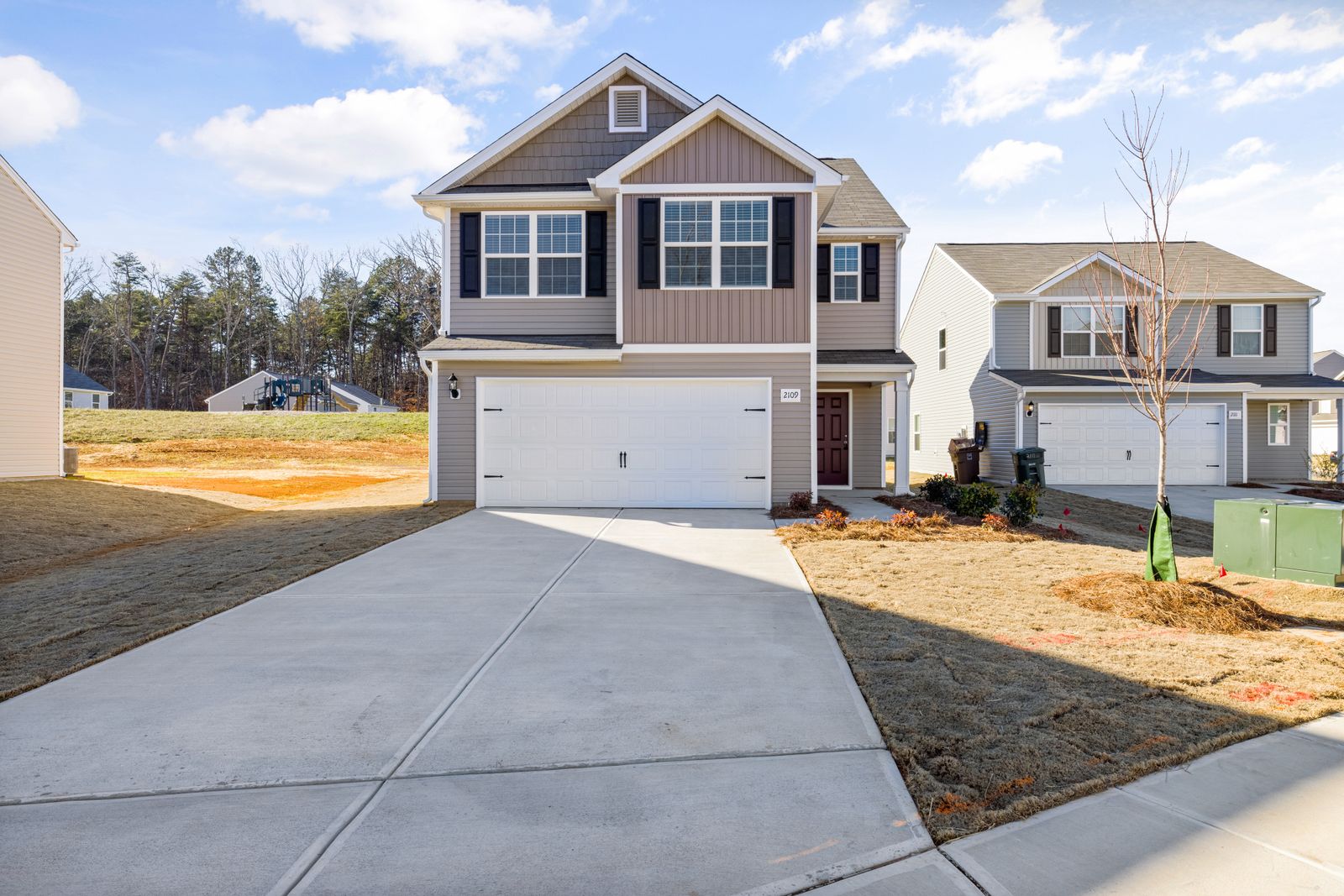 InsuranceExcess Flood Insurance: Coverage Above NFIP's $250,000 LimitThe NFIP caps flood coverage at $250,000 for the building and $100,000 for contents. If your home would cost more to rebuild,…Oct 15, 2026Read guide →
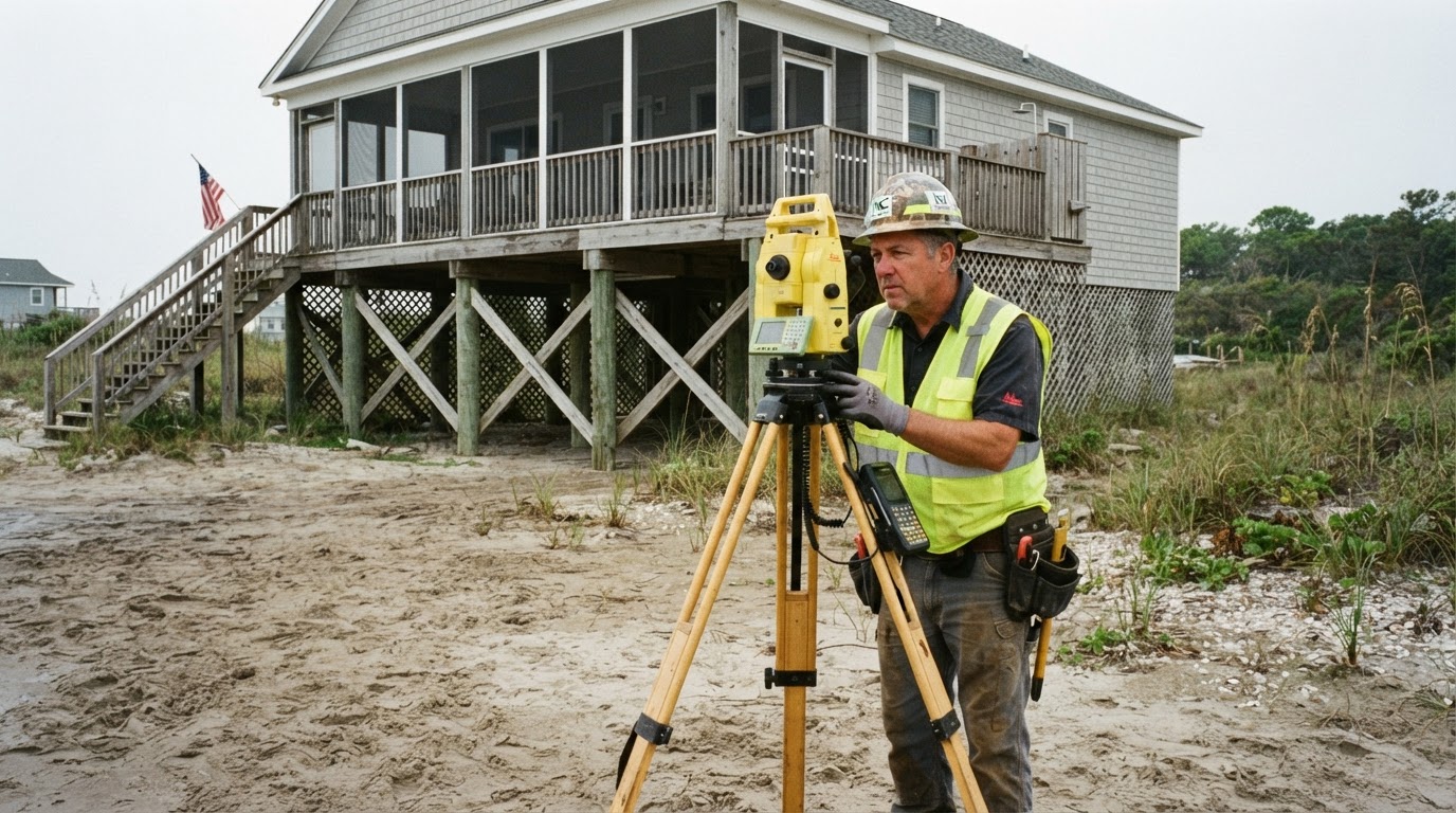 How Elevation Certificates Lower Your Flood Insurance PremiumLearn how an elevation certificate can save you hundreds on flood insurance by accurately showing your home's flood risk. This…Jun 21, 2026Read guide →
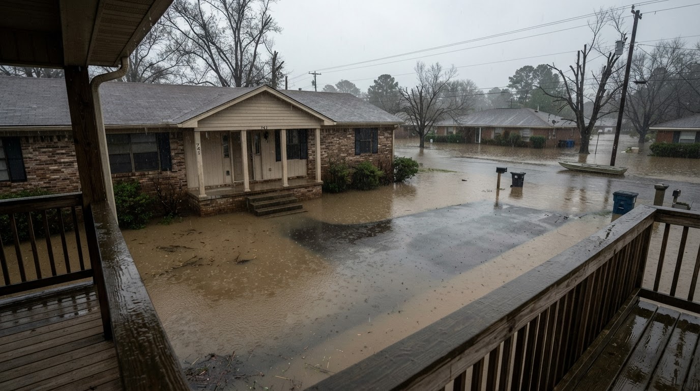 Flooded While Inside: Your Survival GuideIf your home floods while you're inside, every second counts. Learn the life-saving steps from FEMA, the CDC, and Ready.gov to…Jun 21, 2026Read guide →