
FEMA Flood Zones Explained: A, AE, X and What They Mean
3 min read
On this page
Learn what FEMA flood zones A, AE, and X mean for your home, whether flood insurance is required, and how to find your zone on Flood Maps.
What Are FEMA Flood Zones?
FEMA flood zones are geographic areas defined by the Federal Emergency Management Agency (FEMA) to indicate the level of flood risk. They are shown on Flood Insurance Rate Maps (FIRMs) and are used to set flood insurance requirements and building standards. Understanding your zone helps you know your risk and whether you need flood insurance.
Understanding Zone A
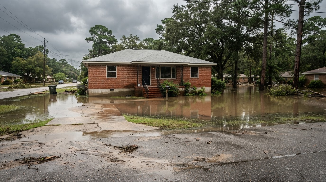
Zone A is a high-risk area with a 1% annual chance of flooding (the “100-year flood”). No base flood elevations (BFEs) are calculated. Flood insurance is required for federally backed mortgages. Properties here are at significant risk.
Subtypes of Zone A
- A1-30: Zones with determined BFEs.
- AH: Areas with shallow flooding (ponding) 1-3 ft deep.
- AO: Areas with shallow flooding (sheet flow) 1-3 ft deep.
- AR: Areas temporarily protected by flood control projects.
- A99: Areas protected by levees under construction.
Understanding Zone AE
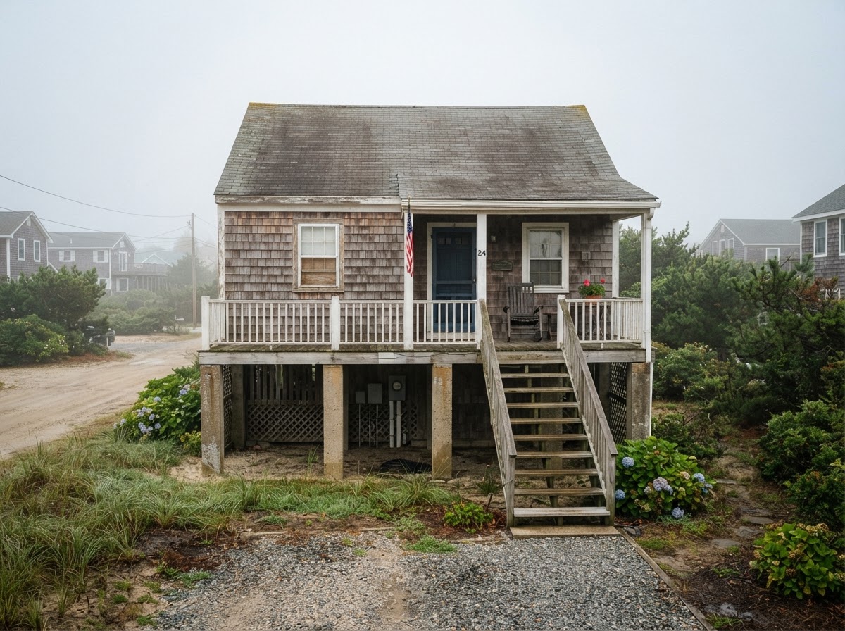
Zone AE is also high-risk (1% annual chance), but with detailed BFEs. The floodplain is mapped with elevation data. Insurance is mandatory for mortgages. New construction must be elevated to or above the BFE.
Zone AE is common in coastal and riverine areas. Check your local building codes for elevation requirements.
Understanding Zone X (and X500)
Zone X is a moderate-to-low risk area. There are two subtypes:
- Zone X (shaded): Moderate risk, 0.2% annual flood chance (500-year flood). Insurance is recommended but not required.
- Zone X (unshaded): Low risk, minimal flood hazard. Insurance is optional, though 25% of flood claims come from these zones.
Don’t assume you’re safe. Flooding can happen outside high-risk zones.
How to Find Your Flood Zone
Use the FEMA Flood Map Service Center. Enter your address to see the current FIRM and zone. You can also contact your local floodplain manager.
If you disagree with your zone, you can request a Letter of Map Amendment (LOMA) if you believe your property is above the floodplain.
Why Your Flood Zone Matters
Your zone affects:
- Insurance requirements: Lenders require flood insurance for high-risk zones.
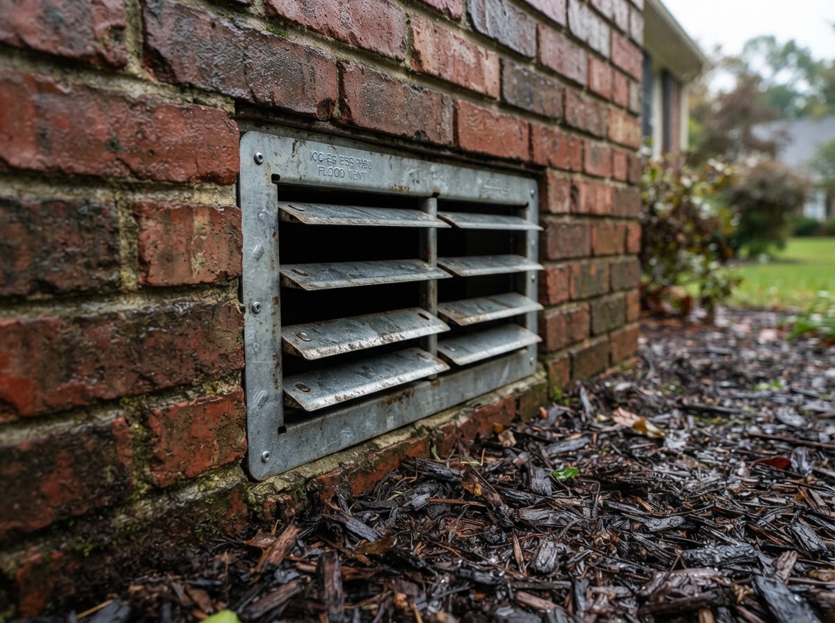
- Building codes: Elevation and floodproofing standards apply in A and AE zones.
- Property value: Flood risk disclosure is mandatory in many states.
- Disaster assistance: Federal aid after floods may be affected by insurance status.
Check zones before buying a home. Flood risk can change with new maps.
Flood Insurance Requirements
If your home is in Zone A or AE (or other high-risk zones) and you have a federally backed mortgage, you must buy flood insurance from the National Flood Insurance Program (NFIP) or a private insurer. The average NFIP premium is around $700 per year, but varies widely. Even in low-risk zones, consider insurance—it can cost as little as $200 per year for a Preferred Risk Policy.
Renters can also buy contents-only coverage. Flood insurance is separate from homeowners insurance.
Actionable Conclusion
Know your flood zone—it’s the first step to protecting your home. Visit the FEMA Flood Map Service Center today, talk to your insurance agent, and consider flood insurance even if not required. For more details, see Ready.gov/floods and FloodSmart.gov.
About our guidance
Our guides are grounded in publicly available information from official sources such as FEMA, NOAA, USGS and Ready.gov. Information is general in nature — always verify details for your specific property and policy with official sources and your insurer.
Related guides
 InsuranceLender-Placed Flood Insurance: The Expensive Backup If Your Policy LapsesYour lender can force-place flood insurance if your policy lapses — and bill you for it, usually at a higher price. Here is how…Oct 15, 2026Read guide →
 InsuranceWhat Happens to Your NFIP Policy If Congress Lets the Program LapseCongress extended the NFIP through December 11, 2026. If the program lapses, existing policies stay in force and claims get paid…Oct 15, 2026Read guide →
 InsuranceExcess Flood Insurance: Coverage Above NFIP's $250,000 LimitThe NFIP caps flood coverage at $250,000 for the building and $100,000 for contents. If your home would cost more to rebuild,…Oct 15, 2026Read guide →