
How to Read Home Risk Ratings (and What They Mean for You)
4 min read
On this page
State ratings on this site are a 1–5 starting point, not a flood-zone letter for one lot. Here is how to read them, what they skip, and which official map to open next.
You are three days from closing. The seller’s disclosure is a shrug. You open a state page on this site and see ten colored bars — flood 4, hurricane 5, earthquake 1. Those numbers are useful. They are not a survey of the house you are about to buy.
Every state profile here rates ten natural hazards from 1 (very low) to 5 (very high). The score is a statewide starting point inspired by public comparison tools such as FEMA’s National Risk Index. Two houses in the same ZIP can still have different flood, fire, or wind stories. Use the rating to decide what to look up. Then look it up on the official map.
What the 1–5 levels actually mean
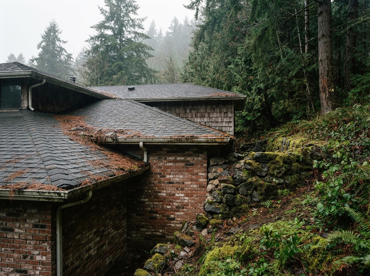
Level 1–2 (very low to low). Damaging events are uncommon for that hazard in most of the state. Basic awareness is enough for many households — a NOAA weather radio, a practiced meeting place, and a policy you have actually read. “Low” is not “impossible.” Inland hurricane remnants still flood Ohio River towns. A New Madrid quake would still matter in western Tennessee.
Level 3 (moderate). Damaging events happen regularly somewhere in the state. Review insurance and write a one-page family plan. If you only do one extra thing, check whether flood or earthquake — the two common HO-3 exclusions — apply to your street.
Level 4–5 (high to very high). This hazard is a defining risk for the state. Mitigation, the right extra policy, and a practiced plan are worth the weekend. Florida hurricane, California wildfire, Oklahoma tornado, Alaska earthquake: the rating is telling you to treat that risk as part of owning the house, not as a news story that happens to other people.
State ratings are averages. Your lot is not.
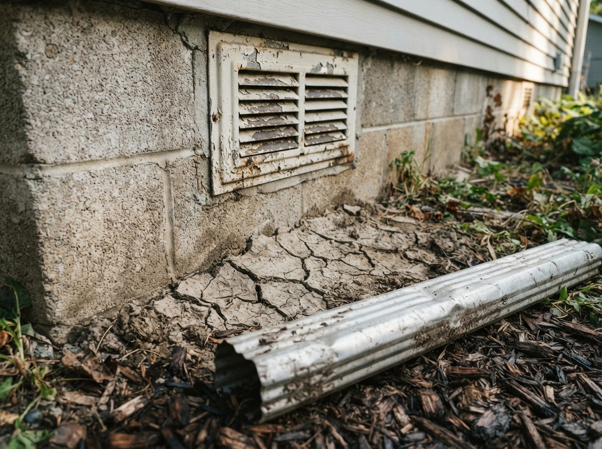
Florida is very high for hurricanes. The Keys, the Panhandle, and an inland lake county do not share the same surge or wind story. California is very high for wildfire, yet a mid-rise in downtown Sacramento is not a canyon house in Paradise. A 5 on the state page means “this hazard shapes insurance and building practice here,” not “every parcel burns.”
That is why every hazard page on this site links out. FEMA’s flood map is address-specific. USGS seismic maps are regional but far more precise than a single state number. Your county emergency-management site names evacuation zones that we will not invent.
If you are comparing two states on our compare tool, treat the table as a briefing, then open both state pages and the official maps. A low average can hide one severe local hazard — a mapped floodplain in an otherwise mild state.
If you only do one thing
Pull the FEMA flood map for the exact address. Not the city. The address. Flood is the most common and costly natural disaster in the United States, and a standard homeowners policy almost never pays for it. That one lookup tells you more than any “safest state” headline.
How ratings should change what you buy and insure
A high wind or hail score is a reminder to read the hurricane or wind deductible — often a percentage of dwelling value, not a flat $1,000. A high flood or earthquake score is a reminder that those perils are usually excluded from an HO-3. A high wildfire score is a reminder that some insurers now require defensible space or will non-renew. None of that is legal advice. It is a checklist of questions for your agent and the official sources linked on the page.
We are not FEMA, NOAA, USGS, or an insurer. Ratings here do not replace a flood determination, a home inspection, or a declarations page. In an emergency, follow local authorities. Call 911 if you need immediate help.
Questions we get
Can I trust a 1 rating and skip flood insurance?
No. About a quarter of NFIP claims come from properties outside high-risk flood zones. A statewide 1 means the state as a whole is not flood-dominated. Your cul-de-sac can still sit in Zone AE. Check the map.
Why doesn’t my city page show different numbers than the state?
City profiles on this site are local snapshots that inherit statewide scores. They are a doorway into the state × hazard pages, not a parcel model. Always verify the address.
Where do I go after I read the bars?
Open the matching hazard page, then the official link list: FEMA flood maps, FloodSmart, Ready.gov, USGS, and your state emergency agency. If you are still under contract, take those printouts to the inspection.
Official sources
- FEMA Flood Map Service Center
- FEMA National Risk Index
- FloodSmart / National Flood Insurance Program
- Ready.gov
- USGS Earthquake Hazards
Read the bars. Then close this tab and open the map for the house you actually care about.
Print this page if you want, but the useful artifact is the official map plus your declarations page in the same folder as the kit documents. Ratings expire as landscapes change; the review date on each profile is when we last checked the copy, not when the last storm hit.
About our guidance
Our guides are grounded in publicly available information from official sources such as FEMA, NOAA, USGS and Ready.gov. Information is general in nature — always verify details for your specific property and policy with official sources and your insurer.
Related guides
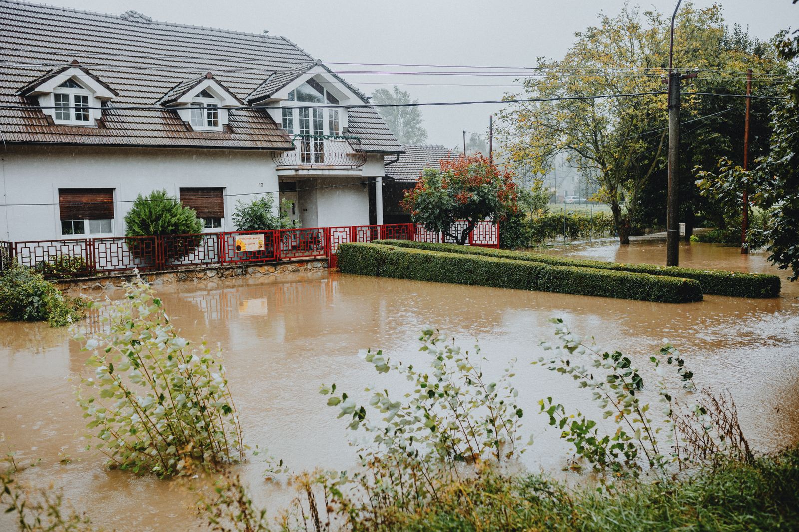 InsuranceLender-Placed Flood Insurance: The Expensive Backup If Your Policy LapsesYour lender can force-place flood insurance if your policy lapses — and bill you for it, usually at a higher price. Here is how…Oct 15, 2026Read guide →
 InsuranceWhat Happens to Your NFIP Policy If Congress Lets the Program LapseCongress extended the NFIP through December 11, 2026. If the program lapses, existing policies stay in force and claims get paid…Oct 15, 2026Read guide →
 InsuranceExcess Flood Insurance: Coverage Above NFIP's $250,000 LimitThe NFIP caps flood coverage at $250,000 for the building and $100,000 for contents. If your home would cost more to rebuild,…Oct 15, 2026Read guide →