
Natural Disaster Risks to Check Before Offering on a House
4 min read
On this page
Learn how to evaluate flood, wildfire, earthquake, hurricane, tornado, and drought risks for a property using official government sources like FEMA, USGS, and NOAA before making your offer.
When you're ready to make an offer on a house, the last thing you want is an expensive surprise from a natural disaster. Beyond the home inspection, it's critical to assess the property's exposure to hazards such as floods, wildfires, earthquakes, hurricanes, tornadoes, and drought. This article walks you through practical steps, using reliable data from U.S. government agencies, to help you make an informed decision.
Flood Risk
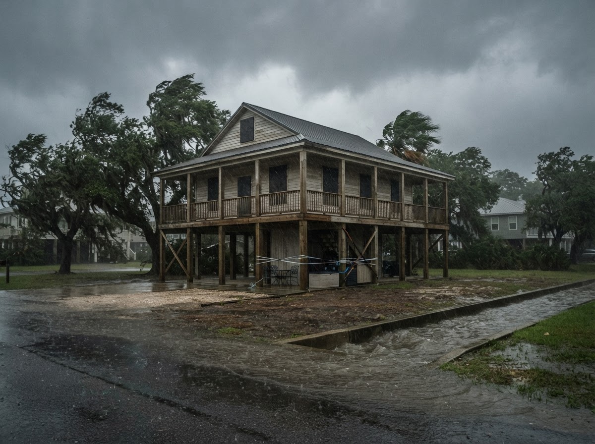
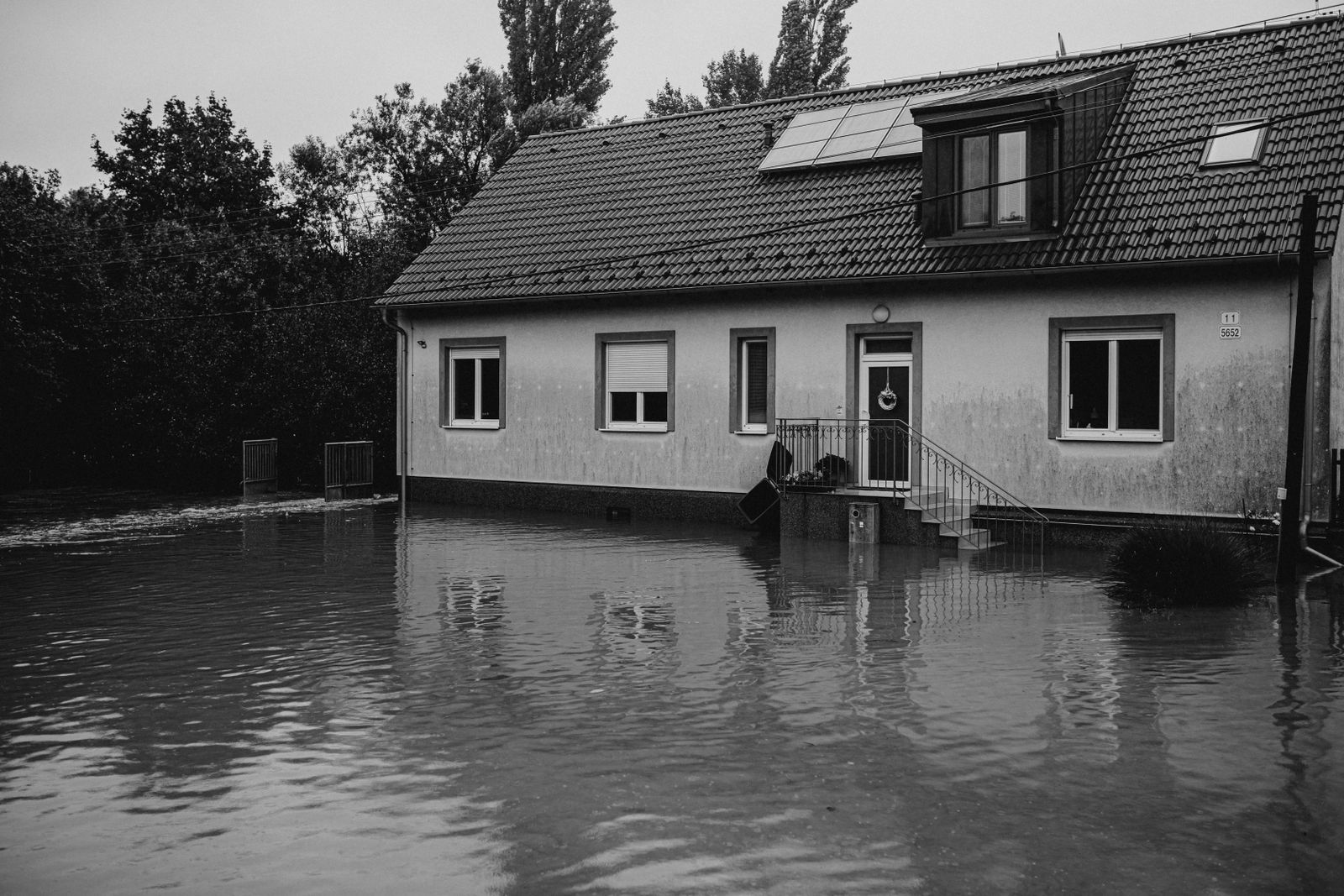
Floods are the most common and costly natural disaster in the U.S. Even properties outside designated flood zones can flood. Start by checking FEMA's Flood Map Service Center. Enter the property address to view the current flood map and determine its Flood Insurance Rate Map (FIRM) zone.
- Special Flood Hazard Areas (SFHAs) – zones starting with A or V – have a 1% annual chance of flooding (the “100-year flood”) and require flood insurance if you have a federally backed mortgage.
- Moderate- to low-risk areas (zones B, C, X) still flood – about 20% of NFIP claims come from these zones. Consider flood insurance regardless.
- Check if the property has experienced previous flooding using NFIP claims data or ask the seller for disclosure (required in many states).
Also review FEMA's Risk MAP for additional flood risk information, including levee and dam inundation zones.
Wildfire Risk
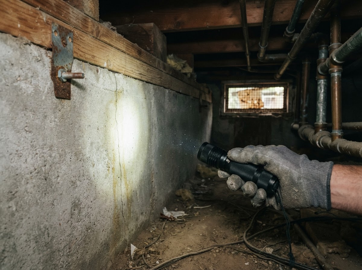
Wildfires threaten homes in the Wildland-Urban Interface (WUI). Use USGS's Wildfire Hazard Potential (WHP) map and FEMA's National Risk Index to see the wildfire risk rating for the property's census tract.
- Check local fire hazard severity zone maps (e.g., CAL FIRE's Fire Hazard Severity Zones in California).
- Look at the home's defensible space – is there at least 5 feet of noncombustible zone immediately around the house? Are roofs and gutters clean of debris?
- Determine if the area is under a Ready, Set, Go! program and find out the local fire department's response time.
Earthquake Risk
Earthquakes can strike without warning, damaging foundations, chimneys, and unreinforced masonry. Start with USGS seismic hazard maps to see the probability of strong shaking (Peak Ground Acceleration) in the area.
- Check if the home is in a known liquefaction zone – consult the state geological survey (e.g., California Geological Survey).
- Hire a structural engineer to inspect for weaknesses: foundation bolting, cripple wall bracing, and chimney reinforcement.
- If the house was built before modern building codes (pre-1980s in many regions), retrofitting may be necessary. Check local earthquake retrofit programs for incentives.
Hurricane and Severe Storm Risk
Coastal and inland areas from Texas to Maine face hurricanes, storm surge, and damaging winds. Use NOAA's National Hurricane Center to see historical storm tracks and surge maps.
- Check FEMA's storm surge hazard maps to see surge depths for Category 1–5 storms.
- Determine if the home meets current building codes for wind resistance – impact-resistant windows, reinforced garage doors, and secondary water barriers for roofs.
- Review the property's elevation relative to Base Flood Elevation (BFE) and consider the cost of flood and wind insurance.
Tornado Risk
Tornadoes can occur anywhere but are most frequent in “Tornado Alley” (parts of the Plains, Midwest, and Southeast). Check NOAA's Storm Prediction Center climatology for your county.
- Look for existing safe rooms or storm shelters – FEMA provides standards for safe rooms that can withstand EF5 winds.
- If none exist, assess the feasibility of retrofitting a basement or interior closet. Check local building codes for tornado-resistant construction.
- Verify that the home meets local wind-load requirements, especially if it was built after 2015 (most codes adopt IRC/IBC).
Drought and Heat Risk
Drought can affect water availability, landscaping, and wildfire risk. Check the U.S. Drought Monitor for current conditions and the CDC's Heat & Health Tracker for heat vulnerability.
- Look for water-efficient landscaping (xeriscaping) and irrigation systems.
- Review local water conservation rules and long-term water supply plans from the municipal water district.
- Consider the home's energy efficiency for cooling – shade trees, attic insulation, and reflective roofing can reduce heat strain.
How to Check These Risks Efficiently
You don't need to visit a dozen websites. The FEMA National Risk Index gives a composite risk score (Very Low to Very High) for 18 natural hazards at the census tract level. Enter the property address to get a quick snapshot.
Also, review your state's Hazard Mitigation Plan for localized risks. And don't forget seller disclosures – many states legally require sellers to disclose known natural hazard risks.
Conclusion
Buying a home is a major investment, and natural disaster risks can significantly affect insurance costs, safety, and resale value. By checking these risks before making your offer, you can decide whether to proceed, negotiate a price adjustment, or require repairs/retrofits. Use official data sources like FEMA, USGS, and NOAA to make evidence-based decisions, and consult with local experts (real estate agents, insurance agents, structural engineers) for property-specific advice. Knowledge is your best protection.
About our guidance
Our guides are grounded in publicly available information from official sources such as FEMA, NOAA, USGS and Ready.gov. Information is general in nature — always verify details for your specific property and policy with official sources and your insurer.
Related guides
 InsuranceLender-Placed Flood Insurance: The Expensive Backup If Your Policy LapsesYour lender can force-place flood insurance if your policy lapses — and bill you for it, usually at a higher price. Here is how…Oct 15, 2026Read guide →
 InsuranceWhat Happens to Your NFIP Policy If Congress Lets the Program LapseCongress extended the NFIP through December 11, 2026. If the program lapses, existing policies stay in force and claims get paid…Oct 15, 2026Read guide →
 InsuranceExcess Flood Insurance: Coverage Above NFIP's $250,000 LimitThe NFIP caps flood coverage at $250,000 for the building and $100,000 for contents. If your home would cost more to rebuild,…Oct 15, 2026Read guide →