
Local focus: Hurricanes
Providence, Rhode Island home risk profile
Providence County · Statewide overall risk: Minor
What this page is
Providence sits in Providence County, Rhode Island. This is a local briefing: it names the hazard that usually matters most here (Hurricanes), then shows the statewide ratings Rhode Island homeowners use to decide what official map to open. It is not a flood-zone letter or an insurance quote.
- Confirm the neighborhood with a ZIP lookup.
- Open Hurricanes in Rhode Island.
- Verify the address on the official maps in the sidebar, then read a matching guide.
Providence sits at the head of Narragansett Bay, and that geography has produced one of the most famous hurricane flood stories in American history: the 1938 hurricane drove a wall of water up the bay and into downtown, flooding the city catastrophically. The hurricane barrier built at Fox Point in the 1960s now protects the downtown core, but the lesson endures — when a major hurricane tracks up the bay, surge funnels directly toward the city. Low-lying areas outside the barrier's protection, along the Seekonk and Providence rivers and the bay's tidal reaches, remain exposed.
For homeowners, Providence's risk extends beyond the headline hurricane scenario. Nor'easters bring coastal flooding to the bay's shoreline neighborhoods and heavy snow and ice in winter; tropical remnants deliver flooding rain to the river corridors. The city's older housing — much of it built in the 19th and early 20th centuries — carries the usual vulnerabilities to wind, water, and ice dams. The practical questions for any buyer are straightforward: is the property behind the hurricane barrier or exposed to the bay, how did the block handle past storms, and is the basement protected against both surge-driven and rain-driven flooding. Providence rewards the prepared.
How to read the Providence snapshot
Providence is in Providence County, Rhode Island. This page does not score individual streets. It tells you which statewide hazards matter most here, then points you to the official map for the address you care about.
The local focus is Hurricanes in Rhode Island. Wind and flood are often different policies. A hurricane can trigger both. Check whether you have a percentage hurricane deductible.
Highest statewide ratings that apply in Providence
- Winter Storms — Major. Rhode Island is rated level 4 out of 5 for winter storm risk. Nor'easters, heavy wet snow, ice storms, high winds and…
- Flooding — Moderate. Flooding is a significant risk in Rhode Island due to its extensive coastline, numerous rivers, and dense development…
- Hurricanes — Moderate. Rhode Island sits directly in the path of hurricanes and tropical storms that track up the Atlantic coast, and the…
What to do before you buy or renew in Providence
- Look up the ZIP on our ZIP tool so you land on this city or the Rhode Island profile.
- Open the Hurricanes page and follow the official map links in the sidebar.
- Confirm preparedness guidance with Rhode Island Emergency Management Agency.
Hazard ratings for Rhode Island
These are state-level scores used across Providence. Use them as a starting point, then verify your exact address with the official maps linked on each hazard page.
What the ratings mean
"MinimalMinorModerateMajorExtreme
Each rating is a statewide starting point, framed for a typical 30-year stay — the length of a standard mortgage. A neighborhood can look different from the state average. Always verify your address with official FEMA, NOAA or USGS maps.
Using the Providence profile
- Does Providence have its own hazard scores?
- No. Providence inherits Rhode Island’s statewide ratings. Use this page to see which peril matters most locally (Hurricanes), then verify the exact address — two streets in Providence County can differ.
- What should I check first in Providence?
- Start with Hurricanes in Rhode Island, then a ZIP lookup and the FEMA or USGS map that matches that hazard.
- Will homeowners insurance cover Hurricanes here?
- Wind and flood are often different policies. A hurricane can trigger both. Check whether you have a percentage hurricane deductible.
Last updated: October 14, 2026. Ratings are state-wide estimates — always verify your specific address with official sources.
Guides for Rhode Island homeowners
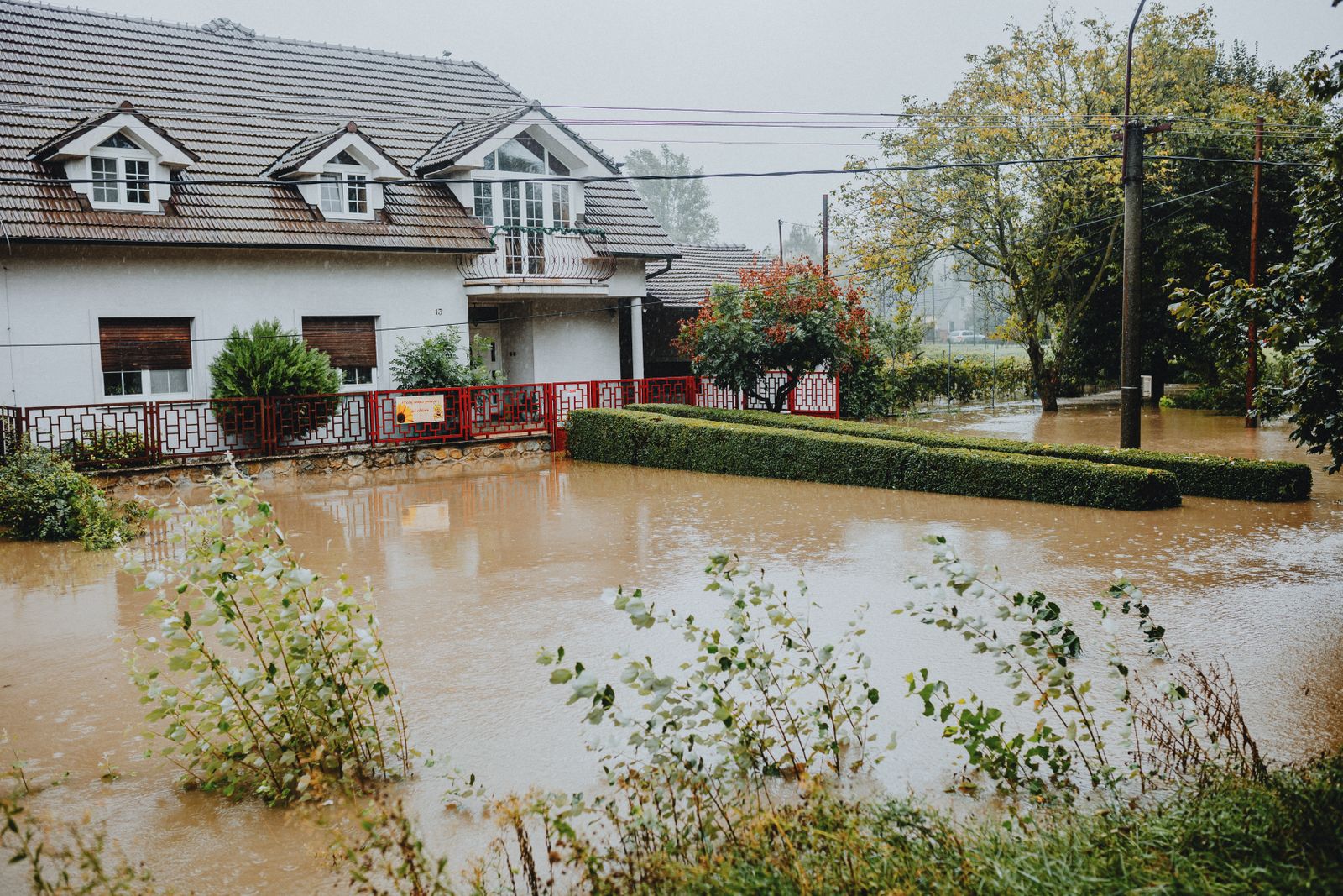 InsuranceLender-Placed Flood Insurance: The Expensive Backup If Your Policy LapsesYour lender can force-place flood insurance if your policy lapses — and bill you for it, usually at a higher price. Here is how…Oct 15, 2026Read guide →
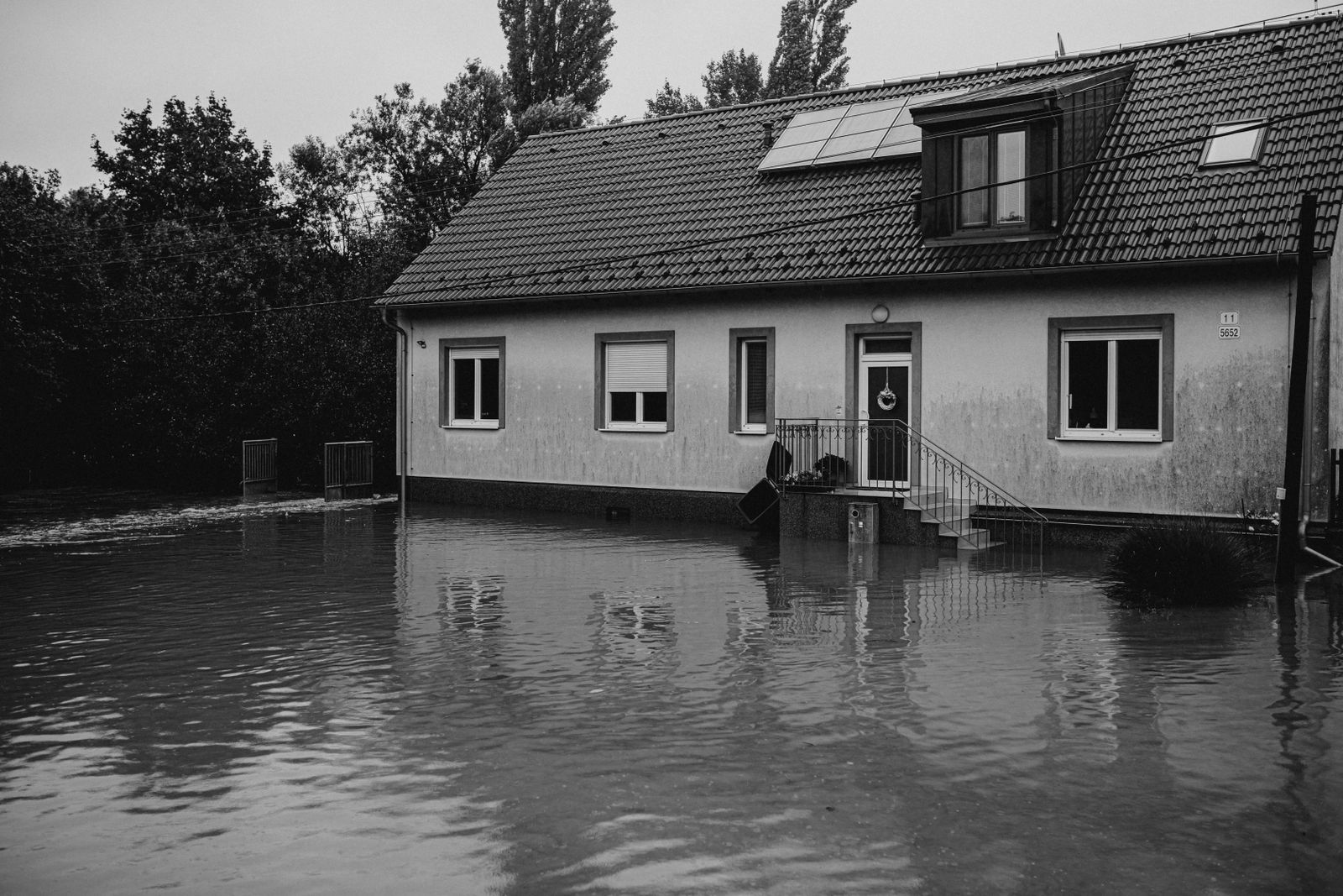 InsuranceWhat Happens to Your NFIP Policy If Congress Lets the Program LapseCongress extended the NFIP through December 11, 2026. If the program lapses, existing policies stay in force and claims get paid…Oct 15, 2026Read guide →
 InsuranceExcess Flood Insurance: Coverage Above NFIP's $250,000 LimitThe NFIP caps flood coverage at $250,000 for the building and $100,000 for contents. If your home would cost more to rebuild,…Oct 15, 2026Read guide →