
El Niño Winter 2026–2027: Which States Face the Highest Flood Risk?
7 min read
On this page
- What an El Niño Winter Actually Means for Flood Risk
- States With the Highest El Niño Flood Risk
- Where El Niño Usually Means Less Flood Risk
- Four Factors That Matter More Than the ENSO Phase
- How to Check Your Own Risk in About Ten Minutes
- A Practical Prep Checklist Before the Rain Starts
- Flood Insurance and the 30-Day Rule
- The Bottom Line
El Niño winters tend to push the storm track across the southern United States, raising flood risk from California to Florida. Here's how to find out what that means for your home — and how to get ready.
What an El Niño Winter Actually Means for Flood Risk
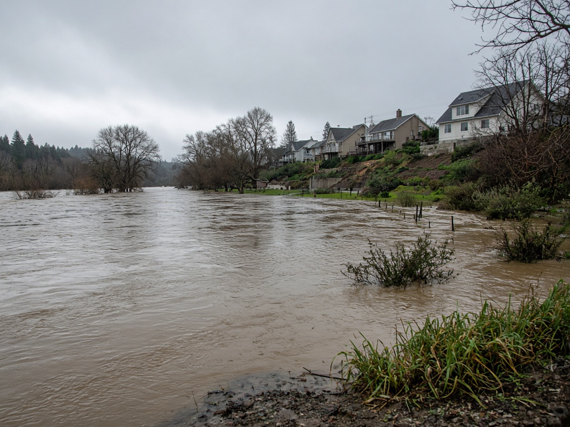
El Niño is the warm phase of the El Niño–Southern Oscillation (ENSO), a pattern of unusually warm ocean water along the equatorial Pacific. It is one of the most closely watched climate signals in the country, because it can reshape where winter storms go for months at a time.
NOAA's Climate Prediction Center issues an ENSO advisory every month. If forecasters confirm El Niño conditions heading into winter 2026–2027, here is the key takeaway for homeowners: the winter storm track in the United States often shifts south, sending more moisture across the southern tier of the country. That generally means a wetter-than-average winter from Southern California through Texas, the Gulf Coast and Florida — and a warmer, drier winter in the Pacific Northwest and northern Rockies.
Three important caveats:
- El Niño is a tilt in the odds, not a guarantee. Any individual storm can still hit anywhere, and dry spells happen inside wet winters.
- Not all El Niños are equal. A strong event looks very different from a weak or borderline one. Check the current CPC ENSO advisory for the latest status and outlook.
- Rainfall totals are not the same as flood risk. How fast rain falls, how saturated the ground already is, and whether there was a recent wildfire nearby often matter more than the seasonal total.
States With the Highest El Niño Flood Risk
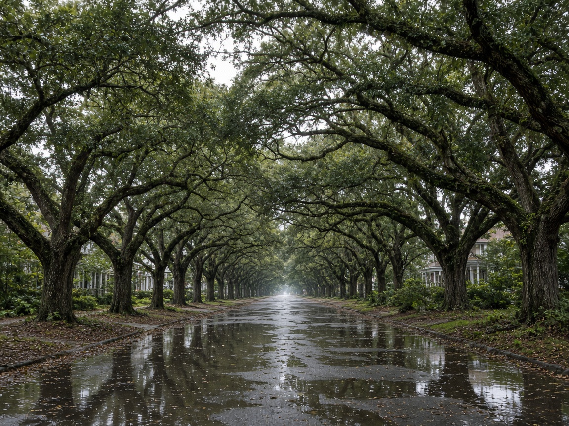
The states below are the ones that have historically seen the most flood-related trouble during El Niño winters. "Highest risk" here means elevated compared with a typical winter — not a prediction that every community in these states will flood.
1. California
California is the classic El Niño flood state. Warm, moisture-heavy Pacific storms known as atmospheric rivers can stall over the state for days, dumping rain on coastal ranges and foothills. Two conditions make California especially dangerous in these winters:
- Burn scars. After a major wildfire, soil can repel water instead of absorbing it. A modest storm on a fresh burn scar can trigger debris flows with almost no warning.
- Rain on snow. When warm storms drop rain onto Sierra snowpack, the combination of rain and rapid melt can overwhelm rivers and reservoirs downstream.
Southern California, the Central Coast and the Sacramento Valley have historically carried the heaviest El Niño flood burden.
2. Arizona, New Mexico and Southern Nevada
These states are dry most of the year, which is exactly why flooding can catch residents off guard. Desert soil and steep terrain shed water quickly, and normally dry washes — often called arroyos — can turn into fast-moving rivers within minutes of a storm. Areas scarred by recent wildfires face an added debris-flow risk. The Southwest also gets the tail end of tropical moisture from the eastern Pacific, which peaks in some El Niño years.
3. Texas, Oklahoma, Arkansas and Louisiana
The southern Plains and Gulf Coast sit directly in the path of the shifted El Niño storm track. Two distinct flood threats show up here:
- Slow-moving frontal systems that park over the same area and produce repeated rounds of heavy rain over already-saturated ground.
- Coastal and riverine flooding, where heavy rain combines with high tides or storm surge and drainage backs up rather than draining away.
Low-lying parts of Houston, the Louisiana coast and river corridors throughout these states are among the most flood-exposed places in the country in any given winter.
4. The Gulf Coast and Southeast: Mississippi, Alabama, Georgia and Florida
A southern-shifted jet stream typically means a wetter winter across the Southeast. The region's clay soils and heavy clay-based terrain absorb water slowly, so multi-day rain events can produce both flash flooding and river flooding days after the storm has passed. Florida adds a coastal dimension: heavy rain during high tide, king tides or a passing coastal storm can leave streets and low-lying neighborhoods flooded even when the rain itself was not extreme.
5. The Tennessee Valley and Parts of the Mid-Atlantic
These areas sit on the northern edge of the El Niño storm track. They are less consistently wet than the Gulf Coast, but when a wet pattern sets up, the region's narrow valleys and older drainage systems can flood quickly. This is a good place to watch the two-week outlook rather than assuming the whole season is a washout.
Where El Niño Usually Means Less Flood Risk
During El Niño winters, the Pacific Northwest, the northern Rockies and parts of the Upper Midwest often run warmer and drier than average. That is genuinely good news for homeowners there — but "drier than average" is not the same as "no flood risk." Rain-on-snow events, ice jams and spring snowmelt can still cause flooding in these regions in any year. Flood risk in the United States never goes to zero.
Four Factors That Matter More Than the ENSO Phase
- Recent wildfires. Burn scars can raise debris-flow and flash-flood risk for several years after a fire.
- Soil saturation. Once the ground is full, even ordinary rain runs off. The second or third storm in a wet stretch is often the dangerous one.
- Local drainage. Creeks, culverts, storm drains and retention ponds are usually designed for a specific storm size. Anything bigger, or anything blocked by debris, backs up.
- Coastal conditions. High tides, king tides and storm surge can prevent rainfall from draining into the ocean, which is why coastal flooding often happens hours after the heaviest rain.
How to Check Your Own Risk in About Ten Minutes
- Look up your address on FEMA's flood maps. Enter it in the FEMA Flood Map Service Center to see whether you are in a high-risk Special Flood Hazard Area, a moderate-risk area or a minimal-risk zone.
- Review FEMA's National Risk Index for your county at hazards.fema.gov/nri. It combines flood, hurricane and other hazard data with community resilience.
- Watch the short-range outlooks. The National Weather Service's local forecast offices issue flash flood warnings and river forecasts. Sign up for your community's emergency alerts.
- Check drought and soil conditions at the U.S. Drought Monitor. Dry ground can actually shed water faster during the first big storm of the season.
A Practical Prep Checklist Before the Rain Starts
- Clear gutters, downspouts and yard drains, and make sure downspouts discharge well away from the foundation.
- Check that your sump pump works and has a backup power source.
- Move valuables, documents and electronics off basement and ground floors.
- Store important papers in waterproof containers or scan them to the cloud.
- Photograph or video your home and belongings for insurance documentation.
- Never drive through flooded roads. Follow the National Weather Service's Turn Around, Don't Drown guidance — most flood deaths happen in vehicles.
- Review Ready.gov's flood guidance and build a basic emergency kit.
- Heed evacuation orders. The CDC and Ready.gov both stress that leaving early is far safer than waiting.
Flood Insurance and the 30-Day Rule
This is the single most overlooked detail for homeowners: standard homeowners insurance does not cover flooding. You need a separate policy through the National Flood Insurance Program or a private insurer. Most new policies take 30 days to take effect, so buying coverage the week a storm is forecast is usually too late. If you rent, renters insurance also generally excludes flood damage — separate flood coverage is available for renters too.
Start at FloodSmart.gov, FEMA's official flood insurance resource, to understand your options and get an estimate. If you live in a moderate- or low-risk zone, ask specifically about lower-cost preferred-risk policies; roughly a quarter of all flood claims historically come from those zones.
The Bottom Line
If an El Niño is confirmed for winter 2026–2027, the states to watch most closely are California, Arizona, New Mexico, Texas, Oklahoma, Arkansas, Louisiana, Mississippi, Alabama, Georgia and Florida, with the Tennessee Valley and parts of the Mid-Atlantic worth monitoring. But no homeowner anywhere should treat a seasonal forecast as a pass.
Do three things this fall: check your flood zone, make sure you have flood insurance well before the 30-day deadline, and clear your drainage. Those steps protect your home whether or not El Niño shows up as forecast.
About our guidance
Our guides are grounded in publicly available information from official sources such as FEMA, NOAA, USGS and Ready.gov. Information is general in nature — always verify details for your specific property and policy with official sources and your insurer.
Related guides
 InsuranceLender-Placed Flood Insurance: The Expensive Backup If Your Policy LapsesYour lender can force-place flood insurance if your policy lapses — and bill you for it, usually at a higher price. Here is how…Oct 15, 2026Read guide →
 InsuranceWhat Happens to Your NFIP Policy If Congress Lets the Program LapseCongress extended the NFIP through December 11, 2026. If the program lapses, existing policies stay in force and claims get paid…Oct 15, 2026Read guide →
 InsuranceExcess Flood Insurance: Coverage Above NFIP's $250,000 LimitThe NFIP caps flood coverage at $250,000 for the building and $100,000 for contents. If your home would cost more to rebuild,…Oct 15, 2026Read guide →