
Safest States from Natural Disasters? Check the Address First
6 min read
On this page
There's no state where you can skip the flood map. But some states do have fewer overlapping hazards, and FEMA's county-level data can help you compare them without panic-buying a bunker.
You're three days from closing. The lender's flood determination says Zone AE, and the insurance quote is higher than your car payment. You type “safest states from natural disasters” into a search bar and wonder if you should walk away from the house.
Here's the short answer: no state is risk-free, but some states have fewer overlapping hazards than others. FEMA's National Risk Index is the best public tool for comparing them, and it works county by county, not state by state.
If you only have an hour, use it to pull the FEMA flood map for the exact address. Not the state. Not the city. The address. That one step tells you more than any ranking headline.
What people mean when they ask for the safest state
They usually mean: where can I live without worrying about a hurricane, wildfire, earthquake, tornado, flood, and ice storm all at once? That's a fair question. The problem is that “safe” is not a single score. A state can have low hurricane risk and high tornado risk. It can have no coastline and still flood from a river or a heavy rain event.
FEMA's National Risk Index looks at 18 natural hazards, including flood, wildfire, earthquake, tornado, hurricane, winter weather, and drought. It combines expected annual loss, social vulnerability, and community resilience. You can open a county and see what drives its risk. That's more useful than a list of state names.
States that tend to rank lower, and why
If you sort FEMA's National Risk Index by state, the lower-risk end tends to include interior states with no coastline, no major seismic zone, and less wildland-urban interface. You'll often see Michigan, Ohio, Illinois, Indiana, and parts of the Northeast show up lower on composite risk. They avoid storm surge. They aren't sitting on the San Andreas or the Cascadia subduction zone. Their wildfire seasons are usually shorter than California's or Oregon's.
But “lower” does not mean “none.” Michigan gets severe thunderstorms, hail, and river flooding. Ohio has tornadoes and flash floods. Illinois has both. Indiana gets winter storms and flooding. The Northeast has nor'easters, inland flooding, and the occasional hurricane remnant. Vermont, for example, is inland and often ranks low on hurricane risk, but it has had destructive river flooding in recent years.
At the other end, Florida, Louisiana, Texas, California, and Oklahoma often rank high for composite risk. That doesn't mean you can't live there safely. It means the baseline is different. You'll likely need flood insurance, wind mitigation, wildfire defensible space, or earthquake retrofitting. The house matters as much as the state line.
The catch: state lines don't flood
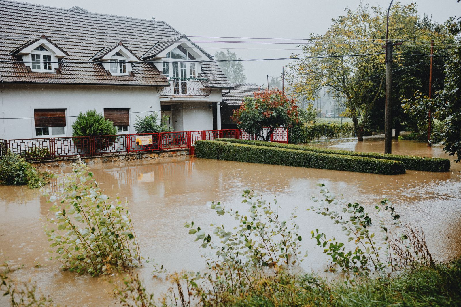
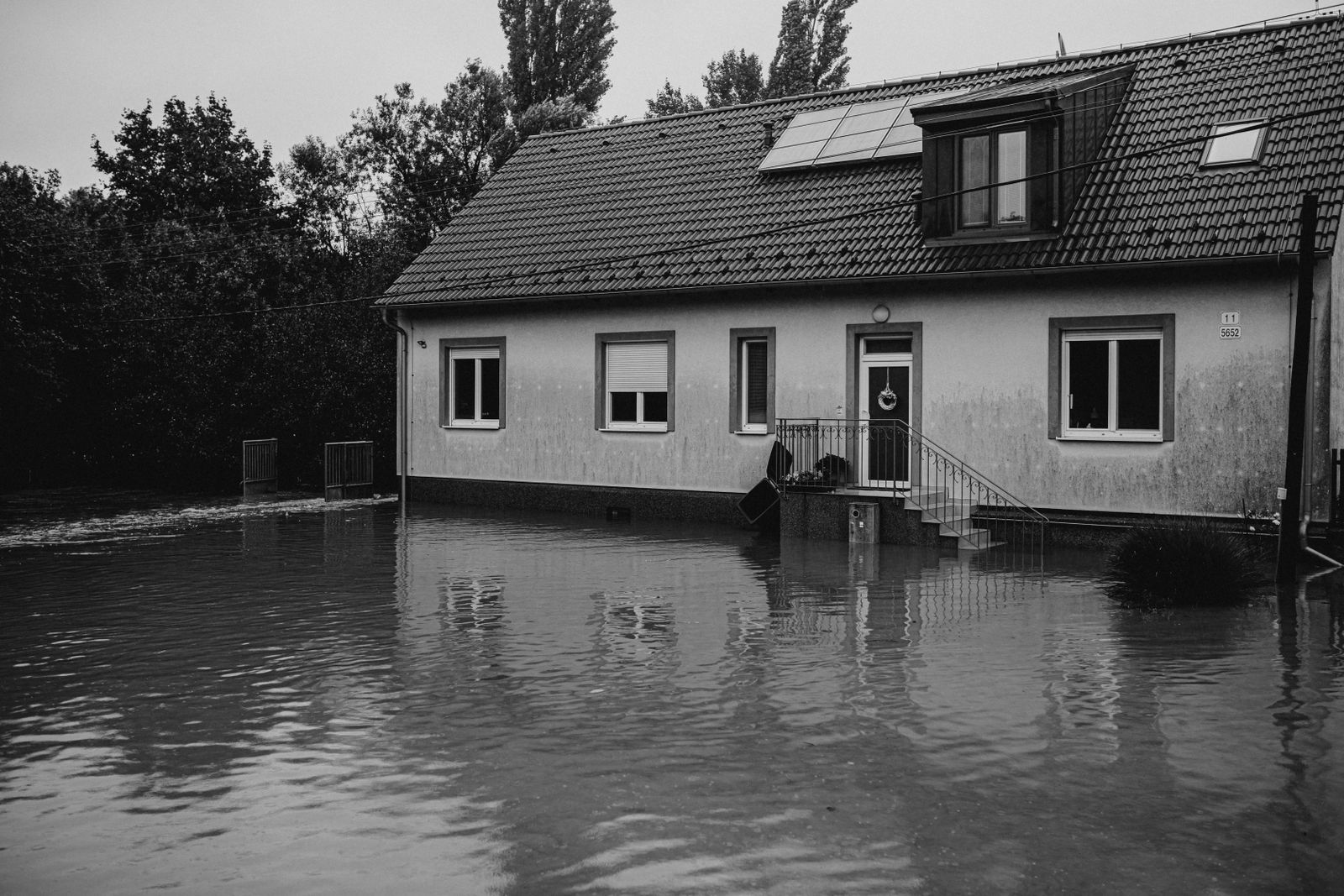
Water doesn't check a map. A house on a ridge in a low-risk state can still sit at the bottom of a watershed. A house in a high-risk state can be on high ground with a concrete roof and no trees within 100 feet.
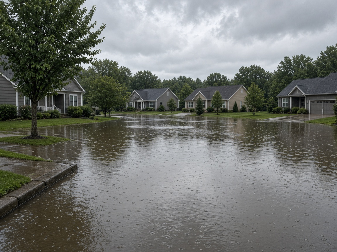
That's why FEMA flood maps are address-specific. The FEMA Flood Map Service Center lets you search by address and see the flood zone. Zone AE means a high-risk area with a base flood elevation. Zone X means moderate or minimal risk, but it doesn't mean zero. Roughly a quarter of all flood insurance claims come from outside high-risk zones, according to FEMA. If you're not sure, ask for an elevation certificate.
Wildfire risk is also parcel-level. A county can have low average risk, but your house can back up to a canyon with chamise and a single road out. USGS and state fire agencies publish wildfire hazard maps. Check those before you fall in love with the view.
How to compare two states without fooling yourself
You don't need a data science degree. You need a repeatable process. Here's the one I'd use if I were under contract and had a weekend to decide.
- Open FEMA's National Risk Index for the county. Look at the expected annual loss score and the top hazards. If the top hazard is something you can't mitigate—like a fault line under the foundation—pay attention.
- Pull the flood map for the address. Use the FEMA Flood Map Service Center. Note the zone and whether the property has a Letter of Map Amendment. If it's in a high-risk zone, get a flood insurance quote before your option period ends.
- Check the state hazard mitigation plan. Every state has one, usually on the state emergency management agency website. It lists the hazards the state takes seriously. If the plan doesn't mention a hazard you're worried about, that's a yellow flag.
- Look at NOAA's Storm Events Database. The NOAA Storm Events Database lets you search by county and date for tornadoes, floods, and severe wind. It's not a forecast, but it tells you what has happened.
- Get insurance quotes for the actual address. A quote will reveal wind deductibles, flood exclusions, wildfire surcharges, and earthquake exclusions. If the quote is surprisingly low, read the exclusions. If it's surprisingly high, ask why.
- Call the local building department. Ask about the last big flood, wildfire, or quake. Ask what code upgrades were required after it. Local knowledge beats a state ranking.
What insurance actually covers
Standard homeowners insurance typically covers wind, hail, fire, and lightning. It usually does not cover flood. Flood insurance is separate, whether through NFIP or a private carrier. Earthquake coverage is also separate and usually comes with a percentage deductible. In some coastal states, windstorm coverage is separate too.
That matters for the “safest state” question because insurance pricing is a risk signal. If every carrier in a state wants a separate wind deductible, the state isn't automatically unsafe, but the market is telling you something. If flood insurance is cheap and available, that's a good sign for that address. If you're denied coverage entirely, that's a sign to slow down.
Check with your state department of insurance for complaint ratios and carrier exits. FloodSmart explains NFIP coverage and waiting periods. Ready.gov has checklists for building a kit and making a plan, which is useful whether you're in Michigan or Florida.
If you only do one thing
Pull the FEMA flood map for the exact address before you waive your inspection or bind coverage. That's it. A state ranking is a conversation starter. The flood zone, elevation, and insurance quote are the decision. I'd rather buy a well-built house in a moderate-risk county than a cheap house in a low-risk county that sits in a drainage ditch.
Questions we get
Is there a state with zero natural disasters?
No. Every state has some combination of flood, severe storm, winter weather, drought, wildfire, earthquake, or tornado risk. The National Risk Index shows lower risk in some counties, but no state scores zero. If someone tells you otherwise, they're selling something.
Are inland states safe from hurricanes?
Not always. Hurricane remnants can drop heavy rain hundreds of miles inland, causing river flooding. Vermont, Pennsylvania, and New York have all seen major flood damage from tropical systems. The wind risk drops, but the water risk doesn't disappear.
Should I pick a state based on FEMA's National Risk Index?
Use it to compare counties, not to pick a state. Two counties in the same state can have very different risk profiles. The index is a screening tool. The address, the building code, and the insurance quote are what you actually live with.
Official sources
- FEMA National Risk Index
- FEMA Flood Map Service Center
- FloodSmart (NFIP)
- NOAA Storm Events Database
- USGS Earthquake Hazards Program
- Ready.gov Natural Disasters
- U.S. Drought Monitor
- CDC Natural Disasters and Severe Weather
Pick the address first, then the state. The safest state for you is the one where you've read the flood map, checked the insurance quote, and know what you're getting into.
About our guidance
Our guides are grounded in publicly available information from official sources such as FEMA, NOAA, USGS and Ready.gov. Information is general in nature — always verify details for your specific property and policy with official sources and your insurer.
Related guides
 PreparednessWhat the U.S. Disaster Risk Map Actually Tells YouThe National Risk Index is a useful first look, not a verdict on your house. Here’s how to read it without panicking—and what…Oct 9, 2026Read guide →
 InsuranceLender-Placed Flood Insurance: The Expensive Backup If Your Policy LapsesYour lender can force-place flood insurance if your policy lapses — and bill you for it, usually at a higher price. Here is how…Oct 15, 2026Read guide →
 InsuranceWhat Happens to Your NFIP Policy If Congress Lets the Program LapseCongress extended the NFIP through December 11, 2026. If the program lapses, existing policies stay in force and claims get paid…Oct 15, 2026Read guide →