
Local focus: Wildfires
Oxnard, California home risk profile
Ventura County · Statewide overall risk: Moderate
What this page is
Oxnard sits in Ventura County, California. This is a local briefing: it names the hazard that usually matters most here (Wildfires), then shows the statewide ratings California homeowners use to decide what official map to open. It is not a flood-zone letter or an insurance quote.
- Confirm the neighborhood with a ZIP lookup.
- Open Wildfires in California.
- Verify the address on the official maps in the sidebar, then read a matching guide.
Oxnard is a coastal farm city, and its wildfire risk surprises people who picture the beach. The hazard comes from the city's eastern and northern edges, where strawberry fields and suburbs meet the grasslands and chaparral of the foothills below the Los Padres National Forest. Santa Ana winds blast through this corridor every fall, and in 2024 the Mountain Fire tore through nearby Camarillo and Somis, destroying homes and proving how fast fire moves through Ventura County's wildland-urban edge.
Oxnard's flat coastal plain adds a twist: the same winds that drive fires also push smoke and embers deep into the city, and the agricultural dust of the Oxnard Plain means air quality is a recurring homeowner concern. The city's housing stock is heavily mid-century, with many homes carrying wood-shake roofs from an era before fire codes caught up, a known vulnerability. Earthquake risk is real here too, with offshore and onshore faults capable of strong shaking, but fire is the seasonal threat.
Replacing a wood-shake roof with Class A fire-rated materials is the single best investment for older Oxnard homes. Clear vegetation 100 feet from structures on the city's eastern edge, and install ember-resistant vent screens everywhere, since embers from a foothill fire can travel miles on Santa Ana winds. Homeowners should also map evacuation routes that avoid the wind-driven corridors, because Highway 101 and the canyon roads can clog during regional evacuations. In Oxnard, fire preparedness is not just for hillside homes.
How to read the Oxnard snapshot
Oxnard is in Ventura County, California. This page does not score individual streets. It tells you which statewide hazards matter most here, then points you to the official map for the address you care about.
The local focus is Wildfires in California. Fire is usually covered, but in high-risk ZIP codes the hard part is keeping a policy at all. Mitigation (defensible space, roof, vents) can matter as much as the premium.
Highest statewide ratings that apply in Oxnard
- Wildfires — Extreme. California's wildfire risk is rated 5 out of 5, and if you live in the foothills or near chaparral, your house is in…
- Earthquakes — Extreme. California has more earthquake risk than any other state, and it's not just the Bay Area or LA. If you're buying or…
- Drought — Extreme. If you're buying a house in California, drought is not just a summer inconvenience — it can crack your foundation,…
What to do before you buy or renew in Oxnard
- Look up the ZIP on our ZIP tool so you land on this city or the California profile.
- Open the Wildfires page and follow the official map links in the sidebar.
- Confirm preparedness guidance with California Governor's Office of Emergency Services.
Other California city briefings: Anaheim, Bakersfield, Fresno, Irvine, Long Beach, Los Angeles.
Hazard ratings for California
These are state-level scores used across Oxnard. Use them as a starting point, then verify your exact address with the official maps linked on each hazard page.
What the ratings mean
"MinimalMinorModerateMajorExtreme
Each rating is a statewide starting point, framed for a typical 30-year stay — the length of a standard mortgage. A neighborhood can look different from the state average. Always verify your address with official FEMA, NOAA or USGS maps.
Using the Oxnard profile
- Does Oxnard have its own hazard scores?
- No. Oxnard inherits California’s statewide ratings. Use this page to see which peril matters most locally (Wildfires), then verify the exact address — two streets in Ventura County can differ.
- What should I check first in Oxnard?
- Start with Wildfires in California, then a ZIP lookup and the FEMA or USGS map that matches that hazard.
- Will homeowners insurance cover Wildfires here?
- Fire is usually covered, but in high-risk ZIP codes the hard part is keeping a policy at all. Mitigation (defensible space, roof, vents) can matter as much as the premium.
Last updated: October 14, 2026. Ratings are state-wide estimates — always verify your specific address with official sources.
Guides for California homeowners
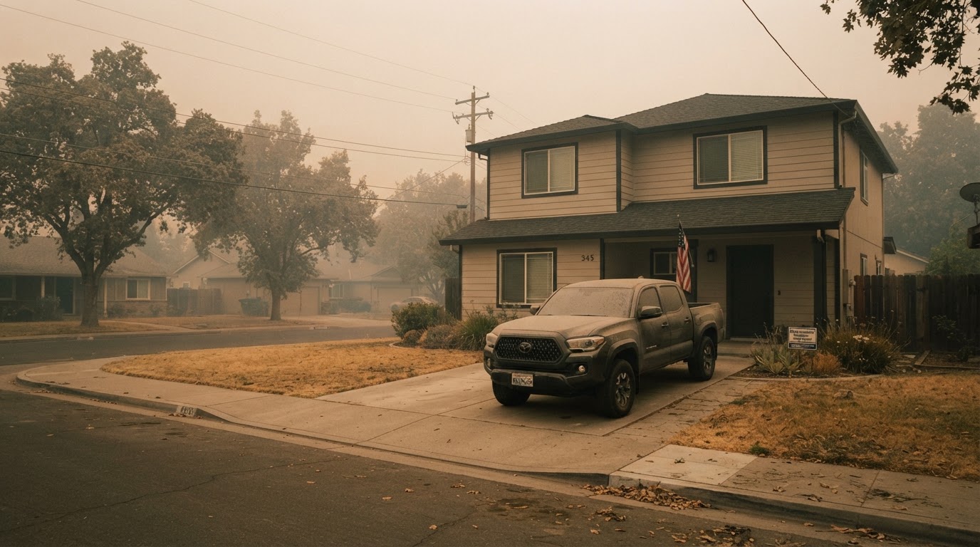 Wildfire Smoke & Air Quality: How to Protect Your HomeLearn how to protect your home and family from wildfire smoke with practical steps from FEMA, CDC, and EPA. From sealing your…Jun 21, 2026Read guide →
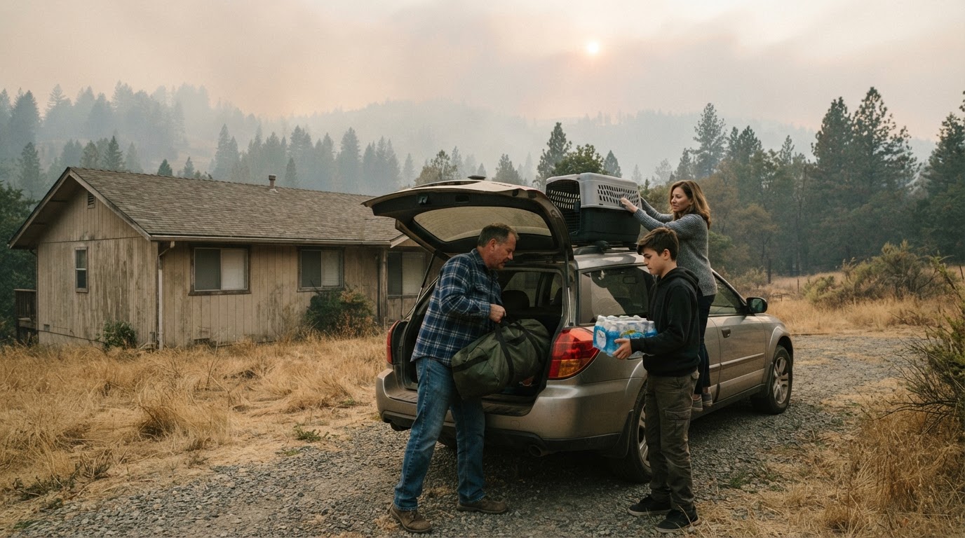 Wildfire Evacuation Prep in 60 Minutes: A Step-by-Step GuideWhen a wildfire threatens, you may have less than an hour to evacuate. Learn how to prepare a go-bag, safeguard your home, and…Jun 21, 2026Read guide →
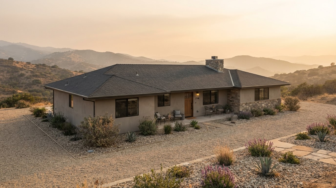 Wildfire Home Hardening: Roof, Vents, Gutters, and Deck ChecklistLearn how to harden your home against wildfire by focusing on four critical areas: roof, vents, gutters, and deck. This checklist…Jun 21, 2026Read guide →