
Southeast region · NC
North Carolina home risk profile
Overall home hazard risk: Moderate
How to use this profile
- Scan the hazard list. Anything rated Major or Extreme is the next page to open.
- Read the insurance note — flood and earthquake are usually separate policies.
- Look up your ZIP, then confirm the address on the official maps linked from each hazard page.
You’re flying into Raleigh on Friday to walk a house near the Neuse River, and the listing says 'no flood insurance required.' Before you board, pull the flood zone letter. In North Carolina, hurricanes are the top risk — a 5 out of 5 — and flooding sits just behind at 4 out of 5. This is not a maybe. It’s the reason lenders ask for elevation certificates and why a seller’s 'water in the yard' note deserves a second look. North Carolina Emergency Management publishes evacuation zones, storm surge maps, and county plans you can check before you book a return flight.
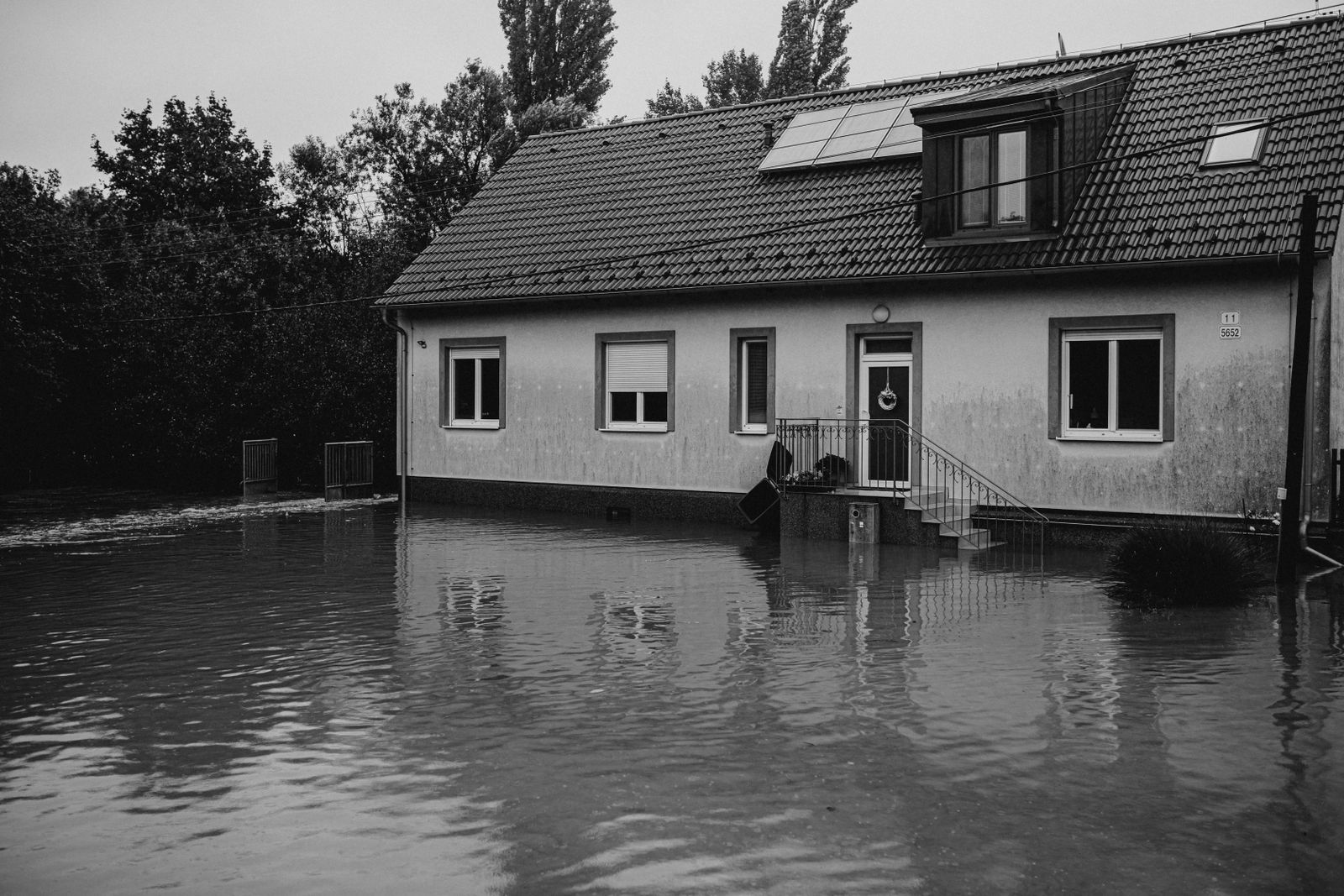
Flooding rarely needs a named hurricane. Slow tropical remnants, stalled thunderstorms, and heavy Piedmont downpours can push creeks over their banks. Severe storms also rate 4 out of 5, so hail, straight-line winds, and tornadoes belong in the same conversation. Check FEMA’s flood maps for the exact address, not the listing’s blanket statement. Call the county planning office and ask whether the parcel has flooded before. Past water matters more than a current map line.
Inland counties aren’t off the hook. Wildfires and landslides show up in the mountains and Sandhills. Extreme heat and tornadoes are real, too, though they sit lower than the coastal hurricane threat. If you’re looking near Asheville or Boone, ask about slope stability and wildfire evacuation routes. If you’re looking near Charlotte or Raleigh, ask about flash flooding and urban heat. Earthquakes and drought are lower, but they still appear in the state’s risk profile.
So what do you do first? If you only have a weekend, spend it on flood history and wind mitigation, not paint colors. Ask for a flood elevation certificate if the house is near water. Have your insurance agent quote flood and wind coverage before you remove contingencies. Check roof age, roof-to-wall connections, and the local evacuation zone. The rating is a starting point, not a verdict. A ridge house in Buncombe County carries different risk than a duplex in New Bern. Match the house to the hazard, not the state average.
Risk levels in North Carolina
Statewide scores, highest first. A neighborhood can look different from the state average — use these to decide which official map to open.
What the ratings mean
"MinimalMinorModerateMajorExtreme
Each rating is a statewide starting point, framed for a typical 30-year stay — the length of a standard mortgage. A neighborhood can look different from the state average. Always verify your address with official FEMA, NOAA or USGS maps.
Questions about North Carolina
- What is the overall home-hazard rating in North Carolina?
- North Carolina scores Moderate overall on our statewide scale. That average can hide one severe local peril — open the highest-rated hazard pages and then verify your address.
- Does a standard homeowners policy cover the main risks in North Carolina?
- Wind and flood are often different policies. A hurricane can trigger both. Check whether you have a percentage hurricane deductible.
- How should I use this North Carolina page?
- Treat it as a briefing, not a determination. Check the hazard list, open the pages rated Major or Extreme, then confirm the parcel on FEMA, NOAA or USGS maps and with North Carolina Emergency Management.
Last updated: October 8, 2026. Risk levels are state-wide estimates based on public hazard data (FEMA, NOAA, USGS) — always verify your specific address with official sources.
Guides to read with this profile
 InsuranceLender-Placed Flood Insurance: The Expensive Backup If Your Policy LapsesYour lender can force-place flood insurance if your policy lapses — and bill you for it, usually at a higher price. Here is how…Oct 15, 2026Read guide →
 InsuranceWhat Happens to Your NFIP Policy If Congress Lets the Program LapseCongress extended the NFIP through December 11, 2026. If the program lapses, existing policies stay in force and claims get paid…Oct 15, 2026Read guide →
 InsuranceExcess Flood Insurance: Coverage Above NFIP's $250,000 LimitThe NFIP caps flood coverage at $250,000 for the building and $100,000 for contents. If your home would cost more to rebuild,…Oct 15, 2026Read guide →