
Southeast region · SC
South Carolina home risk profile
Overall home hazard risk: Moderate
How to use this profile
- Scan the hazard list. Anything rated Major or Extreme is the next page to open.
- Read the insurance note — flood and earthquake are usually separate policies.
- Look up your ZIP, then confirm the address on the official maps linked from each hazard page.
You've got a closing date next month, and the house you're looking at sits on a quiet street in Beaufort. The seller's disclosure mentions a dehumidifier and a French drain. That's your first clue. South Carolina's hazard profile isn't one problem — it's a stack of them. Flooding and hurricanes both rate 4 out of 5 on the state's risk scale. Those are the two that should drive your inspection list and your insurance budget.
Flooding here isn't just a coastal issue. FEMA's flood maps show inland counties along the Pee Dee and Edisto rivers with their own high-risk zones. Hurricanes bring storm surge to Charleston and Myrtle Beach, but they also drop feet of rain in Columbia and Greenville. The South Carolina Emergency Management Division publishes evacuation zones and storm surge maps. Check your address before you fall in love with the kitchen. If you're east of I-95, flood insurance is not optional in my book — even if your lender doesn't require it.
Extreme heat and severe storms also score 4 out of 5. That matters more than you think. A house with a 15-year-old AC unit and no shade trees will cost you every July. Severe storms mean straight-line winds, hail, and frequent tornado warnings. Tornadoes themselves rate a 3, and earthquakes a 3 — the Lowcountry has a real fault history. But you can't fix a fault line. You can fix a roof.
If I had one weekend and a thousand dollars, I'd spend it on a flood elevation certificate and an inspector who knows how to spot hurricane straps. Then I'd pull the seller's insurance claims history. South Carolina is a great place to own a home. It just asks you to respect the water and the wind. Start with SCEMD's site, then call your agent. That's the briefing.
Risk levels in South Carolina
Statewide scores, highest first. A neighborhood can look different from the state average — use these to decide which official map to open.
What the ratings mean
"MinimalMinorModerateMajorExtreme
Each rating is a statewide starting point, framed for a typical 30-year stay — the length of a standard mortgage. A neighborhood can look different from the state average. Always verify your address with official FEMA, NOAA or USGS maps.
Questions about South Carolina
- What is the overall home-hazard rating in South Carolina?
- South Carolina scores Moderate overall on our statewide scale. That average can hide one severe local peril — open the highest-rated hazard pages and then verify your address.
- Does a standard homeowners policy cover the main risks in South Carolina?
- Standard homeowners insurance almost never covers flood. You need a separate NFIP or private flood policy, and it usually has a waiting period.
- How should I use this South Carolina page?
- Treat it as a briefing, not a determination. Check the hazard list, open the pages rated Major or Extreme, then confirm the parcel on FEMA, NOAA or USGS maps and with South Carolina Emergency Management Division.
Last updated: October 8, 2026. Risk levels are state-wide estimates based on public hazard data (FEMA, NOAA, USGS) — always verify your specific address with official sources.
Guides to read with this profile
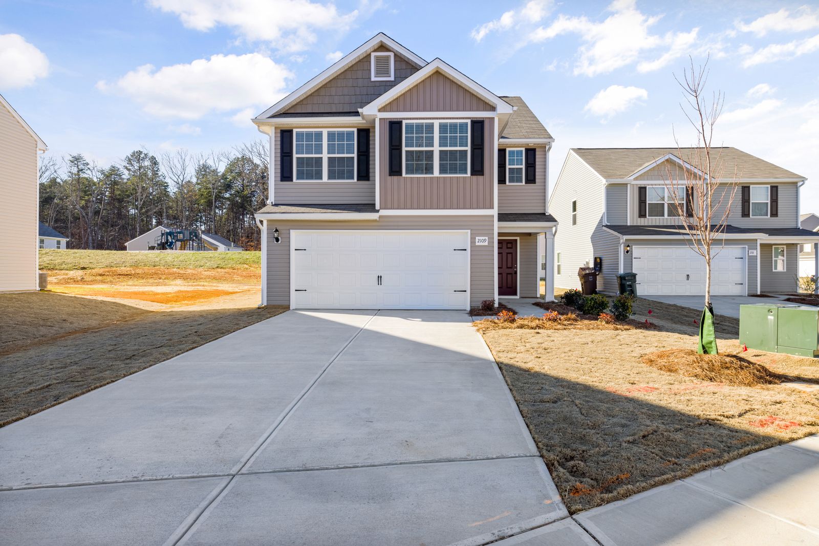 InsuranceExcess Flood Insurance: Coverage Above NFIP's $250,000 LimitThe NFIP caps flood coverage at $250,000 for the building and $100,000 for contents. If your home would cost more to rebuild,…Oct 15, 2026Read guide →
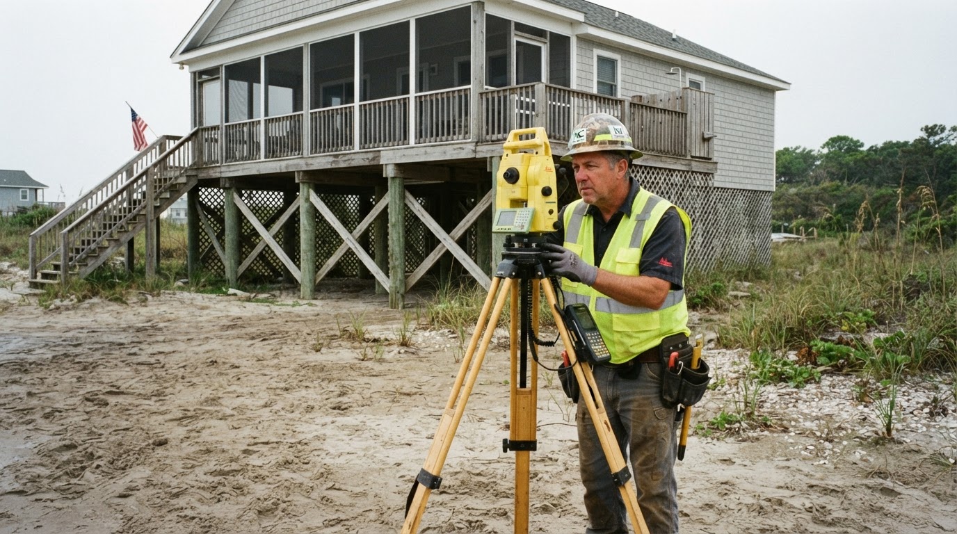 How Elevation Certificates Lower Your Flood Insurance PremiumLearn how an elevation certificate can save you hundreds on flood insurance by accurately showing your home's flood risk. This…Jun 21, 2026Read guide →
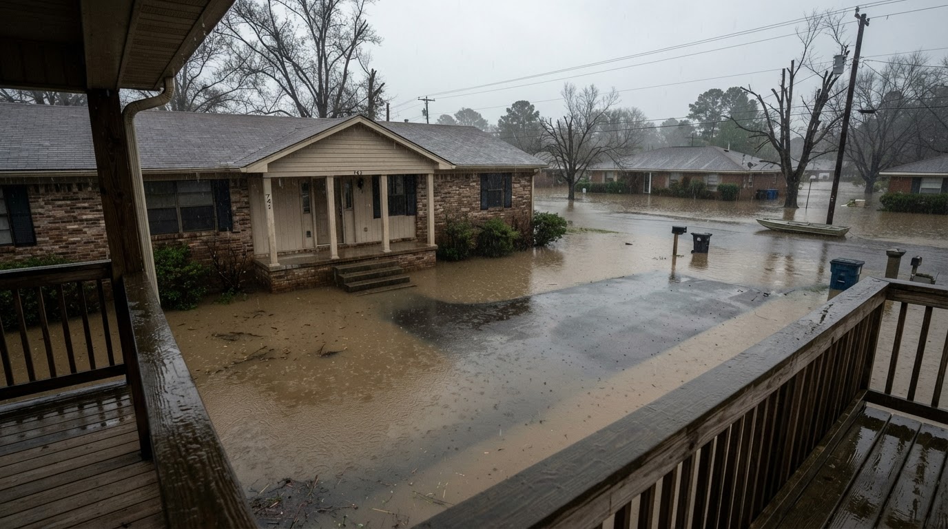 Flooded While Inside: Your Survival GuideIf your home floods while you're inside, every second counts. Learn the life-saving steps from FEMA, the CDC, and Ready.gov to…Jun 21, 2026Read guide →