
Local focus: Earthquakes
Provo, Utah home risk profile
Utah County · Statewide overall risk: Moderate
What this page is
Provo sits in Utah County, Utah. This is a local briefing: it names the hazard that usually matters most here (Earthquakes), then shows the statewide ratings Utah homeowners use to decide what official map to open. It is not a flood-zone letter or an insurance quote.
- Confirm the neighborhood with a ZIP lookup.
- Open Earthquakes in Utah.
- Verify the address on the official maps in the sidebar, then read a matching guide.
Provo sits in Utah Valley beneath the most ominous section of the Wasatch Fault: the Provo segment, which runs along the mountain front directly east of the city and is considered capable of a major earthquake. The fault is close enough that parts of east Provo sit within a mile of the trace. The 2020 Magna quake reminded the whole Wasatch Front what moderate shaking does; a Provo-segment rupture would be far stronger, right under the city's fastest-growing neighborhoods.
Utah Lake shapes the secondary hazards. The valley floor's lakebed soils amplify shaking and can liquefy, particularly on the west side near the lake, while spring snowmelt and summer cloudbursts occasionally flood low-lying areas. Provo's east bench climbs into the foothills, where wildfire in the dry oak and maple brush is a real summer threat, so the city's hillside homes can face fire and earthquake exposure on the same lot.
Retrofitting is essential for Provo's older homes near downtown and the university, many of them brick and built long before seismic codes. Newer construction on the west side benefits from modern standards but should still be checked against liquefaction maps. Homeowners in the foothills need defensible space and ember-resistant vents alongside their quake kit. When buying, ask how close the property is to the mapped fault trace, get a quote for earthquake insurance since standard policies exclude it, and keep supplies for an extended disruption.
How to read the Provo snapshot
Provo is in Utah County, Utah. This page does not score individual streets. It tells you which statewide hazards matter most here, then points you to the official map for the address you care about.
The local focus is Earthquakes in Utah. Earthquake damage is typically excluded from a standard homeowners policy. Coverage is a separate policy or endorsement.
Highest statewide ratings that apply in Provo
- Wildfires — Extreme. Utah is rated 5 out of 5 for wildfire risk, with dry fuels, drought, heat, wind, and lightning driving fires across the…
- Drought — Extreme. Utah is rated at the highest level (5 out of 5) for drought risk. Much of the state is arid or semi-arid, and water…
- Earthquakes — Major. Utah sits within the Intermountain Seismic Belt, one of the most seismically active regions in the contiguous United…
What to do before you buy or renew in Provo
- Look up the ZIP on our ZIP tool so you land on this city or the Utah profile.
- Open the Earthquakes page and follow the official map links in the sidebar.
- Confirm preparedness guidance with Utah Division of Emergency Management.
Other Utah city briefings: Salt Lake City, West Jordan, West Valley City.
Hazard ratings for Utah
These are state-level scores used across Provo. Use them as a starting point, then verify your exact address with the official maps linked on each hazard page.
What the ratings mean
"MinimalMinorModerateMajorExtreme
Each rating is a statewide starting point, framed for a typical 30-year stay — the length of a standard mortgage. A neighborhood can look different from the state average. Always verify your address with official FEMA, NOAA or USGS maps.
Using the Provo profile
- Does Provo have its own hazard scores?
- No. Provo inherits Utah’s statewide ratings. Use this page to see which peril matters most locally (Earthquakes), then verify the exact address — two streets in Utah County can differ.
- What should I check first in Provo?
- Start with Earthquakes in Utah, then a ZIP lookup and the FEMA or USGS map that matches that hazard.
- Will homeowners insurance cover Earthquakes here?
- Earthquake damage is typically excluded from a standard homeowners policy. Coverage is a separate policy or endorsement.
Last updated: October 14, 2026. Ratings are state-wide estimates — always verify your specific address with official sources.
Guides for Utah homeowners
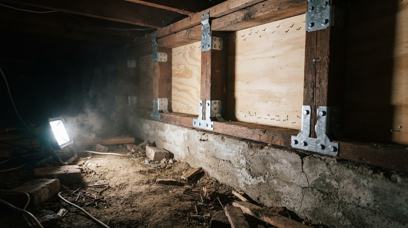 Cripple Wall Retrofit: Strengthen Your Home's Earthquake DefensesLearn how a cripple wall retrofit can prevent your older home from collapsing in an earthquake. Understand the basics, why it…Jun 21, 2026Read guide →
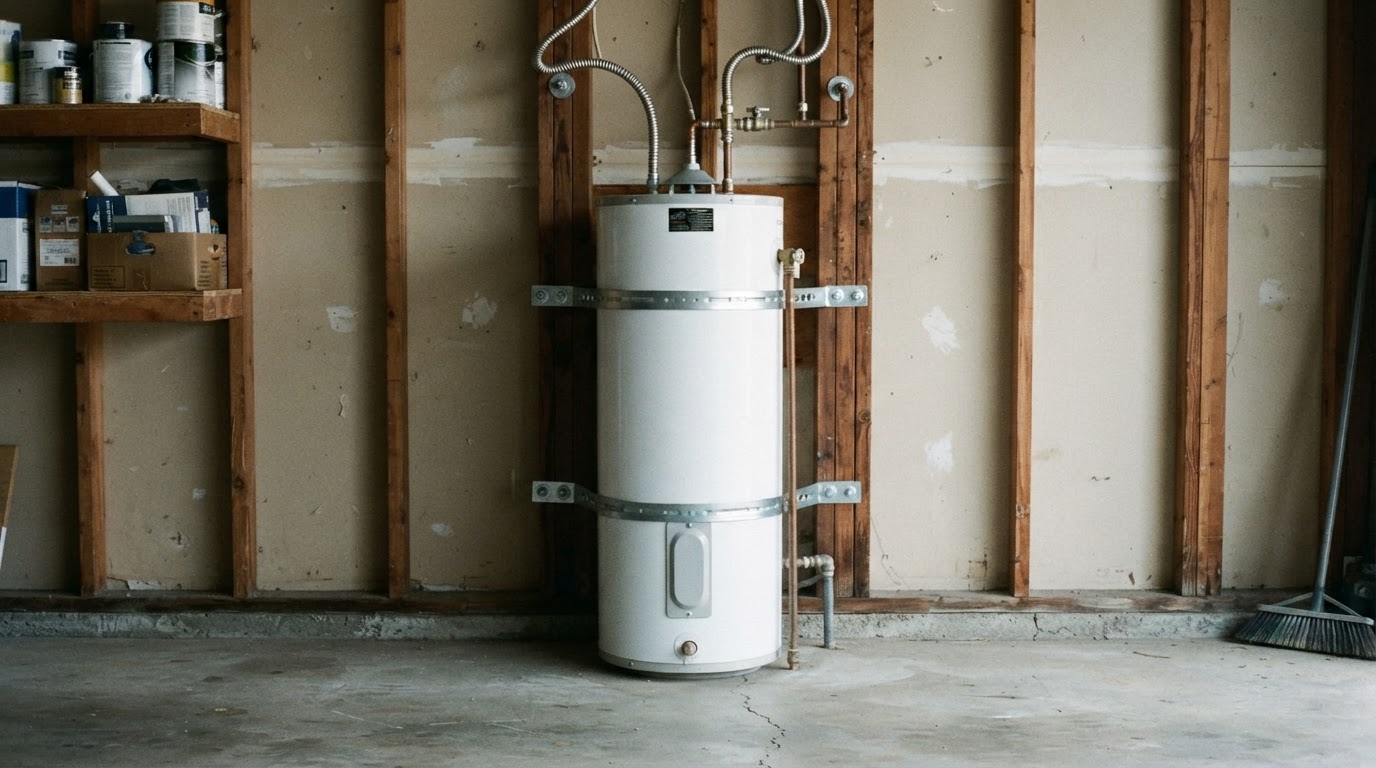 How to Strap Your Water Heater for Earthquake SafetyLearn why securing your water heater is critical after an earthquake and get step-by-step instructions to strap it properly,…Jun 21, 2026Read guide →
 Earthquake Drills for Kids and Seniors: Drop, Cover, Hold OnLearn how to practice 'Drop, Cover, and Hold On' with children and older adults. This guide provides step-by-step drills,…Jun 21, 2026Read guide →