
Local focus: Severe Storms
Arlington, Virginia home risk profile
Arlington County · Statewide overall risk: Moderate
What this page is
Arlington sits in Arlington County, Virginia. This is a local briefing: it names the hazard that usually matters most here (Severe Storms), then shows the statewide ratings Virginia homeowners use to decide what official map to open. It is not a flood-zone letter or an insurance quote.
- Confirm the neighborhood with a ZIP lookup.
- Open Severe Storms in Virginia.
- Verify the address on the official maps in the sidebar, then read a matching guide.
Arlington is one of the densest urban counties in America, pressed against the Potomac River across from Washington — and its hazards are the urban kind: intense thunderstorms, flash flooding, and wind damage amplified by density. The county sits in the mid-Atlantic severe weather corridor, where powerful summer thunderstorms and occasional tropical systems bring damaging straight-line winds, large hail, and torrential downpours. Tornadoes are less common than in the Deep South, but the region's storms can spin up quick twisters with little warning.
Flash flooding is the most destructive recurring hazard. Arlington's landscape is overwhelmingly pavement and rooftops, so intense rain becomes runoff almost instantly, overwhelming storm drains and turning low streets, underpasses, and basements into flood zones within minutes. The county's small streams flash-flood through densely built corridors, and the Potomac can back water into the lowest areas during major regional floods. The mature tree canopy in the older neighborhoods adds wind damage: large oaks and maples fall on houses, cars, and power lines during severe storms.
Homeowners should treat storm-drain capacity as personal business: keep gutters and area drains clear, grade soil away from the foundation, and consider a sump pump with battery backup if the basement has ever taken water. Trim trees away from the house, secure outdoor items before forecast severe weather, and know whether your block sits in a stream's flood path — in Arlington, the most expensive floods come from fifteen minutes of extreme rain, not from the river.
How to read the Arlington snapshot
Arlington is in Arlington County, Virginia. This page does not score individual streets. It tells you which statewide hazards matter most here, then points you to the official map for the address you care about.
The local focus is Severe Storms in Virginia. Hail and wind are common claim types. Keep a dated photo of the roof. Flooding from the same thunderstorm is a different policy.
Highest statewide ratings that apply in Arlington
- Flooding — Major. Flooding is Virginia's most frequent and most costly natural hazard, rated 4 out of 5 by HomeRiskMap. Risks range from…
- Hurricanes — Moderate. Virginia faces hurricane and tropical storm risks, especially along its Atlantic coast, Chesapeake Bay, and tidal…
- Winter Storms — Moderate. Winter storms in Virginia bring snow, ice, and freezing rain, with impacts varying from heavy snow in the western…
What to do before you buy or renew in Arlington
- Look up the ZIP on our ZIP tool so you land on this city or the Virginia profile.
- Open the Severe Storms page and follow the official map links in the sidebar.
- Confirm preparedness guidance with Virginia Department of Emergency Management.
Other Virginia city briefings: Chesapeake, Norfolk, Richmond, Virginia Beach.
Hazard ratings for Virginia
These are state-level scores used across Arlington. Use them as a starting point, then verify your exact address with the official maps linked on each hazard page.
What the ratings mean
"MinimalMinorModerateMajorExtreme
Each rating is a statewide starting point, framed for a typical 30-year stay — the length of a standard mortgage. A neighborhood can look different from the state average. Always verify your address with official FEMA, NOAA or USGS maps.
Using the Arlington profile
- Does Arlington have its own hazard scores?
- No. Arlington inherits Virginia’s statewide ratings. Use this page to see which peril matters most locally (Severe Storms), then verify the exact address — two streets in Arlington County can differ.
- What should I check first in Arlington?
- Start with Severe Storms in Virginia, then a ZIP lookup and the FEMA or USGS map that matches that hazard.
- Will homeowners insurance cover Severe Storms here?
- Hail and wind are common claim types. Keep a dated photo of the roof. Flooding from the same thunderstorm is a different policy.
Last updated: October 14, 2026. Ratings are state-wide estimates — always verify your specific address with official sources.
Guides for Virginia homeowners
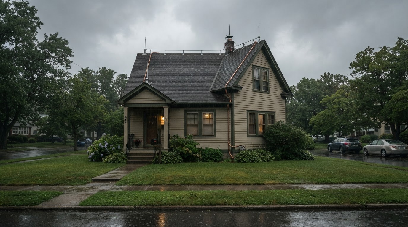 Lightning Protection for Homes: Myths and FactsLightning strikes cause billions in property damage each year. Learn common myths and evidence-based facts to protect your home…Jun 21, 2026Read guide →
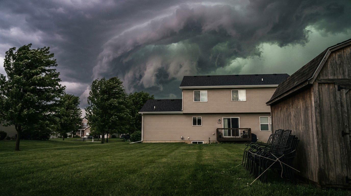 Storm-Proof Your Yard: Prep for Severe Thunderstorm SeasonLearn how to secure loose items, trim trees, and improve drainage to protect your property from high winds, hail, and heavy…Jun 21, 2026Read guide →
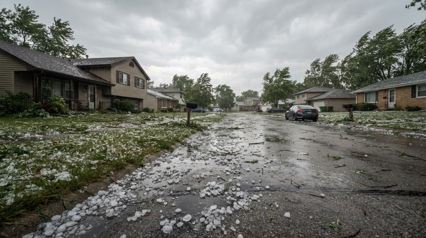 Hail Damage to Your Roof: Inspection Steps and Insurance TipsLearn how to inspect your roof for hail damage and navigate the insurance claim process with confidence. This guide provides…Jun 21, 2026Read guide →