
Atmospheric Rivers and Your California Home: El Niño Winter Prep
10 min read
On this page
- What Is an Atmospheric River?
- The AR1–AR5 Scale: How Forecasters Rate These Storms
- Why This Winter Is Different: NOAA's 2026–2027 Outlook
- Know Your Home's Specific Risk Before the First Storm
- The Dry-Weather Checklist: Do These Now
- Flood Insurance: The 30-Day Clock Is Already Ticking
- When an AR4 or AR5 Is Forecast: The 72-Hour Plan
- After the Storm: Protect the Claim and the House
- Frequently Asked Questions
- Official Sources
NOAA favors a wetter California winter in 2026-2027 as a strong El Niño steers atmospheric rivers ashore. Here is the AR1-AR5 scale, the dry-weather checklist, and the 30-day flood insurance clock.
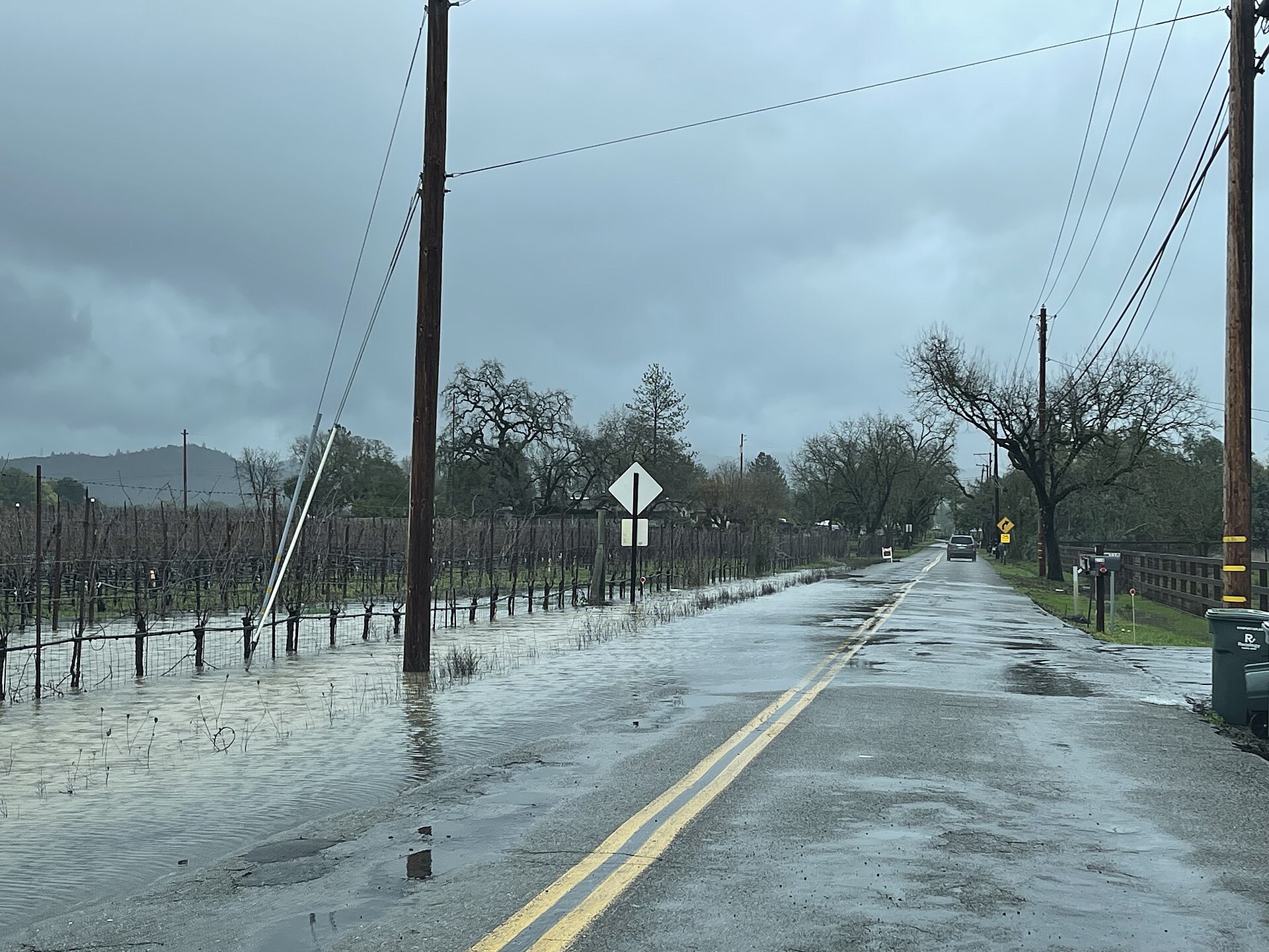
California gets much of its winter water from atmospheric rivers — long, narrow corridors of water vapor that stream in from the Pacific and can drop days of rain in a matter of hours. In a normal winter they refill reservoirs. In a strong El Niño winter like the one NOAA is forecasting for 2026–2027, they can also arrive back-to-back, saturate hillsides, and flood homes that have never flooded before. This guide explains what an atmospheric river actually is, how forecasters rate them from AR1 to AR5, why this winter deserves extra attention, and — most importantly — the concrete steps you can take now, while the ground is still dry, to protect your California home.
What Is an Atmospheric River?
An atmospheric river (AR) is a long, narrow band of concentrated moisture in the atmosphere that transports water vapor from the tropics toward the poles. When that band makes landfall on the West Coast and is forced upward by coastal ranges and the Sierra Nevada, the vapor condenses and falls as heavy rain or snow.
Key facts every California homeowner should know
- Atmospheric rivers are a normal, necessary part of California's water cycle — the problem is not that they exist, but how strong they are and how many arrive in a row.
- The best-known example is the "Pineapple Express," an atmospheric river that draws moisture from the Pacific near Hawaii and aims it at California.
- A single strong event can be beneficial (refilling reservoirs and snowpack) and hazardous (flooding, mudslides, debris flows) at the same time.
- Warm atmospheric rivers are especially dangerous: rain falling on existing snowpack — a "rain-on-snow" event — can release large volumes of water at once, and rain on recent wildfire burn scars can trigger fast-moving debris flows.
For the statewide picture — including how flood risk varies by region — see our California home risk guide and the flood risk overview.
The AR1–AR5 Scale: How Forecasters Rate These Storms
Since 2019, atmospheric rivers have had their own rating scale, developed by researchers at the Center for Western Weather and Water Extremes (CW3E) at Scripps Institution of Oceanography in collaboration with the National Weather Service. The scale ranks an event by how much water vapor it transports and how long it stalls over one location — duration matters, because a moderate storm that parks over your watershed for two days can flood more than a stronger one that moves through quickly.
- AR1 (weak): Primarily beneficial — modest, helpful rainfall.
- AR2 (moderate): Mostly beneficial, but somewhat hazardous — several inches of rain that can replenish reservoirs.
- AR3 (strong): A balance of beneficial and hazardous — heavy rain that can push rivers toward flood stage.
- AR4 (extreme): Mostly hazardous — major rainfall totals, multiple rivers reaching flood stage, mudslide risk.
- AR5 (exceptional): Primarily hazardous — prolonged, extreme precipitation with catastrophic flooding potential.
What the rating means for your decisions
An AR1 or AR2 headline is usually a "check the gutters" storm. An AR3 forecast deserves a weekend of preparation. An AR4 or AR5 forecast — especially the second or third storm in a sequence, when soils are already saturated — is when you should expect road flooding, creek rises, possible evacuation orders near burn scars and steep slopes, and should have your go-bag and documents ready.
Why This Winter Is Different: NOAA's 2026–2027 Outlook
NOAA's U.S. Winter Outlook, released October 15, 2026, favors wetter-than-average conditions from California across the southern tier to Florida for December 2026 through February 2027, driven by a strengthening El Niño that NOAA's Climate Prediction Center describes as strong to very strong and likely to persist into early 2027. California state agencies are treating the season seriously: the Governor's Office of Emergency Services (Cal OES) began coordinated statewide preparation ahead of the storms, and California Flood Preparedness Week runs October 17–24, 2026 — this week.
What El Niño does — and does not — guarantee
- El Niño shifts the odds: it steers the Pacific storm track farther south, raising the chance of repeated atmospheric river landfalls in California. It does not schedule individual storms.
- Every El Niño is different. Some strong events have produced destructive California flooding; others have under-delivered rain. Plan for the risk, not a specific forecast.
- The danger pattern is sequences: the first storm saturates soil, the second runs off instead of soaking in, and the third floods. Mid-season, not the first rain, is typically when homes get wet.
For the national picture, read our guide to El Niño winter 2026–2027 flood risk by state.
Know Your Home's Specific Risk Before the First Storm
Check the flood map — then look beyond it
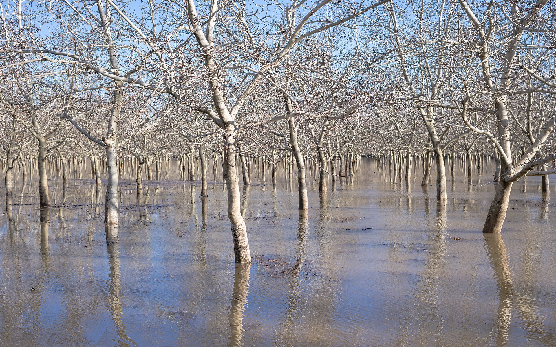
Start with FEMA's Flood Map Service Center to see your home's flood zone, and check whether a map update is in progress for your area — our walkthrough of FEMA flood map updates and 2027 zone changes shows how. But treat the map as a floor, not a ceiling: homes outside high-risk zones flood every California winter from overwhelmed storm drains, small creeks, and hillside runoff that no map captures street-by-street.
Walk your property with a storm in mind
- Where does water pool after a normal rain? That is where it will enter first in a big one.
- Are you downhill from a slope, a retaining wall, or a recently burned area? After wildfire, soil can repel water and debris flows can start within minutes of intense rain — see our guide to debris-flow risk after wildfires.
- Do street storm drains near your home clog with leaves? Note them now; report blocked drains to your city before storm season, not during it.
- Check your address on Cal OES's MyHazards tool for flood, landslide, and other local hazards.
The Dry-Weather Checklist: Do These Now
Almost everything that protects a home in an atmospheric river is cheap or free — but it has to happen before the rain starts.
Roof, gutters, and drainage
- Clean gutters and downspouts, and confirm downspouts discharge well away from the foundation — not into a planting bed against the wall.
- Look for cracked roof tiles, lifted shingles, and failed flashing around chimneys and vents; wind-driven AR rain finds every gap.
- Clear yard drains, driveway channels, and culverts of leaves and sediment. Test them with a hose.
- Regrade or add soil where the ground slopes toward the house; even a small swale that redirects runoff helps. Our gutters, grading, and sump pump guide covers the details.
Garage, ground floor, and belongings
- Raise anything stored on garage and ground floors — boxes, appliances, keepsakes — onto pallets, shelves, or blocks. A few inches of water ruins what touches the floor, not what sits above it.
- Move important documents (insurance policies, IDs, property records) to a waterproof container or scan them to cloud storage.
- Photograph or video every room and major item now; those images are the backbone of an insurance claim later.
- Know how to shut off your home's water, gas, and electricity before you need to do it in the dark.
Sandbags — done right
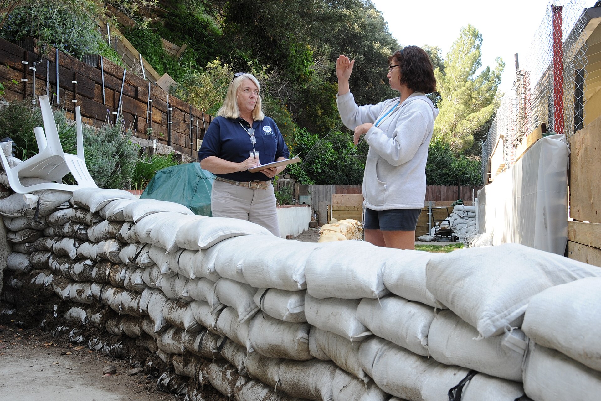
Many California cities and counties provide free sandbags through fire stations or public works yards during storm season; check your local program while supplies are stocked. Sandbags can divert shallow moving water away from doorways and garage entries, but they do not waterproof a house — for the honest comparison, read sandbags vs. flood barriers before you spend money.
Flood Insurance: The 30-Day Clock Is Already Ticking
This is the step homeowners most often leave too late:
- Standard homeowners insurance does not cover flood damage. Flood coverage is a separate policy, most commonly through the National Flood Insurance Program (NFIP).
- A new NFIP policy typically takes 30 days to go into effect. A policy bought when a storm is already in the forecast will not cover that storm.
- You do not need to live in a high-risk flood zone to buy NFIP coverage, and homes outside the mapped high-risk zones are often cheaper to insure.
- Ask about contents coverage separately — building coverage alone does not replace your belongings.
Not sure what to ask an agent? Start with our 12 questions to ask before buying flood insurance. Given the October outlook, a policy started now is in force well before the December–February peak the outlook covers.
When an AR4 or AR5 Is Forecast: The 72-Hour Plan
Three days out
- Follow your local National Weather Service office and county alert system; sign up for local emergency alerts if you have not already.
- Top off fuel, charge phones and battery packs, and check flashlights.
- Re-clear gutters and drains if leaves have fallen since your first pass.
One day out
- Move vehicles out of low spots, underground garages, and areas that flooded in past storms.
- Bring in or secure outdoor furniture and anything that can float or blow into a drain.
- Place sandbags at vulnerable doorways and garage entries if your home has taken water before.
- Pack a go-bag: medications, documents, chargers, water, food, pet supplies.
During the storm
- Never drive, walk, or ride through floodwater. Just a foot of moving water can sweep away a vehicle, and the road under the water may be gone.
- Stay away from creeks, storm drains, and culverts — banks collapse and water rises faster than people expect.
- If officials order an evacuation for your area — especially below burn scars or steep slopes — leave immediately. Debris flows give minutes of warning, not hours.
- Turn off utilities only if you can do so safely and without standing in water.
After the Storm: Protect the Claim and the House
- Do not re-enter a flooded home until officials say it is safe; watch for structural damage, gas leaks, and electrical hazards.
- Document everything before you clean up: photos and video of water lines, damaged items, and the exterior.
- Separate damaged from undamaged property, keep receipts for any emergency repairs and temporary housing, and contact your insurer promptly.
- Be cautious with saturated slopes after the rain stops — landslides and debris flows can occur hours after the heaviest rain ends.
- Rinse mud from the home as soon as it is safe, ventilate, and address mold quickly; standing moisture becomes a health problem within days.
Frequently Asked Questions
Is the Pineapple Express the same as an atmospheric river?
The Pineapple Express is one famous kind of atmospheric river — the name refers to its moisture source near Hawaii. Many atmospheric rivers that hit California do not come from Hawaii, but they work the same way: a narrow corridor of vapor that becomes heavy precipitation at landfall.
Does a strong El Niño guarantee my home will flood?
No. El Niño raises the odds of a wetter California winter and of repeated atmospheric rivers, but flooding depends on your home's location, drainage, and how storms actually sequence. The right response is preparation — drainage, belongings raised, insurance in force — not certainty in either direction.
Can I still buy flood insurance now?
Yes, and now is exactly when to do it: a new NFIP policy typically has a 30-day waiting period, so coverage started in the fall is active for the core winter months. Talk to your insurance agent or start at FloodSmart.gov.
My home is not in a FEMA flood zone. Do I still need to prepare?
Yes. Storm-drain flooding, hillside runoff, and creek overflow regularly damage California homes outside mapped high-risk zones, and flood insurance is usually less expensive outside those zones. The map describes one kind of risk; your property walk-through describes the rest.
What is the single most useful thing I can do this weekend?
Clear and test your drainage — gutters, downspouts, yard drains — and raise everything stored on the garage and ground floors. Those two jobs cost almost nothing and address the way most homes actually take water in an atmospheric river.
Official Sources
- USGS — New scale to characterize strength and impacts of atmospheric river storms (the AR1–AR5 scale)
- NOAA / weather.gov — National Weather Service forecasts and alerts
- Ready.gov — Flood preparedness guidance
- FEMA — Flood insurance and the NFIP
- FloodSmart — FloodSmart.gov
- California Department of Water Resources — California Flood Preparedness Week, October 17–24, 2026
- Cal OES News — Storm season safety: wet weather defense
Forecasts change. For decisions during a storm, follow your local National Weather Service office and county emergency officials — not any single article, including this one.
About our guidance
Our guides are grounded in publicly available information from official sources such as FEMA, NOAA, USGS and Ready.gov. Information is general in nature — always verify details for your specific property and policy with official sources and your insurer.
Related guides
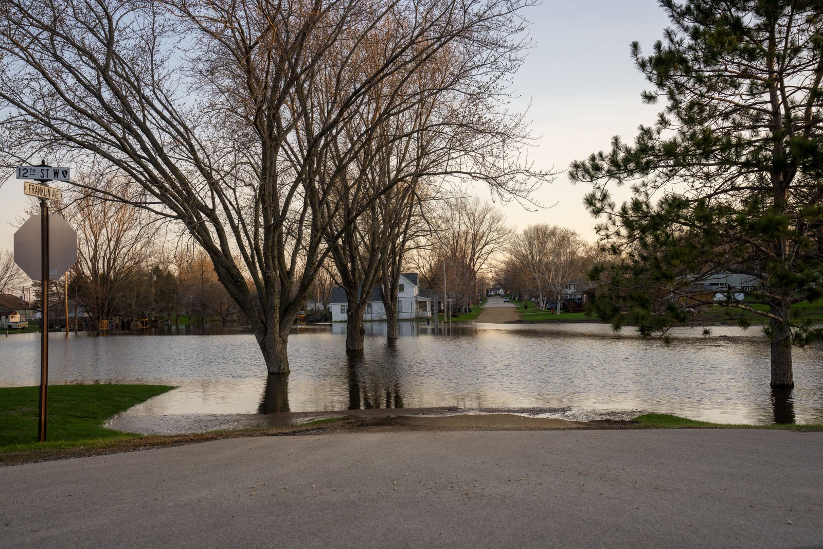 Flood RiskFEMA Flood Map Updates: How to Check If Your Zone Changes in 2027FEMA is redrawing flood maps across the country, and some take effect in 2027. Here is how to check your effective and…Oct 17, 2026Read guide →
 InsuranceCondo Flood Insurance: NFIP's RCBAP and What Unit Owners Still NeedYour association's RCBAP covers the whole condo building — but not your belongings. Learn the $250,000-per-unit limit, the 80%…Oct 17, 2026Read guide →
 Insurance12 Questions to Ask Before Buying Flood Insurance This FallFall is flood-insurance shopping season, and two quotes with similar prices can cover very different things. These 12 questions…Oct 16, 2026Read guide →