
Local focus: Wildfires
Fort Collins, Colorado home risk profile
Larimer County · Statewide overall risk: Moderate
What this page is
Fort Collins sits in Larimer County, Colorado. This is a local briefing: it names the hazard that usually matters most here (Wildfires), then shows the statewide ratings Colorado homeowners use to decide what official map to open. It is not a flood-zone letter or an insurance quote.
- Confirm the neighborhood with a ZIP lookup.
- Open Wildfires in Colorado.
- Verify the address on the official maps in the sidebar, then read a matching guide.
Fort Collins sits where the Great Plains meet the Rocky Mountain foothills, and that meeting line is wildfire country. The 2012 High Park Fire burned for weeks in the mountains just west of town, filling the city with smoke and forcing evacuations in the foothill subdivisions. Ponderosa pine forests climb right to the edge of west-side neighborhoods, and the Cache la Poudre canyon funnels both wind and fire toward town.
The foothills are the exposure zone. Homes in and around Horsetooth Reservoir, the Rist Canyon area and the western ridges sit among continuous fuels with limited evacuation routes, and some canyons have a single road out. Post-fire flooding is the underappreciated second act: burned slopes shed water violently, and the 2013 Front Range floods showed how debris flows can devastate communities below burn scars. Fort Collins also carries a flash-flood history of its own, including the deadly 1997 Spring Creek flood.
Homeowners on the west side should treat defensible space as mandatory, use fire-resistant building materials, and keep a go-bag packed from June through October. Know your evacuation route and have a backup, and check whether the home sits below a burn scar where debris flows are possible, since that risk persists for years after a fire. Insurance is worth reviewing annually: wildfire terms in foothill Colorado have been tightening, and underinsurance after a total loss is the mistake that haunts fire survivors most.
How to read the Fort Collins snapshot
Fort Collins is in Larimer County, Colorado. This page does not score individual streets. It tells you which statewide hazards matter most here, then points you to the official map for the address you care about.
The local focus is Wildfires in Colorado. Fire is usually covered, but in high-risk ZIP codes the hard part is keeping a policy at all. Mitigation (defensible space, roof, vents) can matter as much as the premium.
Highest statewide ratings that apply in Fort Collins
- Wildfires — Extreme. Colorado has the highest wildfire risk rating in the country, and it’s not just mountain towns — the Front Range…
- Winter Storms — Major. Colorado winter storms can dump feet of snow on the Front Range and then freeze your pipes overnight. The statewide…
- Drought — Major. Colorado gets rated 4 out of 5 for drought risk, and the reasons are mostly about where the water comes from —…
What to do before you buy or renew in Fort Collins
- Look up the ZIP on our ZIP tool so you land on this city or the Colorado profile.
- Open the Wildfires page and follow the official map links in the sidebar.
- Confirm preparedness guidance with Colorado Division of Homeland Security and Emergency Management.
Other Colorado city briefings: Aurora, Colorado Springs, Denver, Lakewood.
Hazard ratings for Colorado
These are state-level scores used across Fort Collins. Use them as a starting point, then verify your exact address with the official maps linked on each hazard page.
What the ratings mean
"MinimalMinorModerateMajorExtreme
Each rating is a statewide starting point, framed for a typical 30-year stay — the length of a standard mortgage. A neighborhood can look different from the state average. Always verify your address with official FEMA, NOAA or USGS maps.
Using the Fort Collins profile
- Does Fort Collins have its own hazard scores?
- No. Fort Collins inherits Colorado’s statewide ratings. Use this page to see which peril matters most locally (Wildfires), then verify the exact address — two streets in Larimer County can differ.
- What should I check first in Fort Collins?
- Start with Wildfires in Colorado, then a ZIP lookup and the FEMA or USGS map that matches that hazard.
- Will homeowners insurance cover Wildfires here?
- Fire is usually covered, but in high-risk ZIP codes the hard part is keeping a policy at all. Mitigation (defensible space, roof, vents) can matter as much as the premium.
Last updated: October 14, 2026. Ratings are state-wide estimates — always verify your specific address with official sources.
Guides for Colorado homeowners
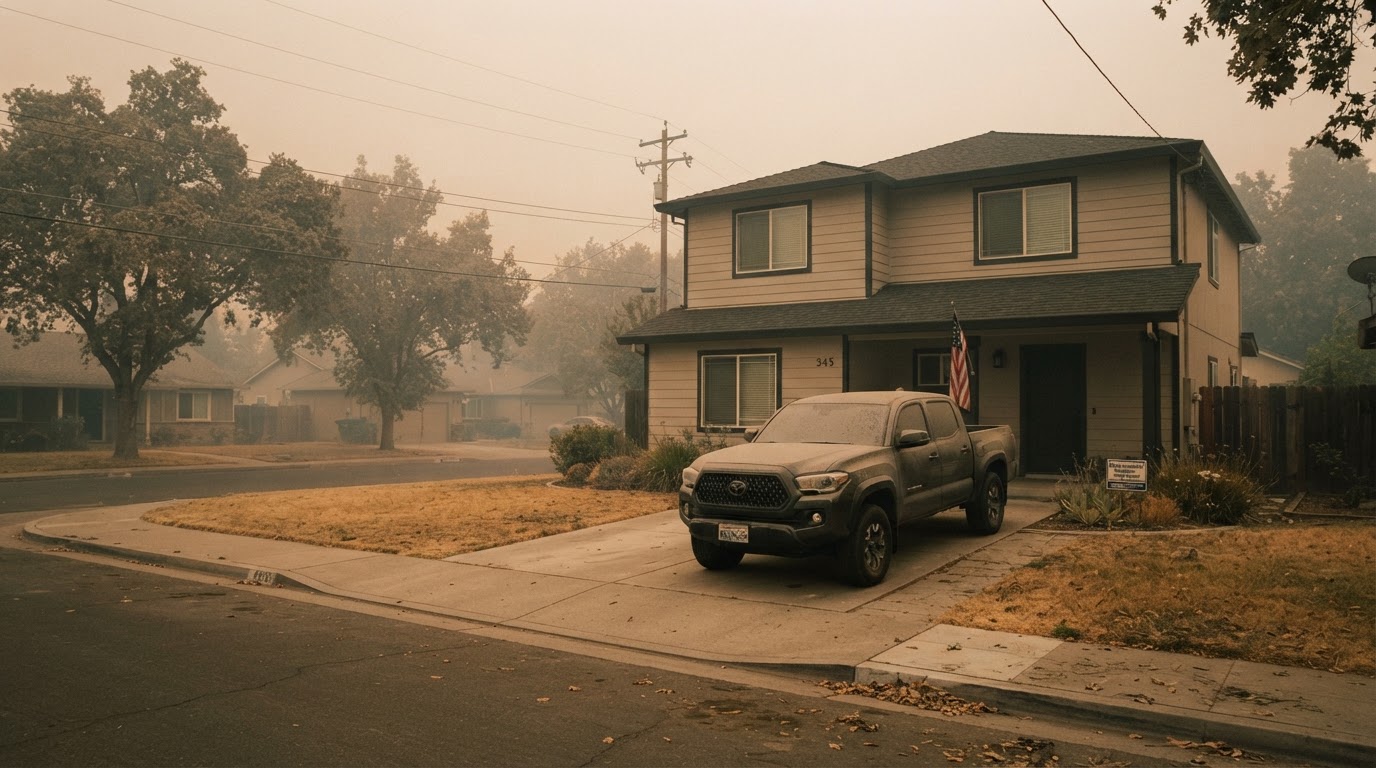 Wildfire Smoke & Air Quality: How to Protect Your HomeLearn how to protect your home and family from wildfire smoke with practical steps from FEMA, CDC, and EPA. From sealing your…Jun 21, 2026Read guide →
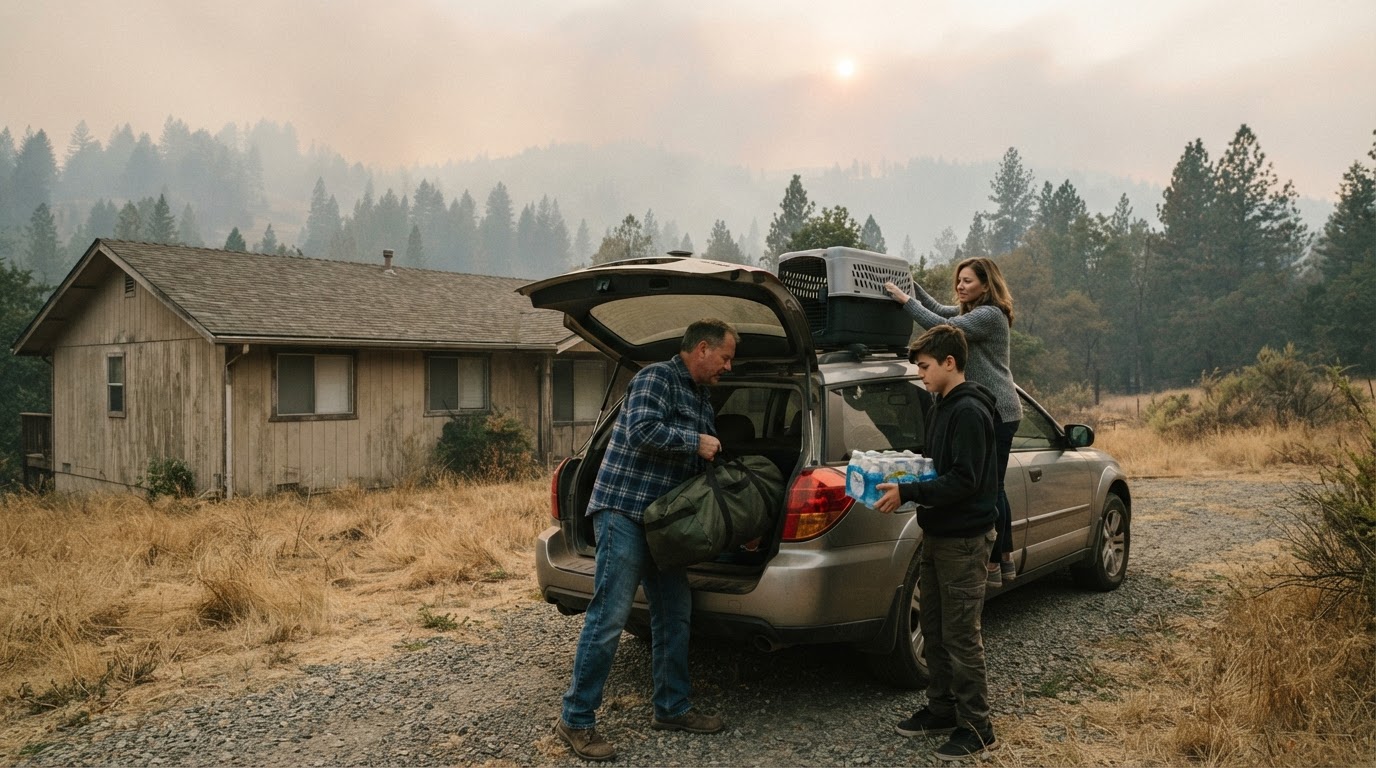 Wildfire Evacuation Prep in 60 Minutes: A Step-by-Step GuideWhen a wildfire threatens, you may have less than an hour to evacuate. Learn how to prepare a go-bag, safeguard your home, and…Jun 21, 2026Read guide →
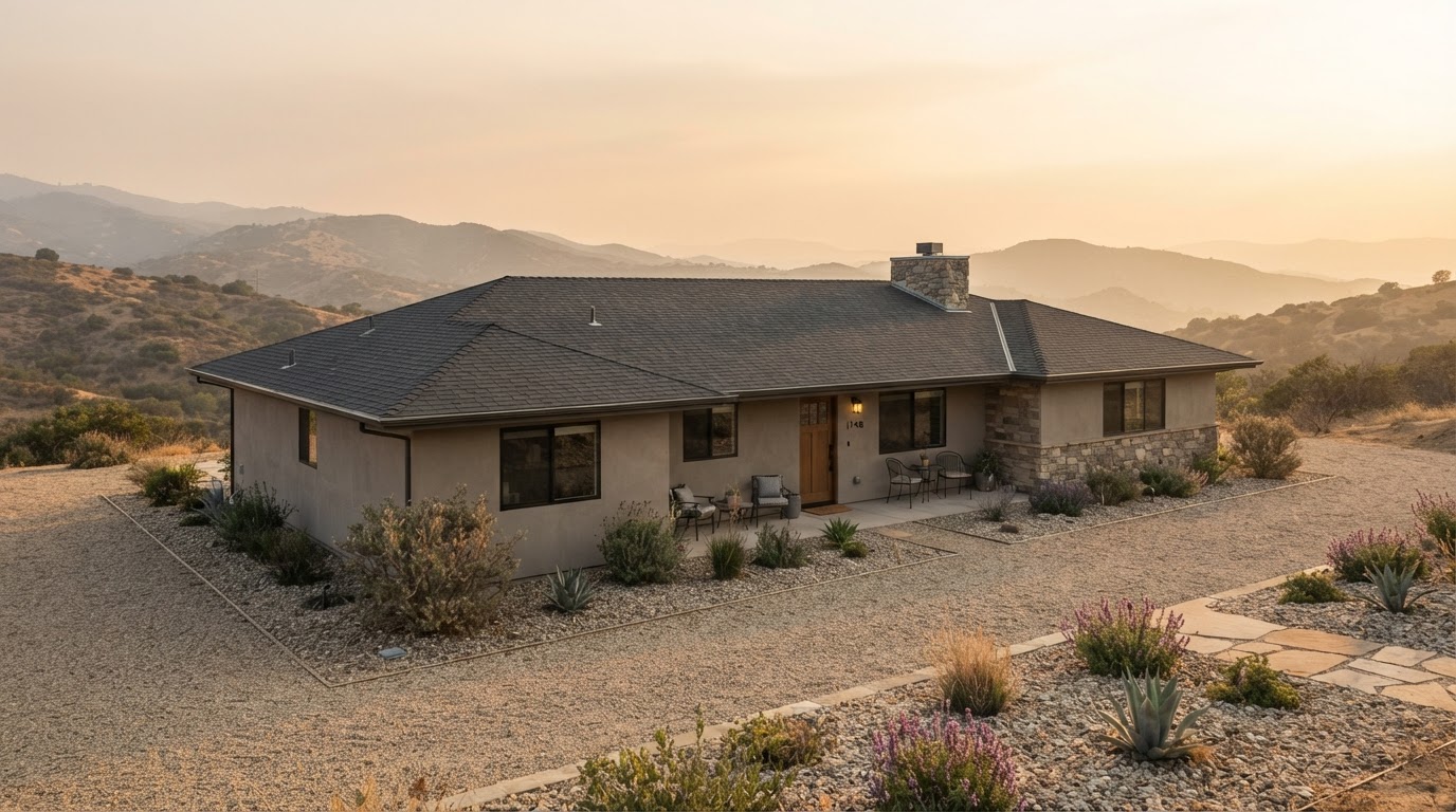 Wildfire Home Hardening: Roof, Vents, Gutters, and Deck ChecklistLearn how to harden your home against wildfire by focusing on four critical areas: roof, vents, gutters, and deck. This checklist…Jun 21, 2026Read guide →