
Northeast region · DC
District of Columbia home risk profile
Overall home hazard risk: Minor
How to use this profile
- Scan the hazard list. Anything rated Major or Extreme is the next page to open.
- Read the insurance note — flood and earthquake are usually separate policies.
- Look up your ZIP, then confirm the address on the official maps linked from each hazard page.
You’re two weeks from closing on a rowhouse in Shaw, and your inspector just found a hairline crack in the basement wall. Welcome to the District of Columbia, where the biggest home hazards aren’t earthquakes or wildfires—they’re water and heat. Flooding rates a 3 out of 5 here, and extreme heat does too. That’s not a reason to walk away. It’s a reason to know what you’re buying.
DC’s floods don’t always look like rivers. They come from heavy rain that overwhelms storm drains, from the Anacostia backing up, from a sump pump that quits during a downpour. Basements in Bloomingdale and LeDroit Park have flooded twice in a decade. Extreme heat is the quieter threat. The city’s heat island can push temperatures 10 degrees higher than surrounding suburbs, and older rowhouses without central air become ovens in July. Both hazards hit hardest in neighborhoods with less tree cover and more pavement.
So what do you do? First, pull the FEMA flood map for your address. If you’re in a high-risk zone, flood insurance isn’t optional—it’s the cost of living there. Even if you’re not, a policy through NFIP is often cheaper than a flooded basement. Second, treat heat like a hazard. A window unit in the bedroom, a box fan, and a plan for the hottest days matter more than a fancy kitchen. If you have one weekend and $200, buy a water alarm for the basement and a backup battery for your sump pump. That’s my first move.
The District isn’t helpless. The DC Homeland Security and Emergency Management Agency has preparedness guides for floods, heat, and winter storms. Ready.gov has checklists for renters and owners. You don’t need to be a prepper. You just need to know that a rowhouse near the Anacostia floods differently than one on Capitol Hill. Check the map, buy the right insurance, and keep a go-bag for heat waves. That’s how you make a smart bet on DC.
Risk levels in District of Columbia
Statewide scores, highest first. A neighborhood can look different from the state average — use these to decide which official map to open.
What the ratings mean
"MinimalMinorModerateMajorExtreme
Each rating is a statewide starting point, framed for a typical 30-year stay — the length of a standard mortgage. A neighborhood can look different from the state average. Always verify your address with official FEMA, NOAA or USGS maps.
Questions about District of Columbia
- What is the overall home-hazard rating in District of Columbia?
- District of Columbia scores Minor overall on our statewide scale. That average can hide one severe local peril — open the highest-rated hazard pages and then verify your address.
- Does a standard homeowners policy cover the main risks in District of Columbia?
- Standard homeowners insurance almost never covers flood. You need a separate NFIP or private flood policy, and it usually has a waiting period.
- How should I use this District of Columbia page?
- Treat it as a briefing, not a determination. Check the hazard list, open the pages rated Major or Extreme, then confirm the parcel on FEMA, NOAA or USGS maps and with DC Homeland Security and Emergency Management Agency.
Last updated: October 10, 2026. Risk levels are state-wide estimates based on public hazard data (FEMA, NOAA, USGS) — always verify your specific address with official sources.
Guides to read with this profile
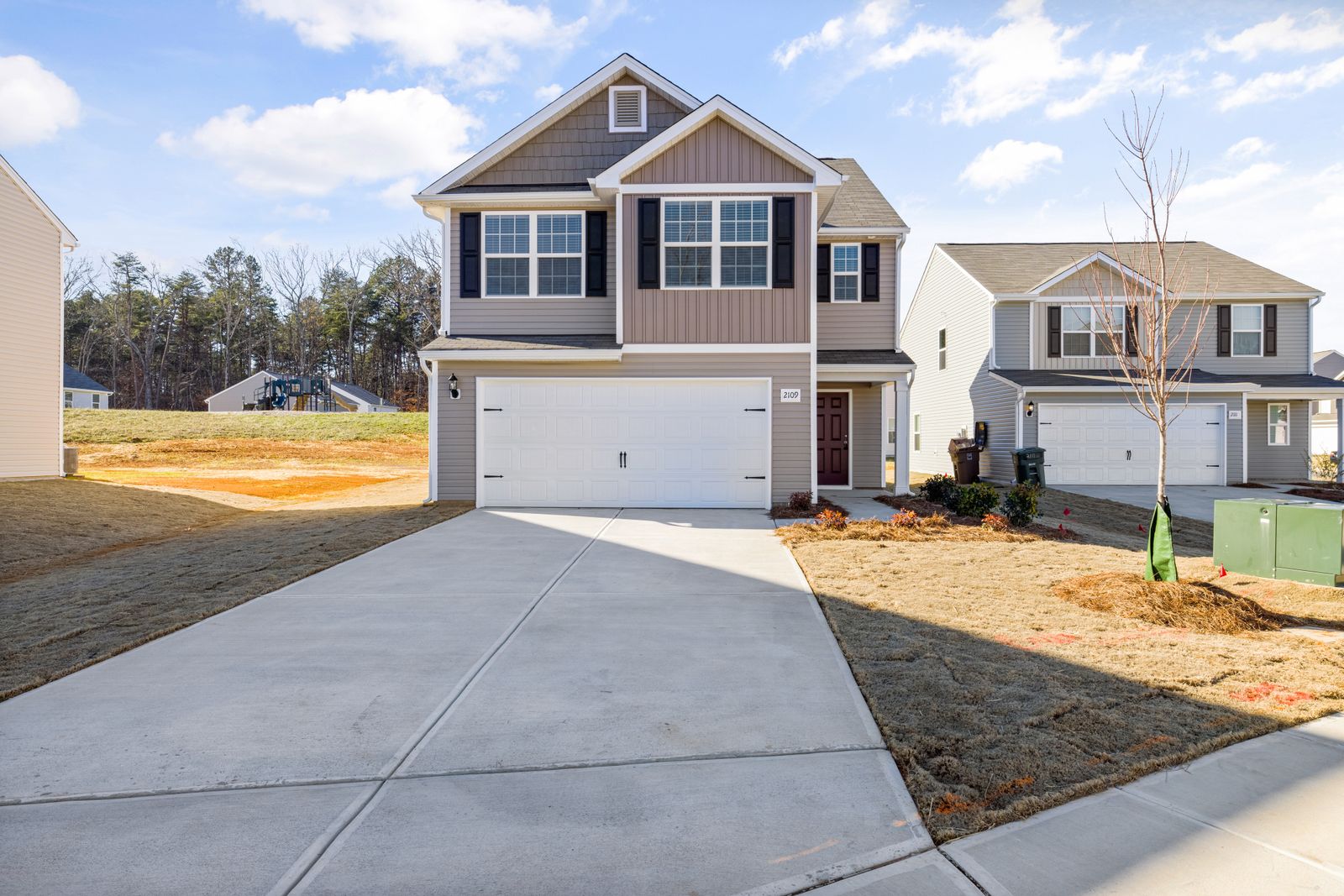 InsuranceExcess Flood Insurance: Coverage Above NFIP's $250,000 LimitThe NFIP caps flood coverage at $250,000 for the building and $100,000 for contents. If your home would cost more to rebuild,…Oct 15, 2026Read guide →
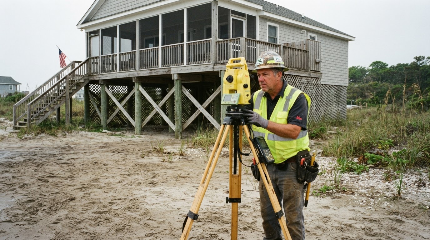 How Elevation Certificates Lower Your Flood Insurance PremiumLearn how an elevation certificate can save you hundreds on flood insurance by accurately showing your home's flood risk. This…Jun 21, 2026Read guide →
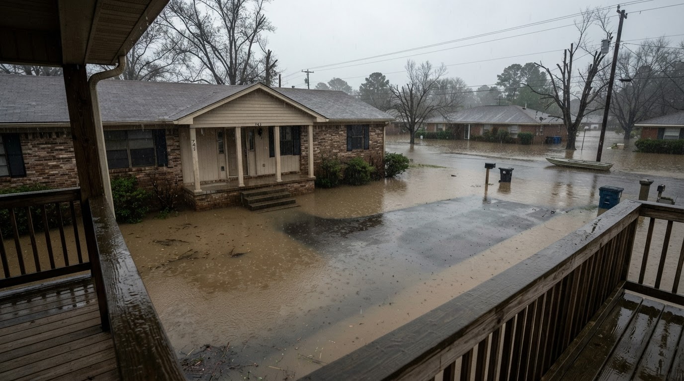 Flooded While Inside: Your Survival GuideIf your home floods while you're inside, every second counts. Learn the life-saving steps from FEMA, the CDC, and Ready.gov to…Jun 21, 2026Read guide →