
Local focus: Flooding
Washington, District of Columbia home risk profile
District of Columbia · Statewide overall risk: Minor
What this page is
Washington sits in District of Columbia, District of Columbia. This is a local briefing: it names the hazard that usually matters most here (Flooding), then shows the statewide ratings District of Columbia homeowners use to decide what official map to open. It is not a flood-zone letter or an insurance quote.
- Confirm the neighborhood with a ZIP lookup.
- Open Flooding in District of Columbia.
- Verify the address on the official maps in the sidebar, then read a matching guide.
Washington is in District of Columbia, District of Columbia. The District faces flooding (Potomac and heavy rain), winter storms, extreme heat and remnants of Atlantic tropical systems.
The ratings below are state-level summaries used across District of Columbia. Actual risk varies by neighborhood — always verify your address on FEMA flood maps, your county emergency management site and the official sources linked from each hazard page.
How to read the Washington snapshot
Washington is in District of Columbia, District of Columbia. This page does not score individual streets. It tells you which statewide hazards matter most here, then points you to the official map for the address you care about.
The local focus is Flooding in District of Columbia. Standard homeowners insurance almost never covers flood. You need a separate NFIP or private flood policy, and it usually has a waiting period.
Highest statewide ratings that apply in Washington
- Flooding — Moderate. If you're buying or insuring a home in the District of Columbia, treat flooding as a real risk, not just a waterfront…
- Winter Storms — Moderate. Winter storms in the District of Columbia are less about buried cabins and more about ice, sleet, and the power going…
- Extreme Heat — Moderate. Extreme heat in the District of Columbia is a level 3 out of 5 risk, which means a week of 95-degree days can wear down…
What to do before you buy or renew in Washington
- Look up the ZIP on our ZIP tool so you land on this city or the District of Columbia profile.
- Open the Flooding page and follow the official map links in the sidebar.
- Confirm preparedness guidance with DC Homeland Security and Emergency Management Agency.
Hazard ratings for District of Columbia
These are state-level scores used across Washington. Use them as a starting point, then verify your exact address with the official maps linked on each hazard page.
What the ratings mean
"MinimalMinorModerateMajorExtreme
Each rating is a statewide starting point, framed for a typical 30-year stay — the length of a standard mortgage. A neighborhood can look different from the state average. Always verify your address with official FEMA, NOAA or USGS maps.
Using the Washington profile
- Does Washington have its own hazard scores?
- No. Washington inherits District of Columbia’s statewide ratings. Use this page to see which peril matters most locally (Flooding), then verify the exact address — two streets in District of Columbia can differ.
- What should I check first in Washington?
- Start with Flooding in District of Columbia, then a ZIP lookup and the FEMA or USGS map that matches that hazard.
- Will homeowners insurance cover Flooding here?
- Standard homeowners insurance almost never covers flood. You need a separate NFIP or private flood policy, and it usually has a waiting period.
Last updated: October 8, 2026. Ratings are state-wide estimates — always verify your specific address with official sources.
Guides for District of Columbia homeowners
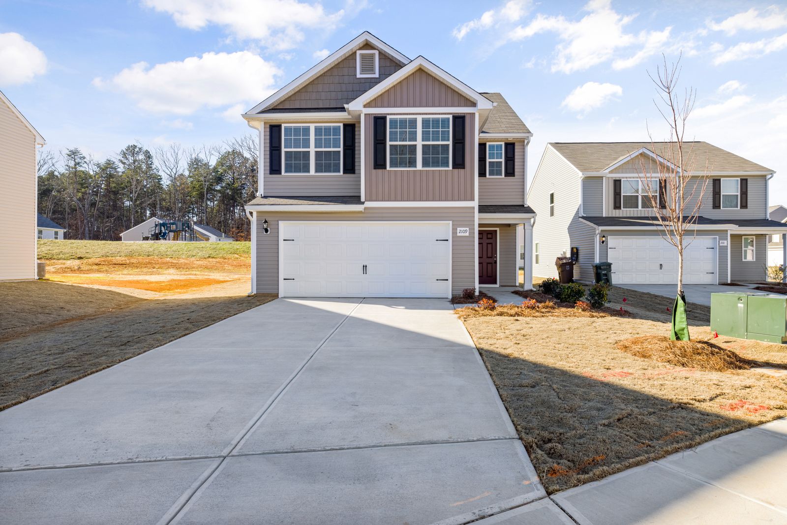 InsuranceExcess Flood Insurance: Coverage Above NFIP's $250,000 LimitThe NFIP caps flood coverage at $250,000 for the building and $100,000 for contents. If your home would cost more to rebuild,…Oct 15, 2026Read guide →
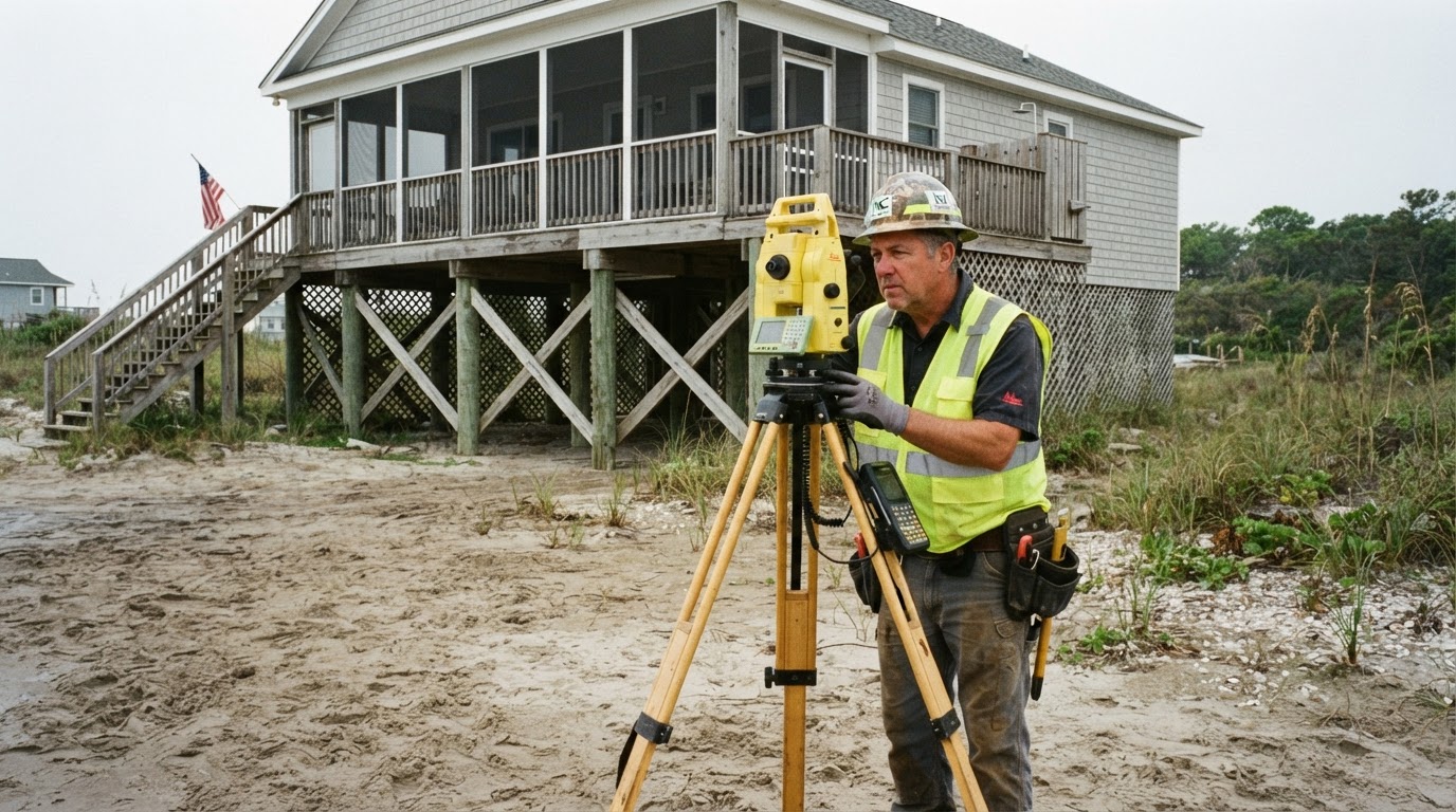 How Elevation Certificates Lower Your Flood Insurance PremiumLearn how an elevation certificate can save you hundreds on flood insurance by accurately showing your home's flood risk. This…Jun 21, 2026Read guide →
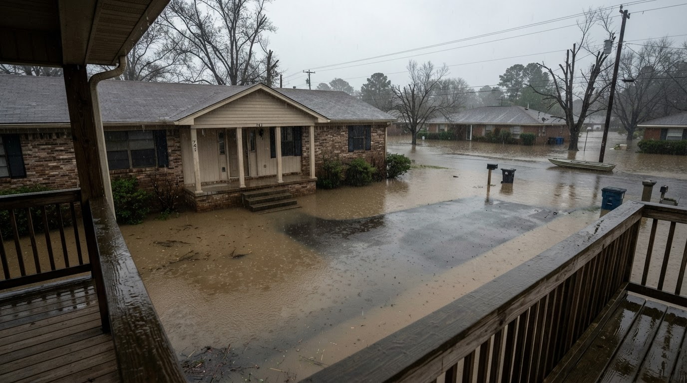 Flooded While Inside: Your Survival GuideIf your home floods while you're inside, every second counts. Learn the life-saving steps from FEMA, the CDC, and Ready.gov to…Jun 21, 2026Read guide →