
Local focus: Wildfires
Santa Fe, New Mexico home risk profile
Santa Fe County · Statewide overall risk: Moderate
What this page is
Santa Fe sits in Santa Fe County, New Mexico. This is a local briefing: it names the hazard that usually matters most here (Wildfires), then shows the statewide ratings New Mexico homeowners use to decide what official map to open. It is not a flood-zone letter or an insurance quote.
- Confirm the neighborhood with a ZIP lookup.
- Open Wildfires in New Mexico.
- Verify the address on the official maps in the sidebar, then read a matching guide.
Santa Fe sits at 7,000 feet in the foothills of the Sangre de Cristo Mountains, where pinon-juniper woodland meets ponderosa forest, beautiful and built to burn. The 2022 Calf Canyon/Hermits Peak Fire, the largest in New Mexico history, burned hundreds of thousands of acres in the mountains east of town and filled Santa Fe with smoke for weeks. It was a demonstration that the city's mountain backdrop is an active fire landscape, not scenery.
The exposure is sharpest on the city's east side and in the county subdivisions climbing toward the forest, where homes sit among continuous fuels with limited water supply and narrow evacuation roads. Santa Fe's beloved adobe and wood architecture complicates the picture: historic homes with wood vigas, wooden portals and shake roofs are charming and flammable in equal measure. Drought underlies everything, since the region's dryness has deepened, pinon trees are dying in waves, and dead trees are standing fuel.
Homeowners should create defensible space even though it can feel at odds with the high-desert aesthetic, since thinning pinon and juniper is both fire protection and forest health. Replace shake roofs with Class A materials, screen vents, and keep a defensible perimeter that the fire department can actually work in. Water is the quiet constraint: confirm supply and pressure for firefighting in county areas, and know that insurance carriers are scrutinizing mountain-adjacent New Mexico properties more closely than they used to.
How to read the Santa Fe snapshot
Santa Fe is in Santa Fe County, New Mexico. This page does not score individual streets. It tells you which statewide hazards matter most here, then points you to the official map for the address you care about.
The local focus is Wildfires in New Mexico. Fire is usually covered, but in high-risk ZIP codes the hard part is keeping a policy at all. Mitigation (defensible space, roof, vents) can matter as much as the premium.
Highest statewide ratings that apply in Santa Fe
- Wildfires — Extreme. New Mexico is rated 5 out of 5 for wildfire risk, the highest level, with spring and early summer fire seasons driven…
- Drought — Extreme. Drought is the defining natural hazard in New Mexico, where most of the state is arid or semi-arid and large areas…
- Extreme Heat — Major. Extreme heat is a serious and recurring hazard in New Mexico, rated level 4 of 5 in the state. Long, intense heat…
What to do before you buy or renew in Santa Fe
- Look up the ZIP on our ZIP tool so you land on this city or the New Mexico profile.
- Open the Wildfires page and follow the official map links in the sidebar.
- Confirm preparedness guidance with New Mexico Department of Homeland Security and Emergency Management.
Other New Mexico city briefings: Albuquerque, Las Cruces.
Hazard ratings for New Mexico
These are state-level scores used across Santa Fe. Use them as a starting point, then verify your exact address with the official maps linked on each hazard page.
What the ratings mean
"MinimalMinorModerateMajorExtreme
Each rating is a statewide starting point, framed for a typical 30-year stay — the length of a standard mortgage. A neighborhood can look different from the state average. Always verify your address with official FEMA, NOAA or USGS maps.
Using the Santa Fe profile
- Does Santa Fe have its own hazard scores?
- No. Santa Fe inherits New Mexico’s statewide ratings. Use this page to see which peril matters most locally (Wildfires), then verify the exact address — two streets in Santa Fe County can differ.
- What should I check first in Santa Fe?
- Start with Wildfires in New Mexico, then a ZIP lookup and the FEMA or USGS map that matches that hazard.
- Will homeowners insurance cover Wildfires here?
- Fire is usually covered, but in high-risk ZIP codes the hard part is keeping a policy at all. Mitigation (defensible space, roof, vents) can matter as much as the premium.
Last updated: October 14, 2026. Ratings are state-wide estimates — always verify your specific address with official sources.
Guides for New Mexico homeowners
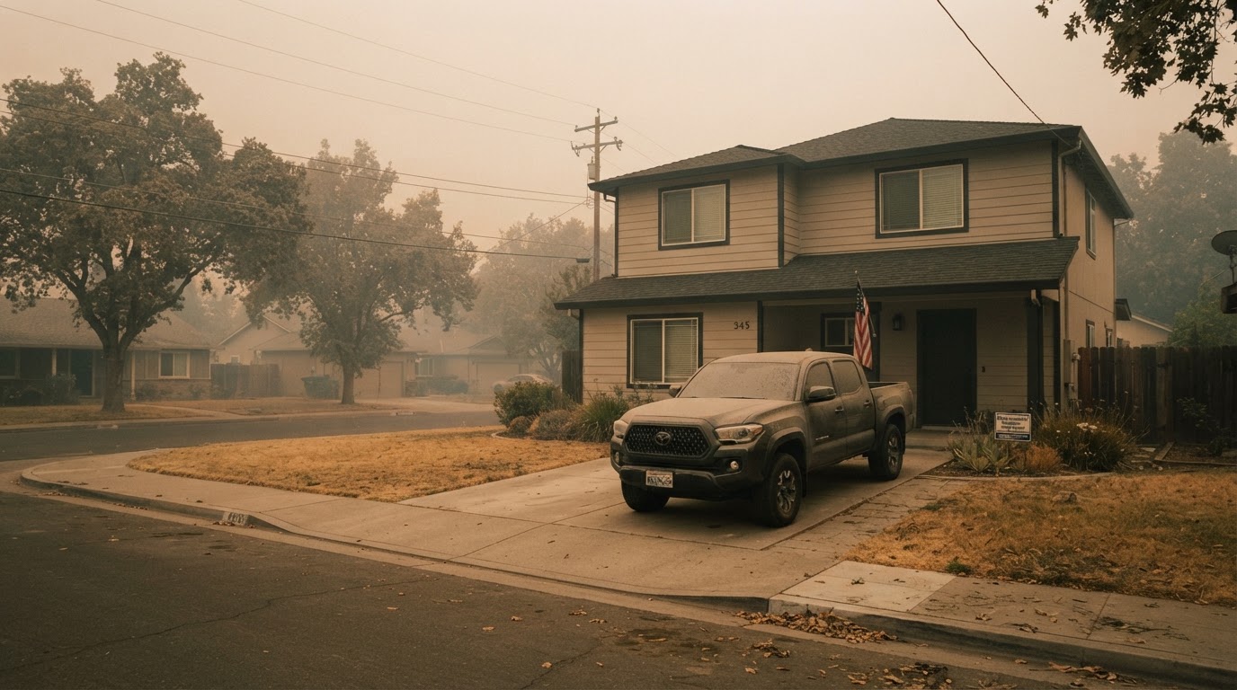 Wildfire Smoke & Air Quality: How to Protect Your HomeLearn how to protect your home and family from wildfire smoke with practical steps from FEMA, CDC, and EPA. From sealing your…Jun 21, 2026Read guide →
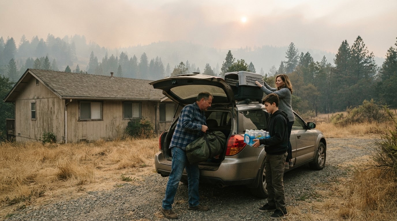 Wildfire Evacuation Prep in 60 Minutes: A Step-by-Step GuideWhen a wildfire threatens, you may have less than an hour to evacuate. Learn how to prepare a go-bag, safeguard your home, and…Jun 21, 2026Read guide →
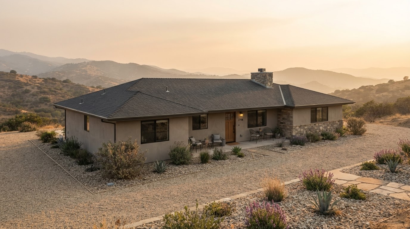 Wildfire Home Hardening: Roof, Vents, Gutters, and Deck ChecklistLearn how to harden your home against wildfire by focusing on four critical areas: roof, vents, gutters, and deck. This checklist…Jun 21, 2026Read guide →