
Northeast region · NY
New York home risk profile
Overall home hazard risk: Moderate
How to use this profile
- Scan the hazard list. Anything rated Major or Extreme is the next page to open.
- Read the insurance note — flood and earthquake are usually separate policies.
- Look up your ZIP, then confirm the address on the official maps linked from each hazard page.
You're flying into New York this weekend for a closing, and the inspection report mentions a sump pump. Good. In New York, the two hazards that should shape your first questions are flooding and winter storms — both 4 out of 5 on our scale. That doesn't mean every house floods or every winter buries you. It means both are common enough that you should price them into your decision before you sign.
Flooding is the one I'd tackle first if you have limited time and money. New York has coast, rivers, lake plains, and city streets that can take on water. Check FEMA flood maps and ask whether the property sits in or near a Special Flood Hazard Area. If it does, your lender will require flood insurance, and NFIP/FloodSmart explains what a policy does and doesn't cover. Remember: standard homeowners insurance typically excludes flood. A basement apartment, a house near a creek, or a low driveway can all change your risk even if the map line is close. For local alerts and preparedness, start with the New York State Division of Homeland Security and Emergency Services.
Winter storms are the other 4 out of 5. In New York, that usually means nor'easters, lake-effect snow, ice, and power outages that can last for days, depending on where you live. A roof's age, slope, and drainage matter. So does whether the house has a generator, a carbon monoxide alarm, and a plan for heat if the power goes. NOAA/NWS forecasts help, but the practical test is simpler: ask the seller about the last big storm, ice dams, and any basement water. For hurricane and severe storm risk — both 3 out of 5 — the coast and downstate areas deserve extra attention to wind, storm surge, and tree damage.
New York is not one risk profile. A house in the Adirondacks, a Buffalo suburb, Long Island, and Queens can face very different odds. Use the state ratings as a starting filter, then get property-specific answers: elevation certificate, flood insurance quote, roof inspection, and emergency plan. If I had one weekend, I'd pull the flood map and call an insurance agent before I worried about anything else.
Risk levels in New York
Statewide scores, highest first. A neighborhood can look different from the state average — use these to decide which official map to open.
What the ratings mean
"MinimalMinorModerateMajorExtreme
Each rating is a statewide starting point, framed for a typical 30-year stay — the length of a standard mortgage. A neighborhood can look different from the state average. Always verify your address with official FEMA, NOAA or USGS maps.
Questions about New York
- What is the overall home-hazard rating in New York?
- New York scores Moderate overall on our statewide scale. That average can hide one severe local peril — open the highest-rated hazard pages and then verify your address.
- Does a standard homeowners policy cover the main risks in New York?
- Standard homeowners insurance almost never covers flood. You need a separate NFIP or private flood policy, and it usually has a waiting period.
- How should I use this New York page?
- Treat it as a briefing, not a determination. Check the hazard list, open the pages rated Major or Extreme, then confirm the parcel on FEMA, NOAA or USGS maps and with New York State Division of Homeland Security and Emergency Services.
Last updated: October 8, 2026. Risk levels are state-wide estimates based on public hazard data (FEMA, NOAA, USGS) — always verify your specific address with official sources.
Guides to read with this profile
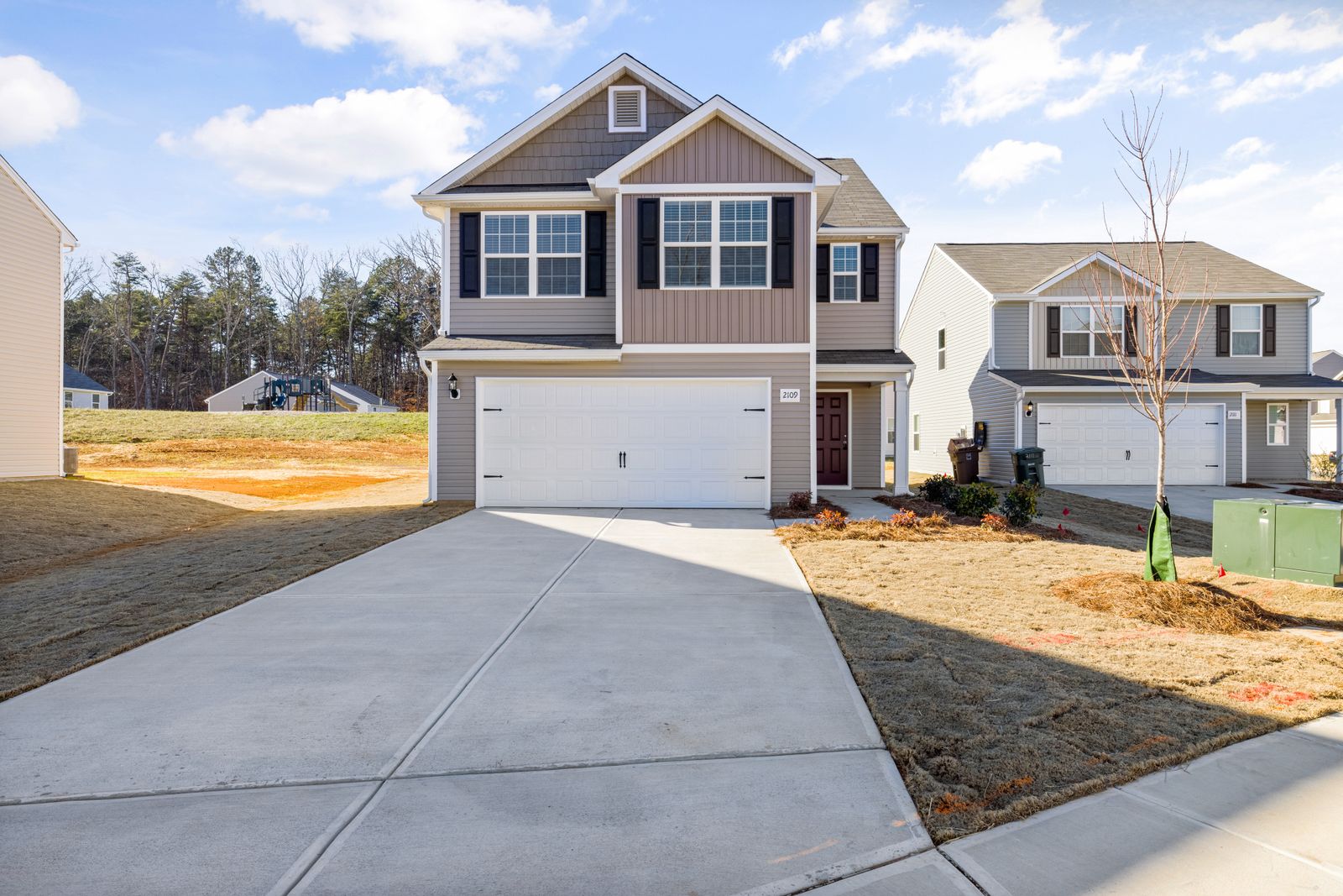 InsuranceExcess Flood Insurance: Coverage Above NFIP's $250,000 LimitThe NFIP caps flood coverage at $250,000 for the building and $100,000 for contents. If your home would cost more to rebuild,…Oct 15, 2026Read guide →
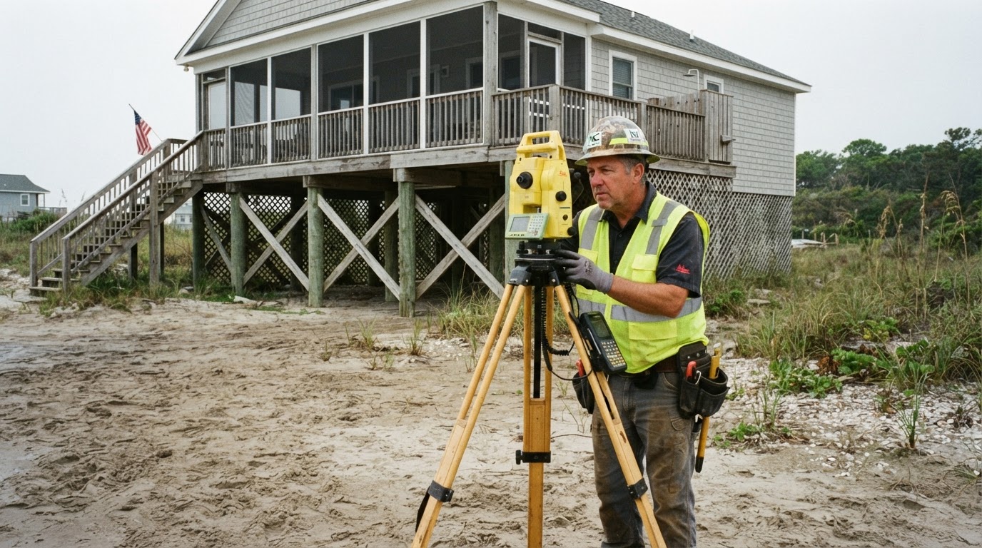 How Elevation Certificates Lower Your Flood Insurance PremiumLearn how an elevation certificate can save you hundreds on flood insurance by accurately showing your home's flood risk. This…Jun 21, 2026Read guide →
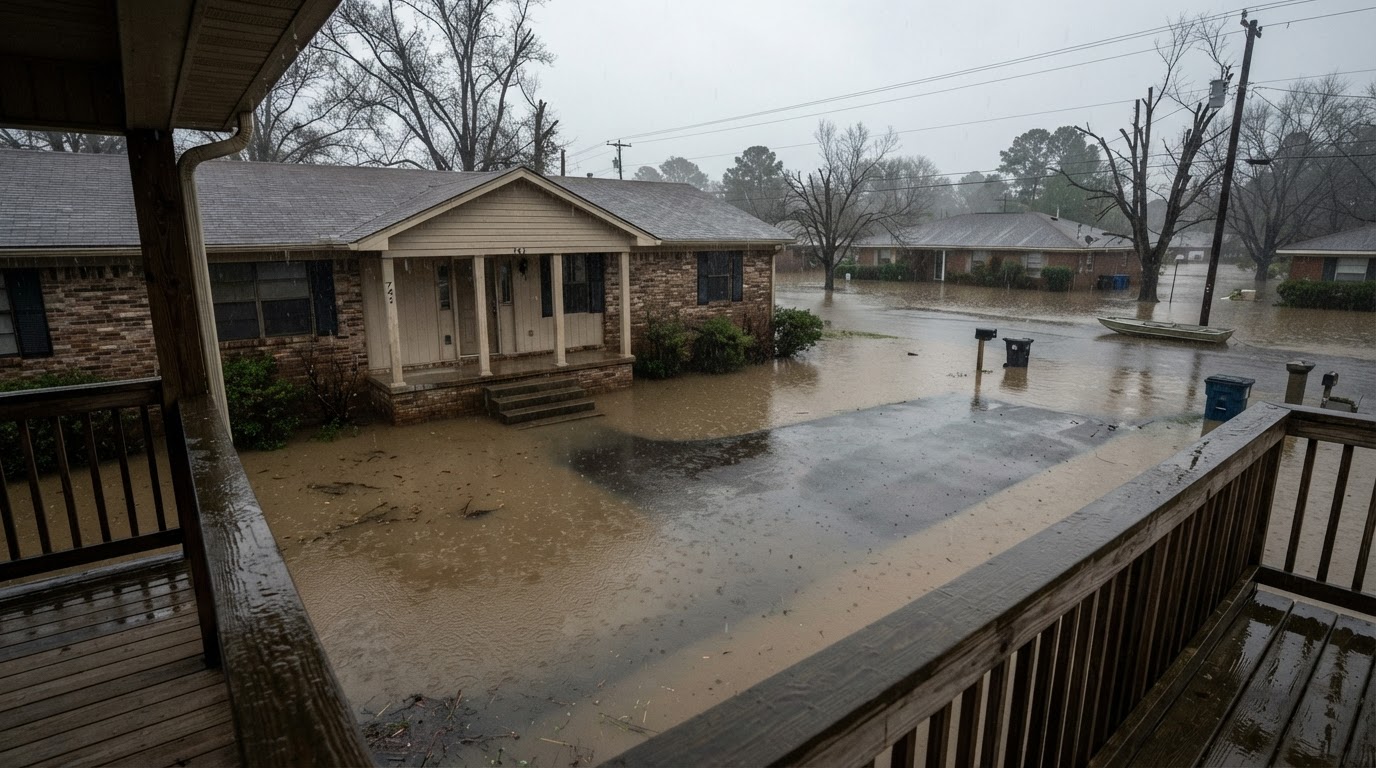 Flooded While Inside: Your Survival GuideIf your home floods while you're inside, every second counts. Learn the life-saving steps from FEMA, the CDC, and Ready.gov to…Jun 21, 2026Read guide →