
Midwest region · ND
North Dakota home risk profile
Overall home hazard risk: Moderate
How to use this profile
- Scan the hazard list. Anything rated Major or Extreme is the next page to open.
- Read the insurance note — flood and earthquake are usually separate policies.
- Look up your ZIP, then confirm the address on the official maps linked from each hazard page.
You're flying into Fargo or Bismarck this weekend to walk through a house you might buy. The seller's disclosure says nothing about a wet basement, and the realtor keeps saying "it's never flooded here." Before you sign anything, know that North Dakota's two biggest home risks are winter storms and flooding. Winter storms score a 5 out of 5 on our hazard scale. Flooding is right behind at 4 out of 5.
That 5/5 for winter storms means blizzards, ice storms, and weeks of subzero cold that stress your furnace, pipes, and roof. NOAA's National Weather Service issues the warnings, but your first defense is a heating system you trust. Ask for service records. Check the attic insulation. A new furnace isn't cheap, but it's cheaper than a burst pipe. A house that's cheap to heat in July can bankrupt you in January.
Flooding at 4/5 is the sneaky one. It's not just the Red River in spring. It's snowmelt, ice jams, and heavy rain on frozen ground. FEMA's flood maps are the place to start—pull the map for the exact parcel, not the county. If the house sits in a special flood hazard area, your lender will require flood insurance through NFIP. Even outside the zone, consider it. North Dakota has had floods in places that surprised people.
Tornadoes, drought, and severe storms are moderate (3/5). Wildfires are low (2/5). Earthquakes, hurricanes, and landslides are 1/5—not zero, but not your main worry. The North Dakota Department of Emergency Services has preparedness guides for homeowners. If you only do one thing with limited time, request the flood history for the address and a recent elevation certificate. That single document tells you more than any seller's story. Then call an insurance agent who writes in North Dakota and ask what a winter storm claim looks like. You'll learn fast.
Risk levels in North Dakota
Statewide scores, highest first. A neighborhood can look different from the state average — use these to decide which official map to open.
What the ratings mean
"MinimalMinorModerateMajorExtreme
Each rating is a statewide starting point, framed for a typical 30-year stay — the length of a standard mortgage. A neighborhood can look different from the state average. Always verify your address with official FEMA, NOAA or USGS maps.
Questions about North Dakota
- What is the overall home-hazard rating in North Dakota?
- North Dakota scores Moderate overall on our statewide scale. That average can hide one severe local peril — open the highest-rated hazard pages and then verify your address.
- Does a standard homeowners policy cover the main risks in North Dakota?
- Weight of ice and snow is often covered; flood from a burst pipe or ice jam may need extra coverage. Frozen-pipe exclusions show up when heat was off.
- How should I use this North Dakota page?
- Treat it as a briefing, not a determination. Check the hazard list, open the pages rated Major or Extreme, then confirm the parcel on FEMA, NOAA or USGS maps and with North Dakota Department of Emergency Services.
Last updated: October 8, 2026. Risk levels are state-wide estimates based on public hazard data (FEMA, NOAA, USGS) — always verify your specific address with official sources.
Guides to read with this profile
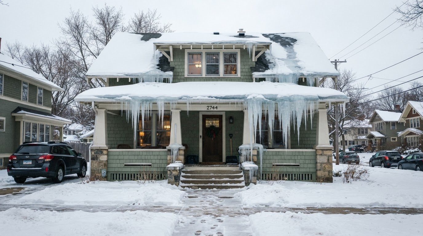 Stop Ice Dams: Essential Prevention Tips for Your RoofIce dams can cause costly damage to your home. Learn how to prevent them with proper insulation, ventilation, and smart home…Jun 21, 2026Read guide →
 Safe Backup Heating for Winter Power Outages: Expert TipsLearn how to stay warm safely during a winter power outage with backup heating options recommended by FEMA, Ready.gov, and the…Jun 21, 2026Read guide →
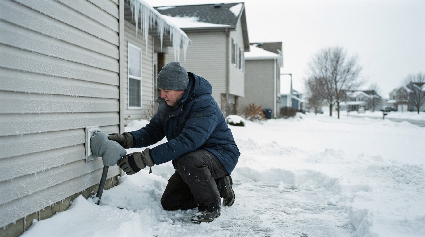 Prevent Frozen and Burst Pipes This WinterFrozen pipes can burst and cause costly water damage. Learn practical steps from FEMA and Ready.gov to protect your home before,…Jun 21, 2026Read guide →