
Local focus: Winter Storms
Columbus, Ohio home risk profile
Franklin County · Statewide overall risk: Moderate
What this page is
Columbus sits in Franklin County, Ohio. This is a local briefing: it names the hazard that usually matters most here (Winter Storms), then shows the statewide ratings Ohio homeowners use to decide what official map to open. It is not a flood-zone letter or an insurance quote.
- Confirm the neighborhood with a ZIP lookup.
- Open Winter Storms in Ohio.
- Verify the address on the official maps in the sidebar, then read a matching guide.
Columbus is in Franklin County, Ohio. Winter storms, severe thunderstorms, flooding and tornadoes are the main home hazards. Earthquake and hurricane risk stay low.
The ratings below are state-level summaries used across Ohio. Actual risk varies by neighborhood — always verify your address on FEMA flood maps, your county emergency management site and the official sources linked from each hazard page.
How to read the Columbus snapshot
Columbus is in Franklin County, Ohio. This page does not score individual streets. It tells you which statewide hazards matter most here, then points you to the official map for the address you care about.
The local focus is Winter Storms in Ohio. Weight of ice and snow is often covered; flood from a burst pipe or ice jam may need extra coverage. Frozen-pipe exclusions show up when heat was off.
Highest statewide ratings that apply in Columbus
- Flooding — Major. Flooding is one of Ohio's most common and costly natural hazards, affecting river communities, Appalachian valleys,…
- Winter Storms — Major. Ohio faces a significant risk from winter storms, rated 4 out of 5. The state experiences heavy snow, ice, and…
- Severe Storms — Major. Ohio faces a high risk of severe storms, including damaging winds, large hail, and tornadoes. The state's peak storm…
What to do before you buy or renew in Columbus
- Look up the ZIP on our ZIP tool so you land on this city or the Ohio profile.
- Open the Winter Storms page and follow the official map links in the sidebar.
- Confirm preparedness guidance with Ohio Emergency Management Agency.
Other Ohio city briefings: Akron, Cincinnati, Cleveland, Dayton, Toledo.
Hazard ratings for Ohio
These are state-level scores used across Columbus. Use them as a starting point, then verify your exact address with the official maps linked on each hazard page.
What the ratings mean
"MinimalMinorModerateMajorExtreme
Each rating is a statewide starting point, framed for a typical 30-year stay — the length of a standard mortgage. A neighborhood can look different from the state average. Always verify your address with official FEMA, NOAA or USGS maps.
Using the Columbus profile
- Does Columbus have its own hazard scores?
- No. Columbus inherits Ohio’s statewide ratings. Use this page to see which peril matters most locally (Winter Storms), then verify the exact address — two streets in Franklin County can differ.
- What should I check first in Columbus?
- Start with Winter Storms in Ohio, then a ZIP lookup and the FEMA or USGS map that matches that hazard.
- Will homeowners insurance cover Winter Storms here?
- Weight of ice and snow is often covered; flood from a burst pipe or ice jam may need extra coverage. Frozen-pipe exclusions show up when heat was off.
Last updated: October 8, 2026. Ratings are state-wide estimates — always verify your specific address with official sources.
Guides for Ohio homeowners
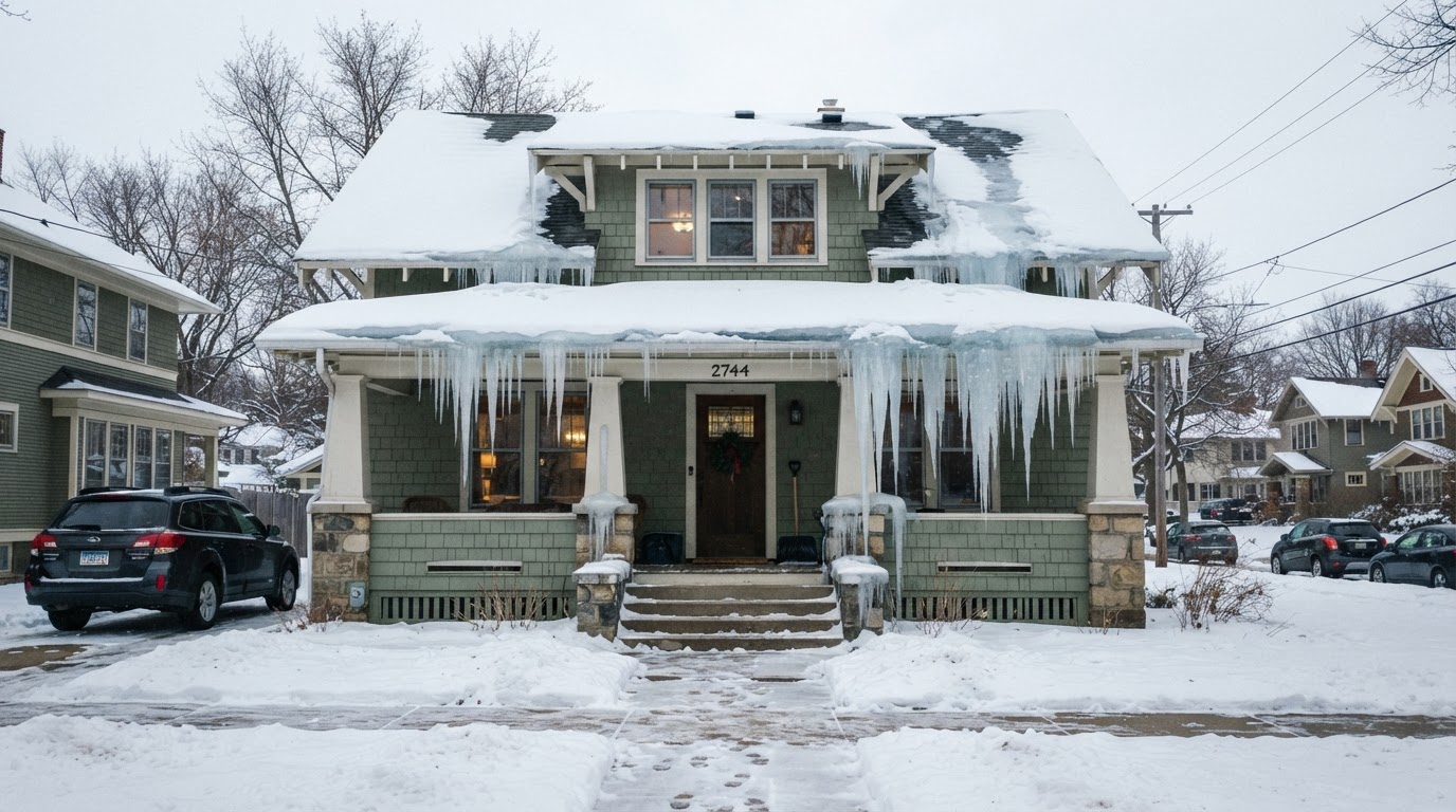 Stop Ice Dams: Essential Prevention Tips for Your RoofIce dams can cause costly damage to your home. Learn how to prevent them with proper insulation, ventilation, and smart home…Jun 21, 2026Read guide →
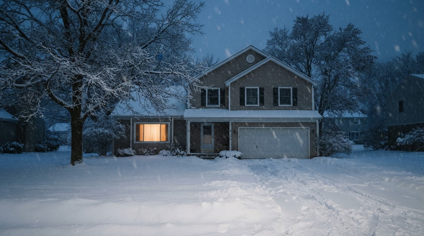 Safe Backup Heating for Winter Power Outages: Expert TipsLearn how to stay warm safely during a winter power outage with backup heating options recommended by FEMA, Ready.gov, and the…Jun 21, 2026Read guide →
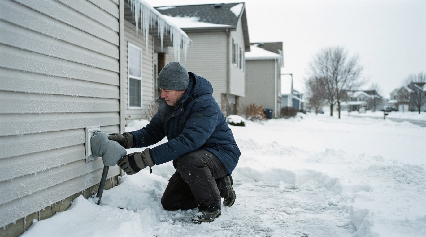 Prevent Frozen and Burst Pipes This WinterFrozen pipes can burst and cause costly water damage. Learn practical steps from FEMA and Ready.gov to protect your home before,…Jun 21, 2026Read guide →