
13 Million Homes at Flood Risk Aren't in FEMA Flood Zones
6 min read
On this page
- Why "Not in a Flood Zone" Doesn't Mean "Not at Risk"
- What FEMA Flood Maps Actually Show
- Where Unmapped Flooding Actually Comes From
- A Five-Minute Check of Your Home's Real Risk
- Flood Insurance: The Coverage Gap Most Homeowners Have
- Practical Steps to Lower Your Risk This Weekend
- When Water Is Rising: Safety First
- The Bottom Line
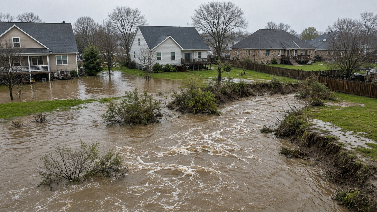
FEMA's high-risk flood zones leave out millions of at-risk properties. Here's how to find out whether your home is one of them — and what to do about it.
Why "Not in a Flood Zone" Doesn't Mean "Not at Risk"
When you buy a home, the only flood question your lender is required to answer is whether the property sits inside a FEMA-designated Special Flood Hazard Area (SFHA) — the high-risk zone where flood insurance is typically mandatory. If your address falls outside one of those zones, you can close on the house without a flood policy, and many homeowners read that as an all-clear signal.
It isn't. FEMA's flood maps are built for a specific job: setting minimum standards for the National Flood Insurance Program and for local floodplain building codes. They are not a complete inventory of everywhere water can go. FEMA has long noted that more than one in five flood insurance claims come from properties outside designated high-risk zones — a statistic that surprises plenty of homeowners who assumed "no zone" meant "no problem."
Analyses by researchers, insurers and FEMA itself have produced a range of estimates — commonly in the millions of homes — for how many properties carry meaningful flood risk that isn't reflected in the mapped high-risk zones. The exact number shifts with methodology and with each map update. What stays consistent across the research is the direction: the gap is large, and it is mostly filled by smaller streams, urban drainage systems, intense rainfall, and maps that are simply old or incomplete.
What FEMA Flood Maps Actually Show
FEMA's Flood Insurance Rate Maps (FIRMs) sort land into zones. Knowing which one you're in is the starting point, not the finish line:
- Zone A, AE, AO, AH, and similar: high-risk areas with at least a 1% chance of flooding in any given year — the so-called "100-year floodplain." Over the life of a 30-year mortgage, a home in one of these areas has roughly a 26% chance of flooding, according to FEMA.
- Shaded Zone X: moderate risk, generally the area with a 0.2% annual chance of flooding (the "500-year floodplain"). Insurance isn't required, but it is often recommended.
- Unshaded Zone X: minimal risk, based on the best data available when the map was drawn.
- Zone D: undetermined risk — no flood analysis has been completed. If you're in a D zone, you have no mapped answer at all.
You can look up your address on FEMA's Flood Map Service Center and download your community's map panels and Flood Insurance Study. Just remember: the map tells you what FEMA modeled, not what a storm will do.
Where Unmapped Flooding Actually Comes From
Most of the risk outside the high-risk zones comes from a handful of predictable sources:
- Small streams, creeks and ditches. Waterways too small to be studied in detail can still jump their banks and pour into neighborhoods.
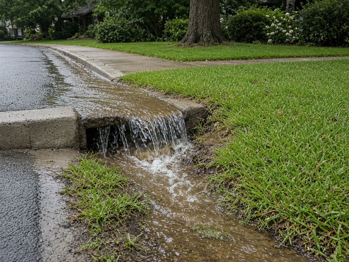
- Rainfall or "pluvial" flooding. When rain falls faster than storm drains, culverts and roadside ditches can carry it away, streets and yards flood — even far from any river.
- Urban runoff. Pavement and rooftops shed water instead of absorbing it, so the same storm that was harmless 40 years ago can now overwhelm a neighborhood's drainage.
- Flash flooding. The National Weather Service warns this is the top weather-related killer, and it can develop within minutes in low spots, canyons and steep terrain.
- Outdated or revised maps. Many FIRMs took years to produce and can lag behind new development, new rainfall science, and changes in land use. FEMA revises maps over time, which sometimes moves properties into — or out of — high-risk zones.
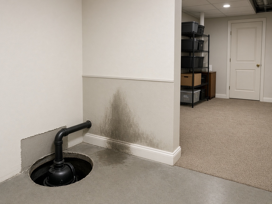
- Sewer and drainage backup. No flood map captures this risk, and standard homeowners policies usually exclude it.
A Five-Minute Check of Your Home's Real Risk
- Look up your address in the FEMA Flood Map Service Center. Note your zone and the effective date of the map — if it's older than about 10–15 years, treat it as a rough guide.
- Check county-level risk in FEMA's National Risk Index, which combines flood, hurricane, wildfire and other hazards with expected annual losses for your area.
- See whether a stream gauge is nearby. USGS real-time water data shows current and historical streamflow and gage height. If a gauge on your local creek frequently spikes, that matters more than your zone letter.
- Call your local floodplain administrator or planning office. They maintain the local drainage knowledge, permit records, and past flood reports that no federal map contains.
- Ask the neighbors. "Has this street ever flooded?" is one of the most accurate risk questions you can ask.
Flood Insurance: The Coverage Gap Most Homeowners Have
Here's the part that catches people off guard: a standard homeowners policy does not cover flooding. Water damage from a burst pipe is covered. Water that comes from outside — rising creeks, storm surge, rainfall pooling against your foundation — generally is not.
Flood coverage is available as a separate policy through the National Flood Insurance Program or through private insurers, and it is sold in moderate- and low-risk zones too. A few things to know:
- There is generally a 30-day waiting period before a new NFIP policy takes effect, so buying coverage as a storm approaches usually doesn't work.
- Renters can buy contents-only coverage for their belongings.
- FEMA's current pricing approach, Risk Rating 2.0, factors in things like distance to water, elevation and replacement cost rather than just your flood zone — so two neighbors can pay very different rates.
- Start at FloodSmart.gov to compare NFIP options and find local agents.
Practical Steps to Lower Your Risk This Weekend
- Regrade soil so water flows away from the foundation, and extend downspouts several feet from the house.
- Keep gutters, driveway drains and nearby storm inlets clear of leaves and debris.
- Install a sump pump with a battery backup, and ask a plumber about a backflow valve to reduce sewer backup.
- Elevate the furnace, water heater, washer and electrical panel if they sit near the floor — FEMA's mitigation guidance covers this in detail.
- Store important documents and valuables above your likely flood level in waterproof containers, and keep digital copies.
- Photograph or video every room now. An inventory created after a flood is far less useful to an adjuster.
- Sign up for local emergency alerts and make a household plan using Ready.gov. For larger projects, ask your local emergency manager about FEMA hazard mitigation grants that can help fund elevation or buyouts.
When Water Is Rising: Safety First
Follow the National Weather Service's rule: Turn Around, Don't Drown. Six inches of fast-moving water can knock an adult off their feet, and a foot of moving water can carry away a small car. Never drive or walk into flooded roads — the road beneath may be gone.
The CDC also cautions that floodwater can carry sewage, chemicals, sharp debris and live electrical hazards. Keep children and pets out of it. After a flood, document damage with photos before cleanup, contact your insurer promptly, and dry out your home within 24–48 hours where possible to limit mold growth. Federal assistance, when available, is applied for at DisasterAssistance.gov.
The Bottom Line
Your flood zone is one data point, not a verdict. Find out what it is, check the date on the map, look at real-world evidence like nearby stream gauges and neighbor reports, and assume that anywhere it can rain, it can flood. Then decide about insurance and do the small, cheap things — grading, drains, sump pumps, elevated storage, a household plan — that keep a bad afternoon from becoming a financial disaster.
About our guidance
Our guides are grounded in publicly available information from official sources such as FEMA, NOAA, USGS and Ready.gov. Information is general in nature — always verify details for your specific property and policy with official sources and your insurer.
Related guides
 InsuranceLender-Placed Flood Insurance: The Expensive Backup If Your Policy LapsesYour lender can force-place flood insurance if your policy lapses — and bill you for it, usually at a higher price. Here is how…Oct 15, 2026Read guide →
 InsuranceWhat Happens to Your NFIP Policy If Congress Lets the Program LapseCongress extended the NFIP through December 11, 2026. If the program lapses, existing policies stay in force and claims get paid…Oct 15, 2026Read guide →
 InsuranceExcess Flood Insurance: Coverage Above NFIP's $250,000 LimitThe NFIP caps flood coverage at $250,000 for the building and $100,000 for contents. If your home would cost more to rebuild,…Oct 15, 2026Read guide →