
Your Home Can Flood Outside a FEMA Flood Zone—Here's Why
6 min read

On this page
FEMA's high-risk flood zones don't cover every way water reaches a house. Here's how homes outside the floodplain flood, what repairs really cost, and how to protect yourself.
If your house sits outside the shaded high-risk area on a FEMA flood map, it is tempting to assume water will never find you. In reality, a large share of flood damage in the United States happens outside those zones—and standard homeowners insurance almost never pays for it.
Here is what flood maps do and do not tell you, how water gets into homes that are 'not in a flood zone,' and what a flood can cost you if you are uninsured.
What FEMA Flood Maps Really Show
A FEMA Flood Insurance Rate Map (FIRM) identifies the Special Flood Hazard Area (SFHA)—land with a 1% chance of flooding in any given year, often called the 100-year floodplain. FEMA's own messaging is blunt about the odds: over the life of a 30-year mortgage, a property in the SFHA has roughly a 1-in-4 chance of flooding.
Two things follow from that definition. First, the map is a regulatory and insurance tool, drawn mainly to set building standards and lender requirements—not a prediction of every place water can go. Second, a 1% annual chance does not mean never. It means the risk is lower, not absent. FEMA has noted that a significant share of National Flood Insurance Program claims—commonly cited as more than 20%—come from properties outside high-risk areas.
Your zone can change, or be incomplete
Maps are revised as new studies, development, and drainage changes occur. Some land is left 'unstudied' (Zone D, undetermined risk), and some is mapped as moderate-risk shaded Zone X with a 0.2% annual chance of flooding—still a real risk over decades. If you believe your home was mapped into the SFHA in error, FEMA's Map Service Center explains how to request a Letter of Map Amendment (LOMA). A successful LOMA can remove a mandatory insurance requirement, but it is not a guarantee that your home cannot flood.
Six Ways Water Reaches Homes Outside the Flood Zone
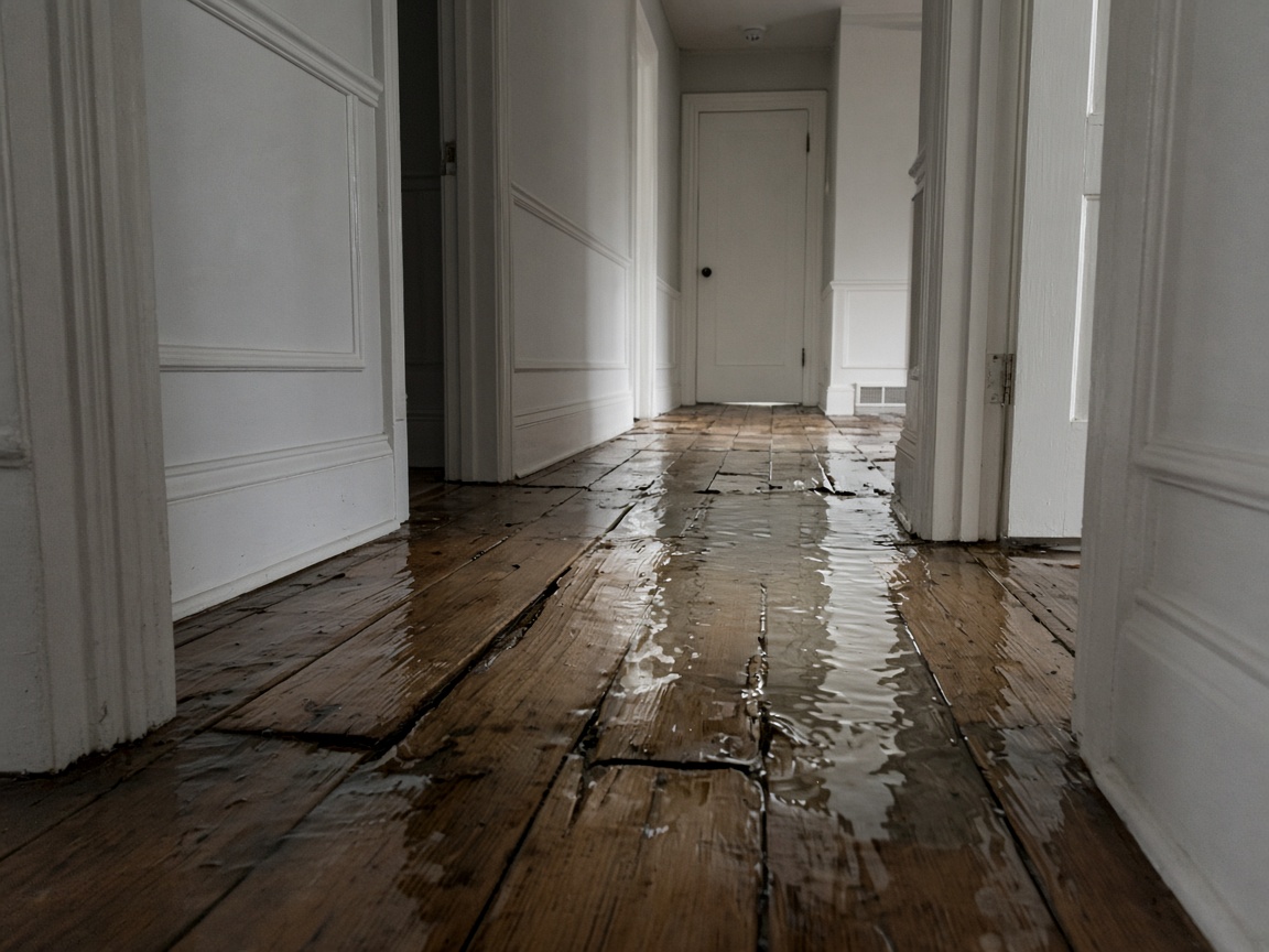
1. Flash flooding from intense rainfall
A slow-moving thunderstorm or stalled front can drop several inches of rain in an hour, overwhelming ground that is already saturated. The National Weather Service warns that just six inches of fast-moving water can knock an adult off their feet, one foot can float many vehicles, and two feet can carry most cars away.
2. Urban and stormwater flooding
Paved streets, driveways, and parking lots shed water instead of absorbing it. The USGS notes that urbanization increases runoff, which is why streets, underpasses, and low-lying subdivisions can pond or flood even when no river or creek is nearby. Overloaded storm drains and undersized culverts make it worse.
3. Small streams, creeks, and drainage ditches
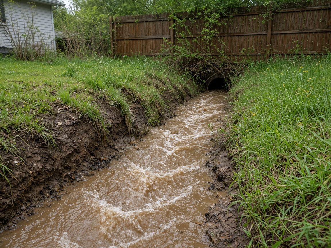
Many small waterways are not studied in detail, so they never appear as a high-risk zone on a map. A ditch that is normally a trickle can rise over its banks in minutes after heavy rain upstream.
4. Coastal and storm surge flooding
Hurricane and tropical storm surge can push water miles inland through tidal creeks, canals, and low roads, reaching properties well outside mapped coastal high-hazard areas. NOAA's National Hurricane Center and your local National Weather Service office issue surge and coastal flood forecasts for these events.
5. Land behind levees and dams
Large areas behind a levee are often mapped as moderate-risk shaded Zone X because of the protection the levee is assumed to provide. Levees can be overtopped, eroded, or fail, and older levees may not meet current standards. A dam failure upstream can send a wall of water into areas with no mapped river floodplain at all.
6. Sewer backup, groundwater, and seepage
When the ground is saturated, water can rise through floor drains, seep through foundation cracks, and back up into basements through municipal sewer lines. Homeowners policies typically exclude sewer backup, and the NFIP covers it only when the backup is caused directly by flooding. A rider or endorsement is often needed.
What a Flood Actually Costs You
Standard homeowners, renters, and condo policies exclude flood damage. You need a separate NFIP policy or private flood insurance. Without it, every dollar of damage comes out of your pocket.
- Repairs: even an inch of water can mean removing and replacing drywall, baseboards, insulation, flooring, cabinets, and doors.
- Systems and appliances: furnaces, water heaters, electrical panels, washers, dryers, and kitchen appliances are common total losses.
- Mold and hidden moisture: the CDC advises drying wet materials within 24 to 48 hours to reduce mold growth, and mold remediation adds significant cost.
- Contents: furniture, electronics, clothing, tools, and keepsakes are usually a separate coverage line.
- Displacement: hotel stays and rent while your home is repaired.
- Resale and disclosure: a repeatedly flooded home can be harder to sell and may carry a disclosure obligation.
FEMA reports that average NFIP flood claims run into the tens of thousands of dollars, with many claims far higher. Federal disaster assistance is not a substitute for insurance: it is not available after every event, is typically limited, and often comes in the form of a loan that must be repaid.
Flood Insurance: What to Know Before You Need It
- The NFIP offers up to $250,000 of building coverage and $100,000 of contents coverage for a residential property.
- There is generally a 30-day waiting period before a new policy takes effect, with limited exceptions such as certain loan closings.
- Renters can buy contents-only coverage; condo owners can cover the unit and belongings.
- Basement coverage is limited—structural elements and utility equipment may be covered, but finished basements and basement contents generally are not.
- Private flood policies may offer higher limits or extra features, so it is worth comparing.
- FEMA's current pricing approach considers your property's specific characteristics rather than just the zone, and mitigation such as elevation can affect your premium.
Practical Steps to Reduce Your Risk
- Grade soil so it slopes away from the foundation, and extend downspouts so they discharge several feet from the house.
- Keep gutters, swales, and yard drains clear before storm season.
- Install a sump pump with a battery backup, and test it.
- Ask a plumber about a backwater valve on your sewer line.
- Add flood vents to crawlspace foundations where appropriate.
- Elevate water heaters, furnaces, and electrical components above expected flood levels.
- Rebuild wet areas with flood-resistant materials such as tile and moisture-resistant drywall.
- Photograph and inventory your belongings; store records in a waterproof container or the cloud.
- Sign up for local emergency alerts and review Ready.gov flood guidance with your household.
- Revisit your insurance coverage every year—especially after a map revision.
Check the Risk Where You Live
- FEMA Map Service Center for your current FIRM panel
- FEMA's National Risk Index for county-level riverine and coastal flood risk
- USGS real-time streamflow data for nearby rivers and streams
- Your city or county floodplain administrator and emergency management office, who often know local street-flooding history
The Bottom Line
A flood zone line on a map is not a promise that your home is safe from water. Take three actions this month: look up your current FEMA map panel and read it carefully, ask your local floodplain administrator whether your street has flooded before, and call your insurance agent to price a flood policy—even if you are in a low-risk zone. If you already have coverage, do one mitigation project before the next storm season. The cost of a policy is almost always smaller than the cost of a flooded home.
About our guidance
Our guides are grounded in publicly available information from official sources such as FEMA, NOAA, USGS and Ready.gov. Information is general in nature — always verify details for your specific property and policy with official sources and your insurer.
Related guides
 InsuranceLender-Placed Flood Insurance: The Expensive Backup If Your Policy LapsesYour lender can force-place flood insurance if your policy lapses — and bill you for it, usually at a higher price. Here is how…Oct 15, 2026Read guide →
 InsuranceWhat Happens to Your NFIP Policy If Congress Lets the Program LapseCongress extended the NFIP through December 11, 2026. If the program lapses, existing policies stay in force and claims get paid…Oct 15, 2026Read guide →
 InsuranceExcess Flood Insurance: Coverage Above NFIP's $250,000 LimitThe NFIP caps flood coverage at $250,000 for the building and $100,000 for contents. If your home would cost more to rebuild,…Oct 15, 2026Read guide →