
Hurricane Isaias Storm Surge Map: Gulf Coast vs. Reality
6 min read
On this page
Hurricane Isaias never made landfall on the Gulf Coast, but storm surge risk from Louisiana to Florida's Big Bend is real. Here is how to find official surge maps for your address.
Hurricane Isaias and the Gulf Coast: Setting the Record Straight
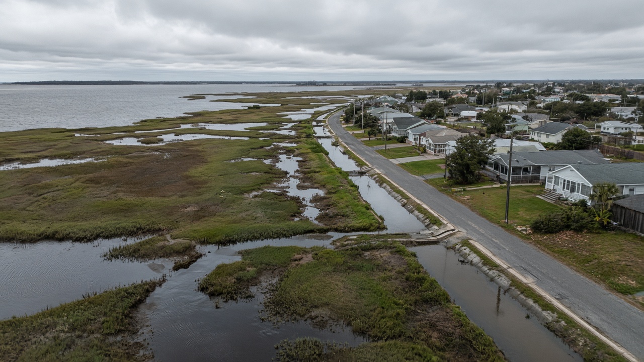
If you live between Louisiana and Florida's Big Bend and you have been searching for a Hurricane Isaias storm surge map, here is the most important thing to know up front: Hurricane Isaias (2020) did not make landfall on the Gulf Coast. Isaias tracked along the Atlantic side of Florida, came ashore in North Carolina in early August 2020, and then pushed up the Eastern Seaboard. Its surge, flooding rain, and damaging winds were felt along the Southeast and Mid-Atlantic coast — not in the Gulf of Mexico.
That distinction matters. A mislabeled or carelessly generated surge map can send homeowners looking for risk in the wrong place. This guide explains what actually happened with Isaias, why storm surge is the deadliest part of any hurricane, and how Gulf Coast residents can pull up official, location-specific surge maps for their own address.
What Hurricane Isaias Actually Did
- Formed in late July 2020 and moved through the Caribbean, affecting Puerto Rico and the Bahamas.
- Tracked roughly parallel to Florida's east coast — the Atlantic side — rather than crossing the Gulf.
- Made landfall in southeastern North Carolina in early August 2020 as a Category 1 hurricane.
- Continued north, producing storm surge flooding, heavy rain, tornadoes, and widespread power outages along the East Coast.
For the official post-storm record, see the National Hurricane Center's Tropical Cyclone Reports, and check the main NHC storm page for current systems.
Why Storm Surge Is the Threat That Matters Most
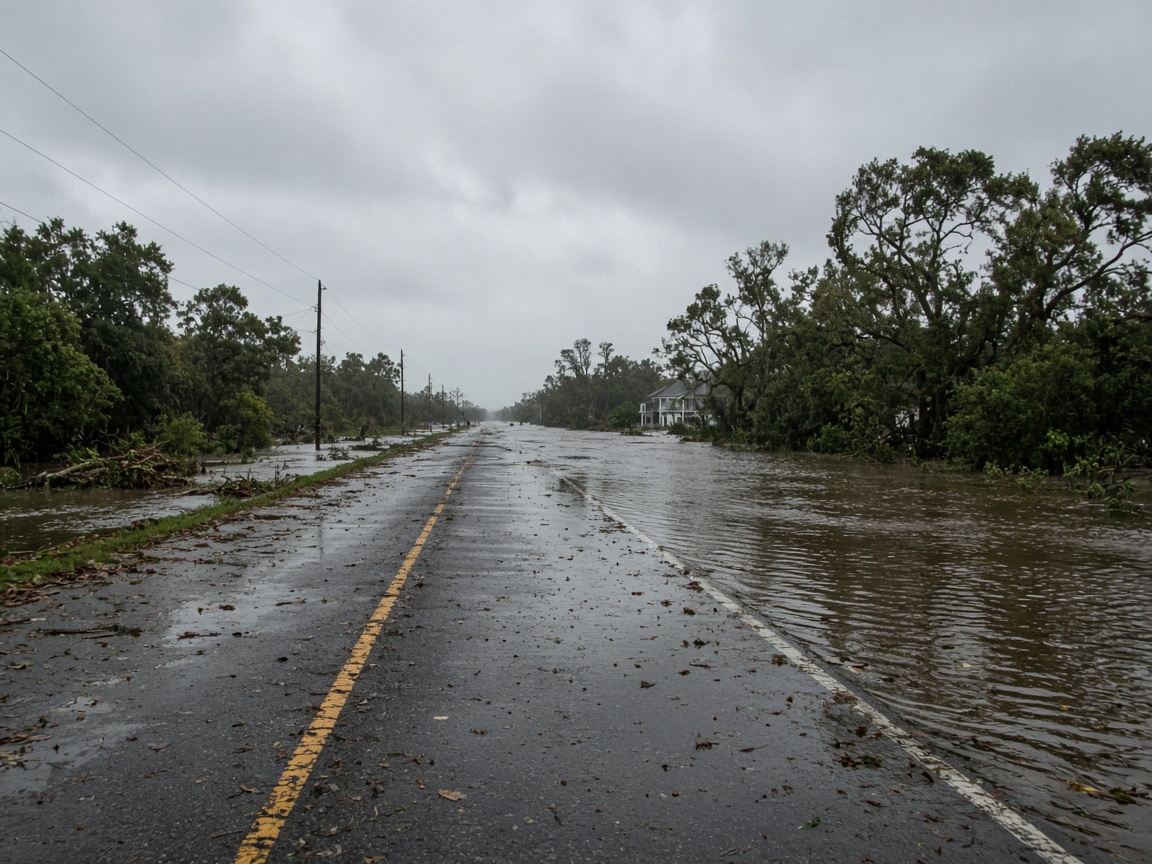
Storm surge is the abnormal rise of ocean water driven ashore by a hurricane or tropical storm. It is not one big wave. It is a dome of water that can push miles inland, cut off evacuation routes, and flood homes before the strongest winds even arrive. The National Hurricane Center notes that storm surge is often the greatest threat to life and property from a tropical cyclone.
From Louisiana to Florida's Big Bend, two geographic factors make surge especially dangerous:
- A shallow continental shelf. The Gulf's gently sloping sea floor gives wind-driven water nowhere to spread out, so it piles up against the coast.
- Very low elevation. Much of coastal Louisiana, the Mississippi and Alabama coastlines, and Florida's Big Bend sit only a few feet above sea level.
Florida's Big Bend is a textbook example. Its coastline curves inward, and nearshore waters stay shallow for miles offshore — conditions that let water stack up quickly. When Hurricane Idalia made landfall in the Big Bend region in 2023, it drove destructive surge into a largely rural coast with limited evacuation routes and few high spots.
Surge also travels inland through bays, bayous, rivers, and canals. A home well back from the beach, or up a tidal river, can flood just as deeply as one on the waterfront.
How to Read an Official Storm Surge Map
Two National Hurricane Center products are the gold standard for homeowners:
1. National Storm Surge Hazard Maps
These maps show how deep water could get at a specific location if a hurricane of a given category made landfall nearby. They are a planning tool, not a forecast — they help answer the question: if a storm comes here, how deep could the water be at my address? Find them at nhc.noaa.gov/nationalsurge.
2. Potential Storm Surge Flooding Map
This map is issued only when a real storm is threatening the coast. It shows a reasonable worst-case scenario for that specific storm, including how far inland water could reach and roughly how deep it could be above ground. Look for it alongside active advisories at nhc.noaa.gov/storm_surge.
What the colors mean — and what they do not
- Depths are measured above ground, not above sea level.
- The map is not a forecast of the storm's track, and the edges are not precise boundaries.
- Water can reach areas outside the colored zones, and waves and currents riding on top of surge cause additional damage.
- FEMA flood insurance rate maps (FIRMs) are a different tool: they show long-term flood risk for insurance and building purposes, not a specific hurricane. Look yours up at the FEMA Flood Map Service Center.
Know Your Evacuation Zone Before the Next Storm
Many coastal communities from Louisiana to Florida's Big Bend use designated evacuation zones, often labeled by letter or color. Your zone determines when — and whether — you are ordered to leave. Look it up now, while the weather is calm. County emergency management agencies and state emergency management offices publish these maps, and many also offer text and email alerts.
- Save your zone and route in your phone.
- Make sure every household member knows the plan, including where pets go.
- Keep a battery or hand-crank NOAA weather radio, and turn on Wireless Emergency Alerts. Check current forecasts at weather.gov.
Practical Steps for Gulf Coast Homeowners
Before hurricane season (June 1 to November 30)
- Check your surge and flood exposure using the official tools above.
- Remember that a standard homeowners policy does not cover flooding. Flood coverage comes through the National Flood Insurance Program or a private insurer, and new NFIP policies generally include a 30-day waiting period — so buy coverage long before a storm is named. See floodsmart.gov.
- Photograph or video your home and belongings, and store copies in the cloud or a safe deposit box.
- Build a disaster kit with water, food, medications, and chargers. See ready.gov/kit.
- Elevate or relocate items in low areas: utilities, appliances, important documents, and valuables.
When a storm is approaching
- Follow evacuation orders from local officials. If you are told to leave a surge zone, go early — surge can arrive hours before the center makes landfall, and bridges and roads may close.
- Move vehicles to higher ground and fuel them up.
- Turn off electricity and gas only if instructed by officials.
- Never drive into floodwater. Only a foot or two of moving water can sweep a vehicle away. Follow National Weather Service guidance: Turn Around, Don't Drown.
After the storm
- Do not return until officials declare your area safe.
- Avoid contact with floodwater, which can carry sewage, chemicals, and sharp debris. The CDC advises thorough handwashing and protective clothing during cleanup.
- Document all damage with photos before you throw anything away, and file insurance claims promptly.
- If a federal disaster is declared, register for assistance at disasterassistance.gov.
- More household guidance is available at ready.gov/hurricanes and ready.gov/floods.
The Bottom Line
Hurricane Isaias was an East Coast storm, so a storm surge map for Isaias that stretches from Louisiana to Florida's Big Bend does not reflect what actually happened. But the underlying risk in the Gulf is real and well documented — low-lying coastlines, shallow water, and recurring hurricanes make surge the number-one hazard for homes from Louisiana to the Big Bend.
Do three things this week: look up your address on the NHC National Storm Surge Hazard Maps, find your county evacuation zone, and confirm whether you carry flood coverage. Those steps cost nothing, take about an hour, and are the difference between being ready and being surprised.
About our guidance
Our guides are grounded in publicly available information from official sources such as FEMA, NOAA, USGS and Ready.gov. Information is general in nature — always verify details for your specific property and policy with official sources and your insurer.
Related guides
 InsuranceLender-Placed Flood Insurance: The Expensive Backup If Your Policy LapsesYour lender can force-place flood insurance if your policy lapses — and bill you for it, usually at a higher price. Here is how…Oct 15, 2026Read guide →
 InsuranceWhat Happens to Your NFIP Policy If Congress Lets the Program LapseCongress extended the NFIP through December 11, 2026. If the program lapses, existing policies stay in force and claims get paid…Oct 15, 2026Read guide →
 InsuranceExcess Flood Insurance: Coverage Above NFIP's $250,000 LimitThe NFIP caps flood coverage at $250,000 for the building and $100,000 for contents. If your home would cost more to rebuild,…Oct 15, 2026Read guide →