
Northeast region · MA
Massachusetts home risk profile
Overall home hazard risk: Minor
How to use this profile
- Scan the hazard list. Anything rated Major or Extreme is the next page to open.
- Read the insurance note — flood and earthquake are usually separate policies.
- Look up your ZIP, then confirm the address on the official maps linked from each hazard page.
You're flying into Boston this weekend for a closing, and the seller's disclosure mentions a sump pump. That's your first clue. In Massachusetts, the two hazards you should actually lose sleep over are winter storms and flooding. Winter storms rate a 4 out of 5 here. That means nor'easters, ice dams, and power lines down for days. Flooding rates a 3 out of 5. It's not just the coast. Inland rivers and heavy rain can put water in your basement too.
Hurricanes and severe storms also rate a 3 out of 5. They often arrive with the same weather systems that bring winter storms, just in different seasons. The rest of the state's hazard list — tornadoes, earthquakes, extreme heat, drought, wildfires, landslides — falls lower. Some are rare. But you don't need to fear everything. You need to plan for the top two.
If I had one afternoon before closing, I'd pull the FEMA flood map for the address and check whether the property sits in a high-risk zone. Then I'd call a roofer to look at the attic and ice dam history. Flood insurance is separate from your standard homeowners policy. Ask your agent about the National Flood Insurance Program (NFIP), and check the Massachusetts Emergency Management Agency for local preparedness tips. That's your first line of defense.
Massachusetts is not a disaster zone. Most homes here do fine. But winter storms and flooding are the two risks that cost homeowners the most in repairs and insurance claims. You can't change the weather. You can change what you know before you sign. Get the flood map. Inspect the roof. Talk to your insurer. Do that, and you'll sleep better when the first nor'easter hits.
Risk levels in Massachusetts
Statewide scores, highest first. A neighborhood can look different from the state average — use these to decide which official map to open.
What the ratings mean
"MinimalMinorModerateMajorExtreme
Each rating is a statewide starting point, framed for a typical 30-year stay — the length of a standard mortgage. A neighborhood can look different from the state average. Always verify your address with official FEMA, NOAA or USGS maps.
Questions about Massachusetts
- What is the overall home-hazard rating in Massachusetts?
- Massachusetts scores Minor overall on our statewide scale. That average can hide one severe local peril — open the highest-rated hazard pages and then verify your address.
- Does a standard homeowners policy cover the main risks in Massachusetts?
- Weight of ice and snow is often covered; flood from a burst pipe or ice jam may need extra coverage. Frozen-pipe exclusions show up when heat was off.
- How should I use this Massachusetts page?
- Treat it as a briefing, not a determination. Check the hazard list, open the pages rated Major or Extreme, then confirm the parcel on FEMA, NOAA or USGS maps and with Massachusetts Emergency Management Agency.
Last updated: October 8, 2026. Risk levels are state-wide estimates based on public hazard data (FEMA, NOAA, USGS) — always verify your specific address with official sources.
Guides to read with this profile
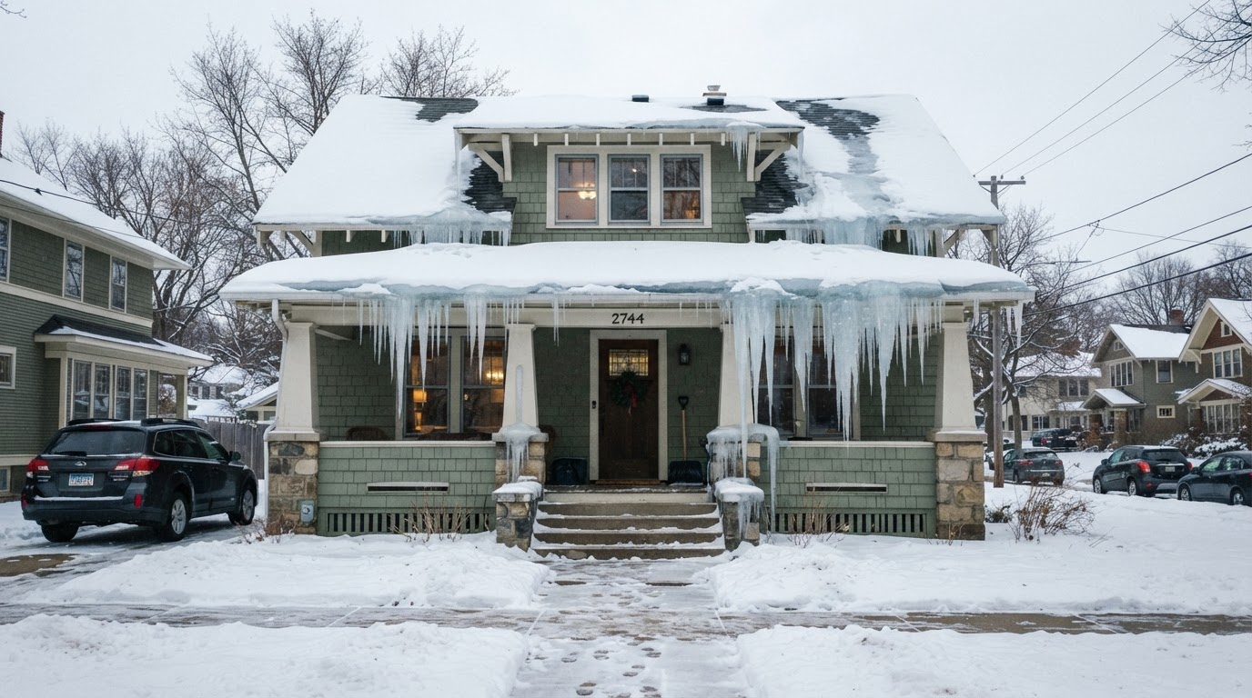 Stop Ice Dams: Essential Prevention Tips for Your RoofIce dams can cause costly damage to your home. Learn how to prevent them with proper insulation, ventilation, and smart home…Jun 21, 2026Read guide →
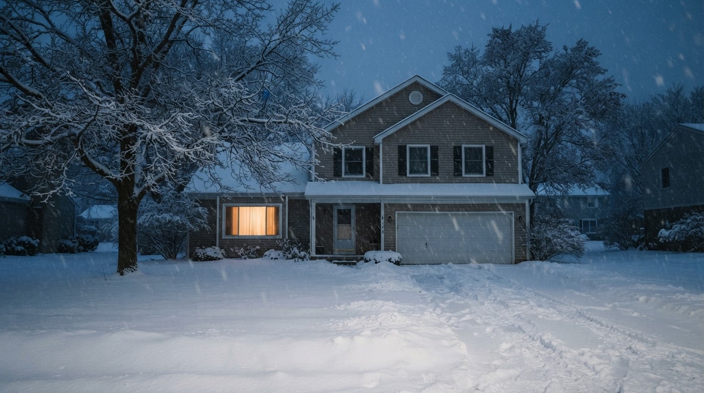 Safe Backup Heating for Winter Power Outages: Expert TipsLearn how to stay warm safely during a winter power outage with backup heating options recommended by FEMA, Ready.gov, and the…Jun 21, 2026Read guide →
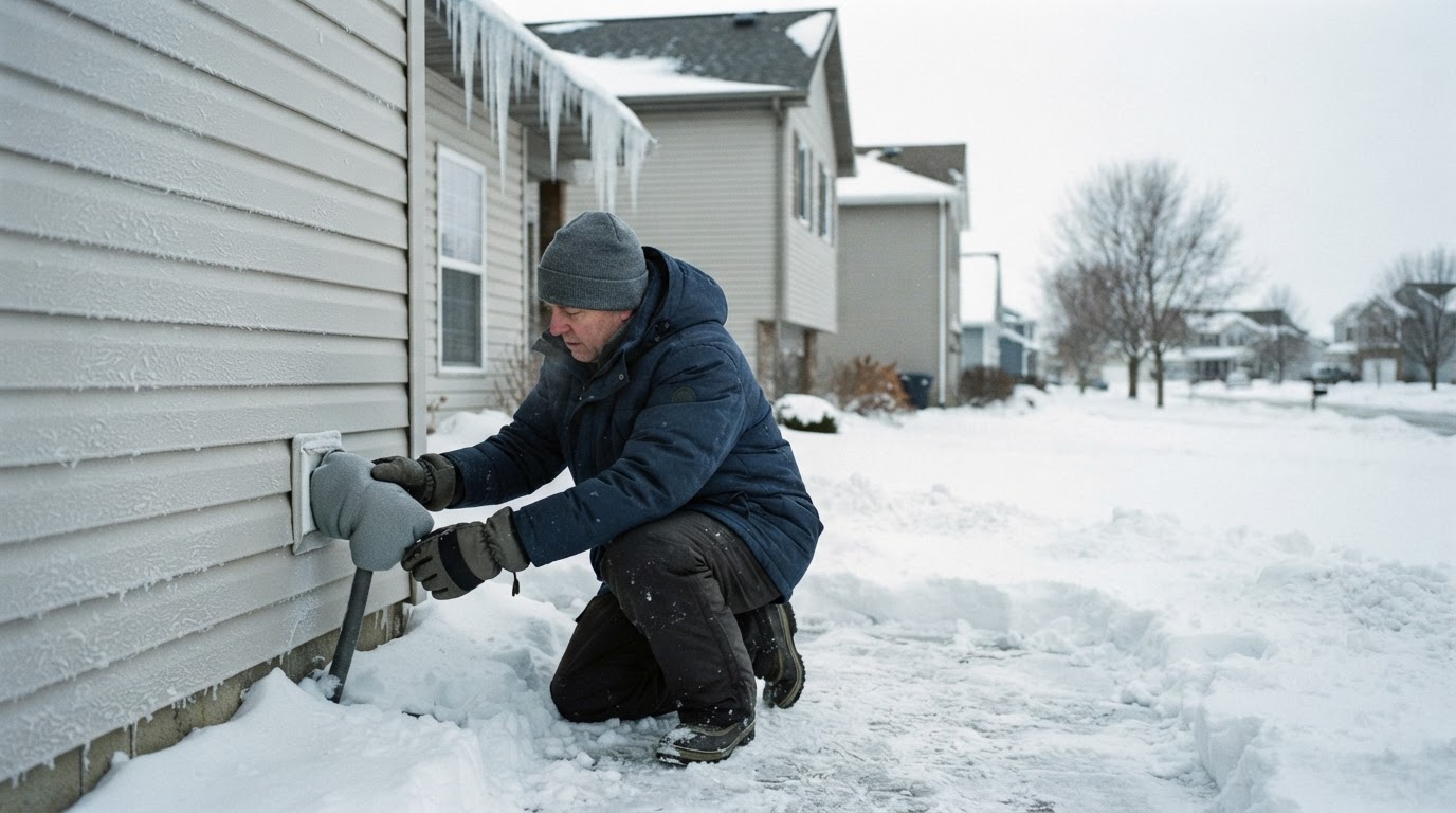 Prevent Frozen and Burst Pipes This WinterFrozen pipes can burst and cause costly water damage. Learn practical steps from FEMA and Ready.gov to protect your home before,…Jun 21, 2026Read guide →