
Local focus: Tornadoes
Springfield, Massachusetts home risk profile
Hampden County · Statewide overall risk: Minor
What this page is
Springfield sits in Hampden County, Massachusetts. This is a local briefing: it names the hazard that usually matters most here (Tornadoes), then shows the statewide ratings Massachusetts homeowners use to decide what official map to open. It is not a flood-zone letter or an insurance quote.
- Confirm the neighborhood with a ZIP lookup.
- Open Tornadoes in Massachusetts.
- Verify the address on the official maps in the sidebar, then read a matching guide.
Springfield occupies a rare spot in New England hazard history: on June 1, 2011, a strong tornado carved through the metro area, damaging more than a thousand homes from Springfield through West Springfield and into the surrounding suburbs. It was a wake-up call for a region that tends to think of tornadoes as a Midwestern problem. The Pioneer Valley's geography can funnel severe thunderstorm activity, and while such strong tornadoes remain infrequent, the 2011 event proved they are not theoretical.
Around that tornado risk sits a more routine set of threats. The Connecticut River runs through the city, and low areas near it can flood during sustained rain; the city also takes hits from nor'easter snow and ice in winter, and summer downpours can flash-flood urban streets. For homeowners, the tornado lesson translated into practical guidance: identify an interior safe space in the home, secure outdoor equipment, and keep roofing and siding in good repair since wind-borne debris causes most damage. Pair that with the usual New England winter preparation and river-awareness on low ground, and Springfield's risk profile is about respecting a wide range of weather rather than any single hazard.
How to read the Springfield snapshot
Springfield is in Hampden County, Massachusetts. This page does not score individual streets. It tells you which statewide hazards matter most here, then points you to the official map for the address you care about.
The local focus is Tornadoes in Massachusetts. Wind damage is usually covered; flood from the same storm often is not. Photograph the roof now, before hail or a tornado makes the “before” pictures impossible.
Highest statewide ratings that apply in Springfield
- Winter Storms — Major. Massachusetts is rated 4 out of 5 for winter storm risk. Nor'easters, blizzards, and ice storms can bring heavy snow,…
- Flooding — Moderate. Flooding is a moderate risk in Massachusetts, rated 3 out of 5 by FEMA's National Risk Index. The state faces coastal…
- Hurricanes — Moderate. Massachusetts has a moderate hurricane risk (level 3 of 5). While direct hits are less common than in southern Atlantic…
What to do before you buy or renew in Springfield
- Look up the ZIP on our ZIP tool so you land on this city or the Massachusetts profile.
- Open the Tornadoes page and follow the official map links in the sidebar.
- Confirm preparedness guidance with Massachusetts Emergency Management Agency.
Hazard ratings for Massachusetts
These are state-level scores used across Springfield. Use them as a starting point, then verify your exact address with the official maps linked on each hazard page.
What the ratings mean
"MinimalMinorModerateMajorExtreme
Each rating is a statewide starting point, framed for a typical 30-year stay — the length of a standard mortgage. A neighborhood can look different from the state average. Always verify your address with official FEMA, NOAA or USGS maps.
Using the Springfield profile
- Does Springfield have its own hazard scores?
- No. Springfield inherits Massachusetts’s statewide ratings. Use this page to see which peril matters most locally (Tornadoes), then verify the exact address — two streets in Hampden County can differ.
- What should I check first in Springfield?
- Start with Tornadoes in Massachusetts, then a ZIP lookup and the FEMA or USGS map that matches that hazard.
- Will homeowners insurance cover Tornadoes here?
- Wind damage is usually covered; flood from the same storm often is not. Photograph the roof now, before hail or a tornado makes the “before” pictures impossible.
Last updated: October 14, 2026. Ratings are state-wide estimates — always verify your specific address with official sources.
Guides for Massachusetts homeowners
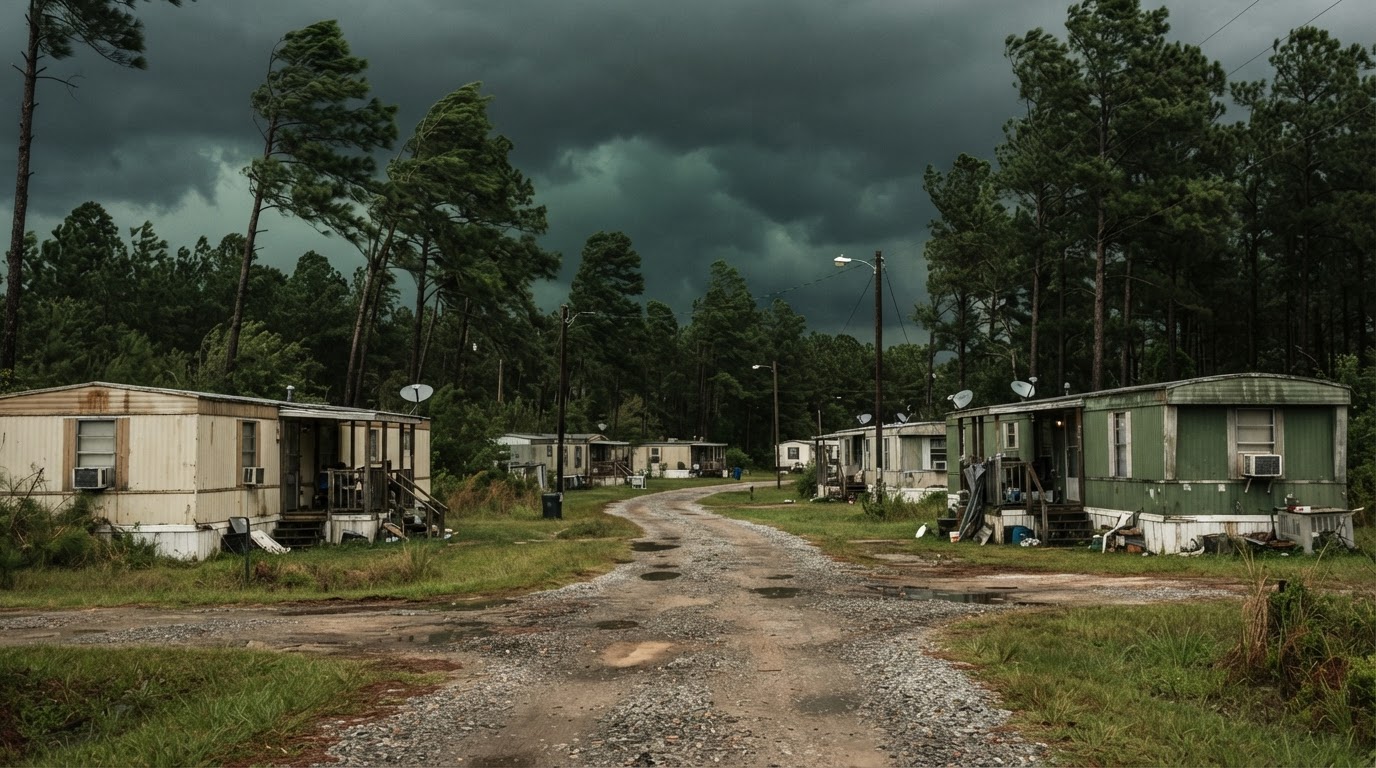 Mobile Home Tornado Safety: What Actually WorksMobile homes are particularly vulnerable to tornadoes. Learn the proven strategies that save lives, based on official guidance…Jun 21, 2026Read guide →
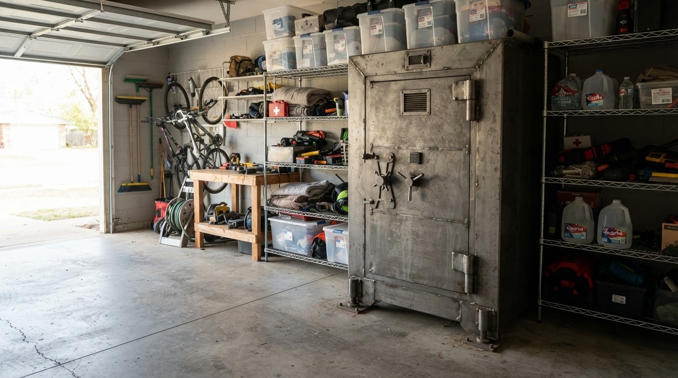 Tornado Safe Room vs Storm Shelter: Costs & Options for HomeownersLearn the key differences between tornado safe rooms and storm shelters, including costs, installation options, and FEMA…Jun 21, 2026Read guide →
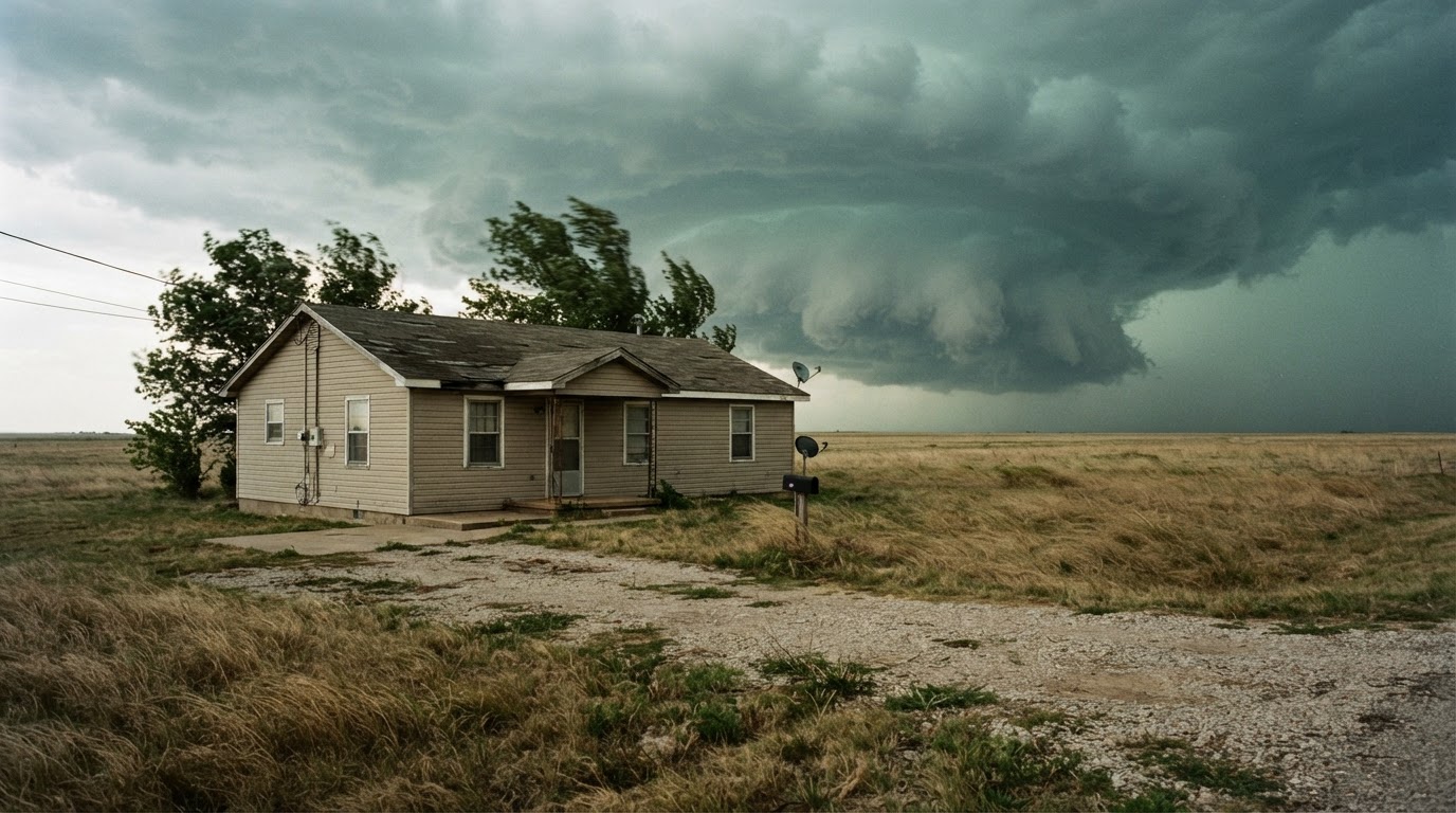 Safest Place in Your House During a Tornado by Home TypeWhere you take shelter during a tornado depends on your home type. Learn the safest locations for single-family homes,…Jun 21, 2026Read guide →