
Southeast region · MS
Mississippi home risk profile
Overall home hazard risk: Moderate
How to use this profile
- Scan the hazard list. Anything rated Major or Extreme is the next page to open.
- Read the insurance note — flood and earthquake are usually separate policies.
- Look up your ZIP, then confirm the address on the official maps linked from each hazard page.
You're three weeks from closing on a house in Jackson, and the seller's disclosure mentions a new roof after a hailstorm. Before you sign, you need to know what Mississippi will throw at that roof next. Tornadoes are the headline here — our rating is 5 out of 5. Flooding is next at 4 out of 5, and it's not just the coast. Inland counties flood from slow-moving thunderstorms and saturated ground. The Mississippi Emergency Management Agency runs the state's response and has county-by-county preparedness info. If you have one afternoon, spend it pulling the FEMA flood map for the address and calling your insurance agent about wind and water coverage before you fall in love with the kitchen.
Hurricanes and severe storms also rate 4 out of 5. Even 100 miles inland, you'll get tropical storm winds, heavy rain, and power outages that last days. Extreme heat is a 4, too — Mississippi summers push the heat index past 100 often enough that your AC isn't a luxury, it's life support. That combination means your insurance quote will depend heavily on roof age, wind mitigation features, and whether you're in a flood zone. Don't skip the windstorm deductible; it's often a separate percentage of your home's value, not a flat dollar amount.
The rest of our hazard list rates a 3 or lower, so don't let it distract you. Drought can crack foundations in the Delta, and the New Madrid seismic zone gives northwest Mississippi a small earthquake risk, but neither should drive your purchase. Wildfires are rare but possible in the pine belt. Your real focus should stay on the top two: tornadoes and flooding.
So here's what I'd do first: get a flood zone determination from FEMA's maps, ask the seller for a wind mitigation inspection, and check the roof age. Then call your insurance agent and get a quote that includes wind and flood separately. Mississippi is a great place to own a home if you respect the weather. Start with the flood map, not the paint colors.
Risk levels in Mississippi
Statewide scores, highest first. A neighborhood can look different from the state average — use these to decide which official map to open.
What the ratings mean
"MinimalMinorModerateMajorExtreme
Each rating is a statewide starting point, framed for a typical 30-year stay — the length of a standard mortgage. A neighborhood can look different from the state average. Always verify your address with official FEMA, NOAA or USGS maps.
Questions about Mississippi
- What is the overall home-hazard rating in Mississippi?
- Mississippi scores Moderate overall on our statewide scale. That average can hide one severe local peril — open the highest-rated hazard pages and then verify your address.
- Does a standard homeowners policy cover the main risks in Mississippi?
- Wind damage is usually covered; flood from the same storm often is not. Photograph the roof now, before hail or a tornado makes the “before” pictures impossible.
- How should I use this Mississippi page?
- Treat it as a briefing, not a determination. Check the hazard list, open the pages rated Major or Extreme, then confirm the parcel on FEMA, NOAA or USGS maps and with Mississippi Emergency Management Agency.
Last updated: October 8, 2026. Risk levels are state-wide estimates based on public hazard data (FEMA, NOAA, USGS) — always verify your specific address with official sources.
Guides to read with this profile
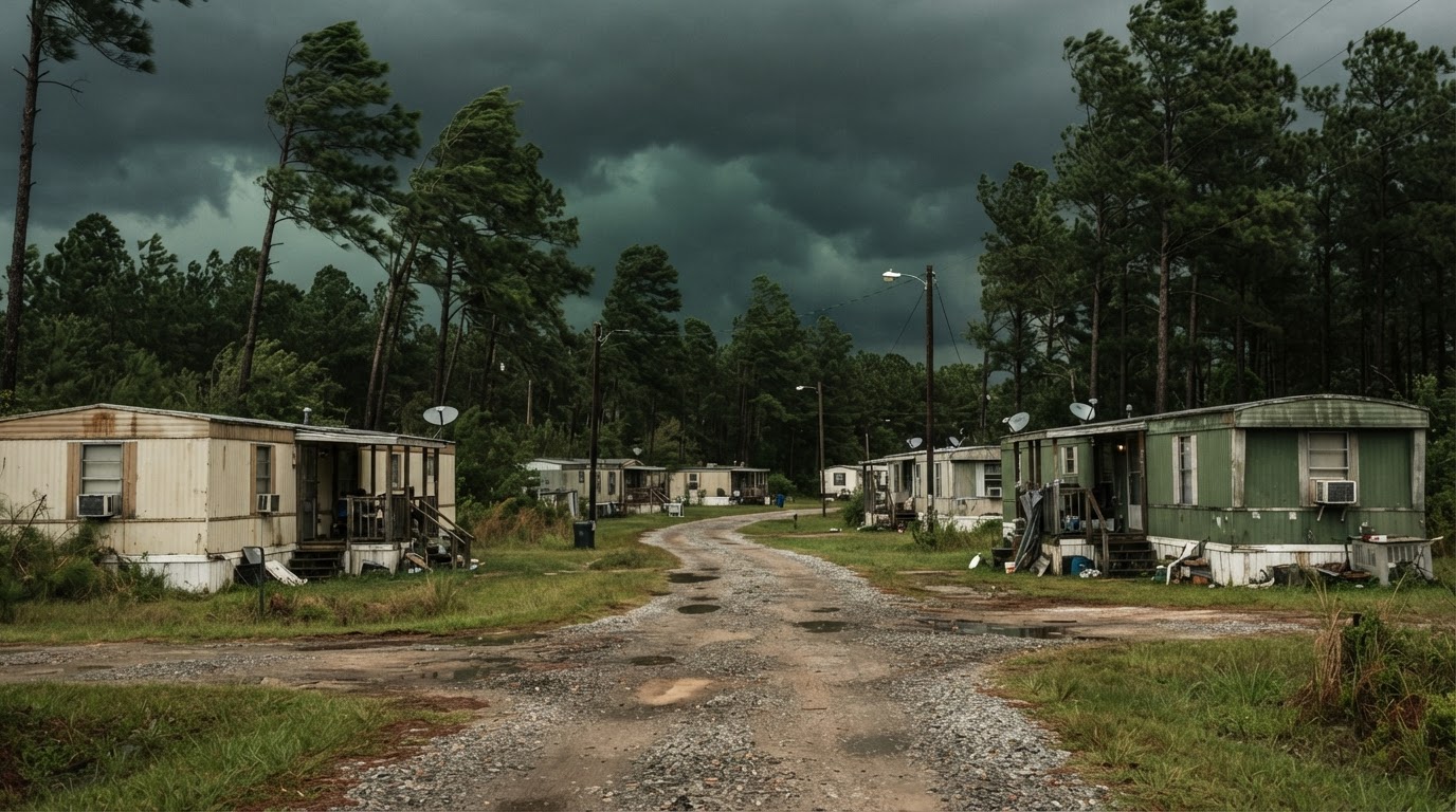 Mobile Home Tornado Safety: What Actually WorksMobile homes are particularly vulnerable to tornadoes. Learn the proven strategies that save lives, based on official guidance…Jun 21, 2026Read guide →
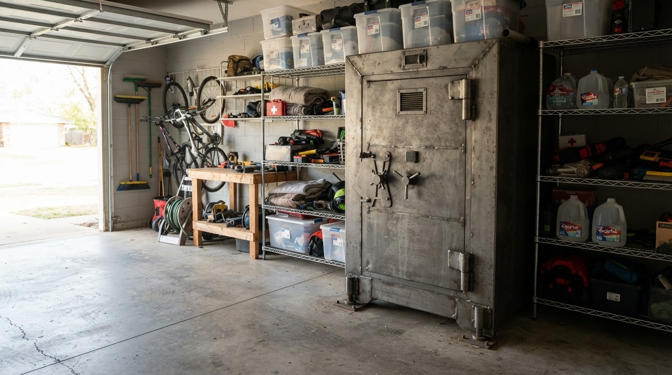 Tornado Safe Room vs Storm Shelter: Costs & Options for HomeownersLearn the key differences between tornado safe rooms and storm shelters, including costs, installation options, and FEMA…Jun 21, 2026Read guide →
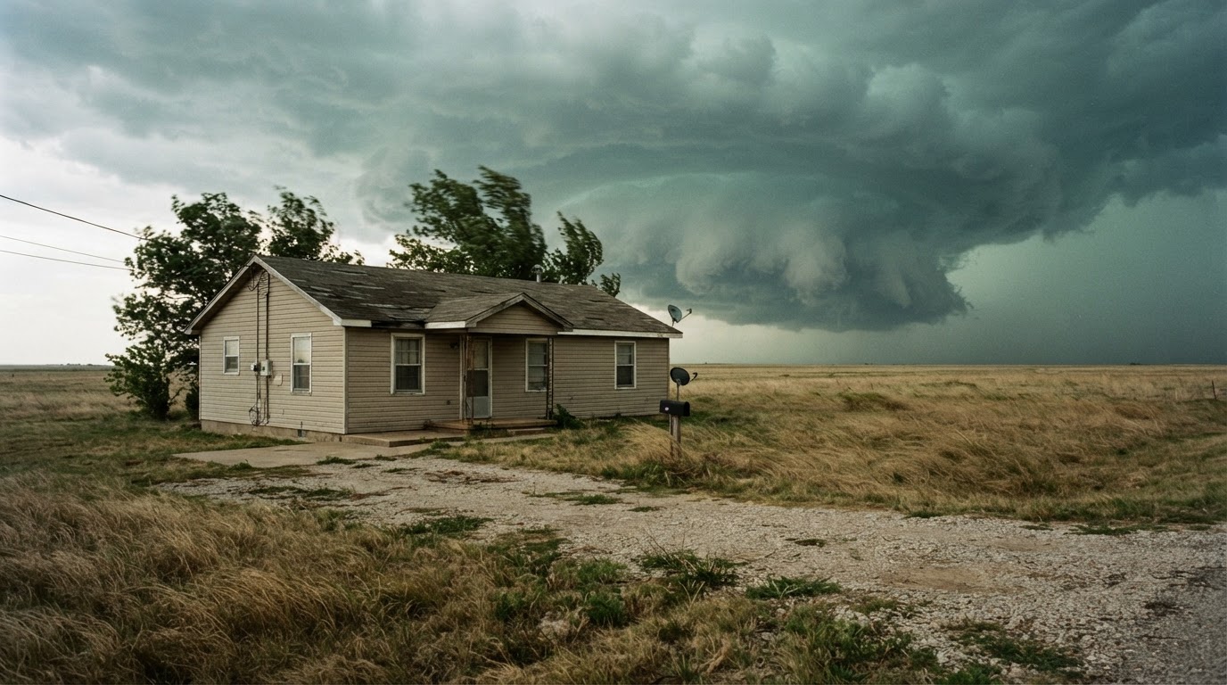 Safest Place in Your House During a Tornado by Home TypeWhere you take shelter during a tornado depends on your home type. Learn the safest locations for single-family homes,…Jun 21, 2026Read guide →