
Local focus: Tornadoes
Jackson, Mississippi home risk profile
Hinds County · Statewide overall risk: Moderate
What this page is
Jackson sits in Hinds County, Mississippi. This is a local briefing: it names the hazard that usually matters most here (Tornadoes), then shows the statewide ratings Mississippi homeowners use to decide what official map to open. It is not a flood-zone letter or an insurance quote.
- Confirm the neighborhood with a ZIP lookup.
- Open Tornadoes in Mississippi.
- Verify the address on the official maps in the sidebar, then read a matching guide.
Jackson sits on the Pearl River in central Mississippi, squarely in Dixie Alley — the corridor of the Deep South where strong tornadoes strike with particular frequency and ferocity. Spring is the peak season, but Mississippi's tornado threat stretches across much of the year, and the state's tornadoes have a grim reputation for arriving at night, wrapped in rain, and moving fast. The capital's metro has taken damaging tornadoes in living memory, and every spring brings the familiar cycle of watches that homeowners here have learned not to ignore.
The Pearl River is the city's slower hazard. In 2020 the river rose to near-record levels and pushed water into Jackson-area neighborhoods, a reminder that prolonged Gulf moisture — sometimes from tropical systems that drift far inland — can overwhelm the watershed even when no hurricane makes landfall nearby. The metro's mix of older homes with mature trees and newer subdivisions means wind damage varies block by block, but falling timber is a constant: Mississippi's dense canopy turns severe storms into tree-removal events.
The homeowner essentials are a weather radio that will wake the household, a lowest-floor interior safe room, and trees kept trimmed back from the house. If you live anywhere near the Pearl River or its tributary creeks, review your flood exposure — the 2020 flood showed the river can threaten streets that had been dry for a generation. And treat every spring tornado watch as a reason to stay close to shelter after dark.
How to read the Jackson snapshot
Jackson is in Hinds County, Mississippi. This page does not score individual streets. It tells you which statewide hazards matter most here, then points you to the official map for the address you care about.
The local focus is Tornadoes in Mississippi. Wind damage is usually covered; flood from the same storm often is not. Photograph the roof now, before hail or a tornado makes the “before” pictures impossible.
Highest statewide ratings that apply in Jackson
- Tornadoes — Extreme. Mississippi is one of the most tornado-prone states in the country, rated 5 out of 5 for this hazard. The state sits in…
- Flooding — Major. Flooding is one of Mississippi's most frequent natural hazards, driven by Gulf hurricanes and storm surge, the…
- Hurricanes — Major. Mississippi faces a high (level 4 of 5) hurricane risk because of its location on the north-central Gulf of Mexico. The…
What to do before you buy or renew in Jackson
- Look up the ZIP on our ZIP tool so you land on this city or the Mississippi profile.
- Open the Tornadoes page and follow the official map links in the sidebar.
- Confirm preparedness guidance with Mississippi Emergency Management Agency.
Hazard ratings for Mississippi
These are state-level scores used across Jackson. Use them as a starting point, then verify your exact address with the official maps linked on each hazard page.
What the ratings mean
"MinimalMinorModerateMajorExtreme
Each rating is a statewide starting point, framed for a typical 30-year stay — the length of a standard mortgage. A neighborhood can look different from the state average. Always verify your address with official FEMA, NOAA or USGS maps.
Using the Jackson profile
- Does Jackson have its own hazard scores?
- No. Jackson inherits Mississippi’s statewide ratings. Use this page to see which peril matters most locally (Tornadoes), then verify the exact address — two streets in Hinds County can differ.
- What should I check first in Jackson?
- Start with Tornadoes in Mississippi, then a ZIP lookup and the FEMA or USGS map that matches that hazard.
- Will homeowners insurance cover Tornadoes here?
- Wind damage is usually covered; flood from the same storm often is not. Photograph the roof now, before hail or a tornado makes the “before” pictures impossible.
Last updated: October 14, 2026. Ratings are state-wide estimates — always verify your specific address with official sources.
Guides for Mississippi homeowners
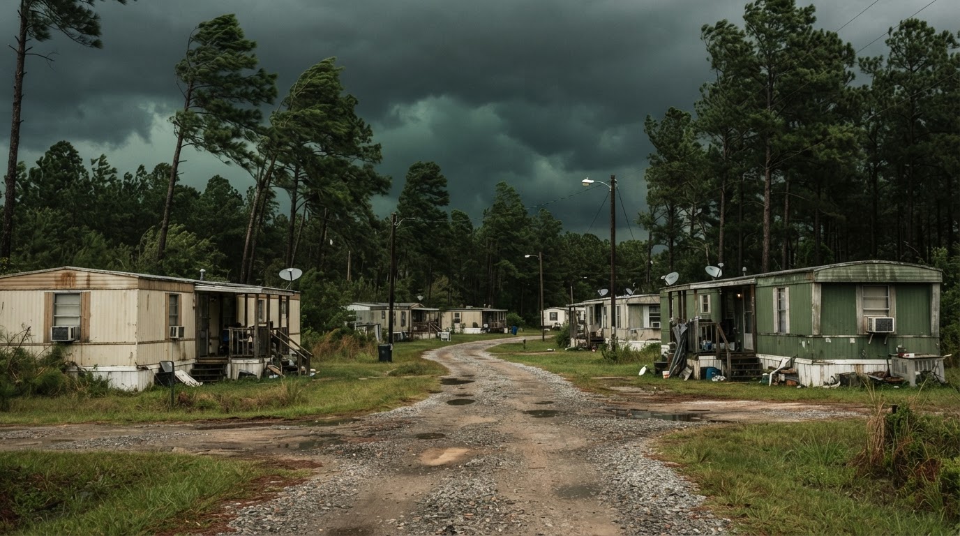 Mobile Home Tornado Safety: What Actually WorksMobile homes are particularly vulnerable to tornadoes. Learn the proven strategies that save lives, based on official guidance…Jun 21, 2026Read guide →
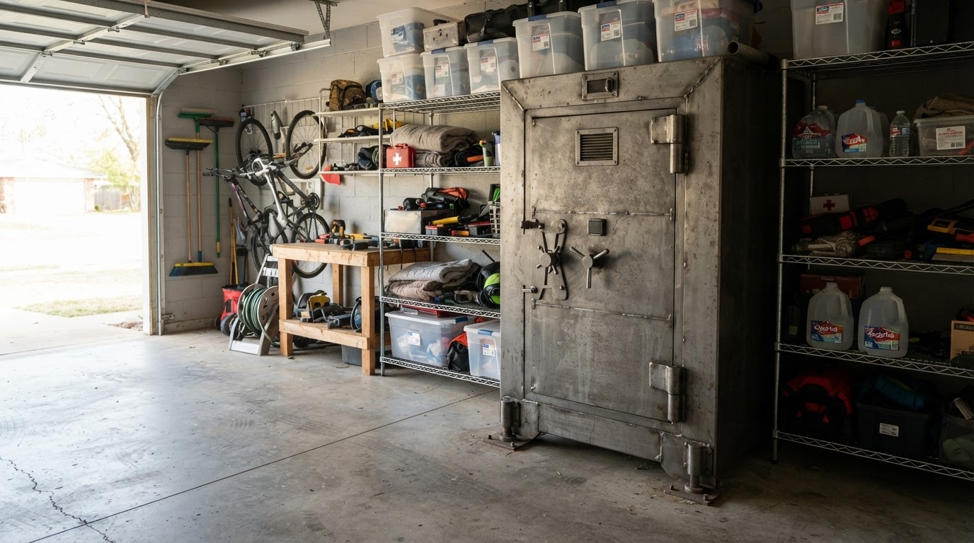 Tornado Safe Room vs Storm Shelter: Costs & Options for HomeownersLearn the key differences between tornado safe rooms and storm shelters, including costs, installation options, and FEMA…Jun 21, 2026Read guide →
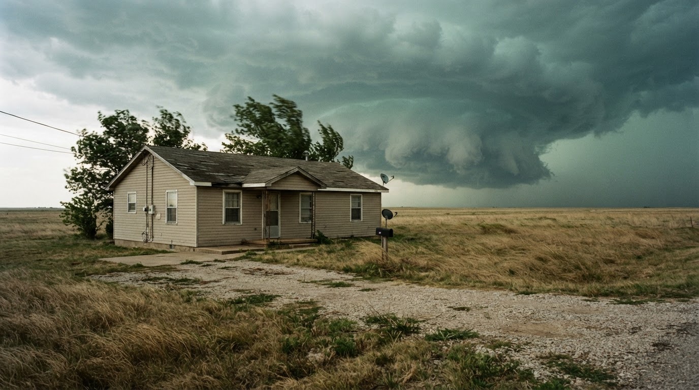 Safest Place in Your House During a Tornado by Home TypeWhere you take shelter during a tornado depends on your home type. Learn the safest locations for single-family homes,…Jun 21, 2026Read guide →