
Local focus: Earthquakes
Vancouver, Washington home risk profile
Clark County · Statewide overall risk: Moderate
What this page is
Vancouver sits in Clark County, Washington. This is a local briefing: it names the hazard that usually matters most here (Earthquakes), then shows the statewide ratings Washington homeowners use to decide what official map to open. It is not a flood-zone letter or an insurance quote.
- Confirm the neighborhood with a ZIP lookup.
- Open Earthquakes in Washington.
- Verify the address on the official maps in the sidebar, then read a matching guide.
Vancouver, Washington sits directly across the Columbia River from Portland, sharing the metro's geology and its earthquake exposure. The Cascadia subduction zone offshore is the great threat: a magnitude-9 rupture would deliver minutes of violent shaking to the entire Portland-Vancouver area. The Portland Hills fault, which runs through the west hills visible from Vancouver, and the local fault network beneath the city itself add nearer sources capable of damaging quakes like the 1993 Scotts Mills event.
The Columbia River defines Vancouver's secondary hazards. The city's low-lying areas near the river and its tributaries sit in floodplains managed by levees and dams, and winter storms can push local streams toward flood stage. To the north, Mount St. Helens is a living reminder that the Cascades are active: the 1980 eruption dusted the region in ash, and future eruptions would disrupt life for months. Wildfire smoke from Gorge fires is already a regular summer visitor.
Earthquake retrofits are the priority for Vancouver's older homes: bolting, bracing and chimney work pay for themselves in a region where the big quake is a matter of when. Prepare for an extended disruption, since two weeks of supplies is the regional planning standard. When buying, check flood zone status near the river and its tributaries, verify liquefaction susceptibility, and price earthquake and flood insurance separately. Vancouver's affordability relative to Portland is real, but the wise buyer budgets for resilience from the start.
How to read the Vancouver snapshot
Vancouver is in Clark County, Washington. This page does not score individual streets. It tells you which statewide hazards matter most here, then points you to the official map for the address you care about.
The local focus is Earthquakes in Washington. Earthquake damage is typically excluded from a standard homeowners policy. Coverage is a separate policy or endorsement.
Highest statewide ratings that apply in Vancouver
- Earthquakes — Extreme. Washington is rated 5 of 5 for earthquake risk, with threats from the Cascadia subduction zone, shallow crustal faults,…
- Flooding — Major. Washington faces a high risk of flooding (level 4 of 5) due to its diverse geography, including coastal areas, river…
- Wildfires — Major. Washington faces a level 4 of 5 wildfire risk. Most of the state east of the Cascade crest is dry shrub-steppe,…
What to do before you buy or renew in Vancouver
- Look up the ZIP on our ZIP tool so you land on this city or the Washington profile.
- Open the Earthquakes page and follow the official map links in the sidebar.
- Confirm preparedness guidance with Washington Emergency Management Division.
Other Washington city briefings: Bellevue, Seattle, Spokane, Tacoma.
Hazard ratings for Washington
These are state-level scores used across Vancouver. Use them as a starting point, then verify your exact address with the official maps linked on each hazard page.
What the ratings mean
"MinimalMinorModerateMajorExtreme
Each rating is a statewide starting point, framed for a typical 30-year stay — the length of a standard mortgage. A neighborhood can look different from the state average. Always verify your address with official FEMA, NOAA or USGS maps.
Using the Vancouver profile
- Does Vancouver have its own hazard scores?
- No. Vancouver inherits Washington’s statewide ratings. Use this page to see which peril matters most locally (Earthquakes), then verify the exact address — two streets in Clark County can differ.
- What should I check first in Vancouver?
- Start with Earthquakes in Washington, then a ZIP lookup and the FEMA or USGS map that matches that hazard.
- Will homeowners insurance cover Earthquakes here?
- Earthquake damage is typically excluded from a standard homeowners policy. Coverage is a separate policy or endorsement.
Last updated: October 14, 2026. Ratings are state-wide estimates — always verify your specific address with official sources.
Guides for Washington homeowners
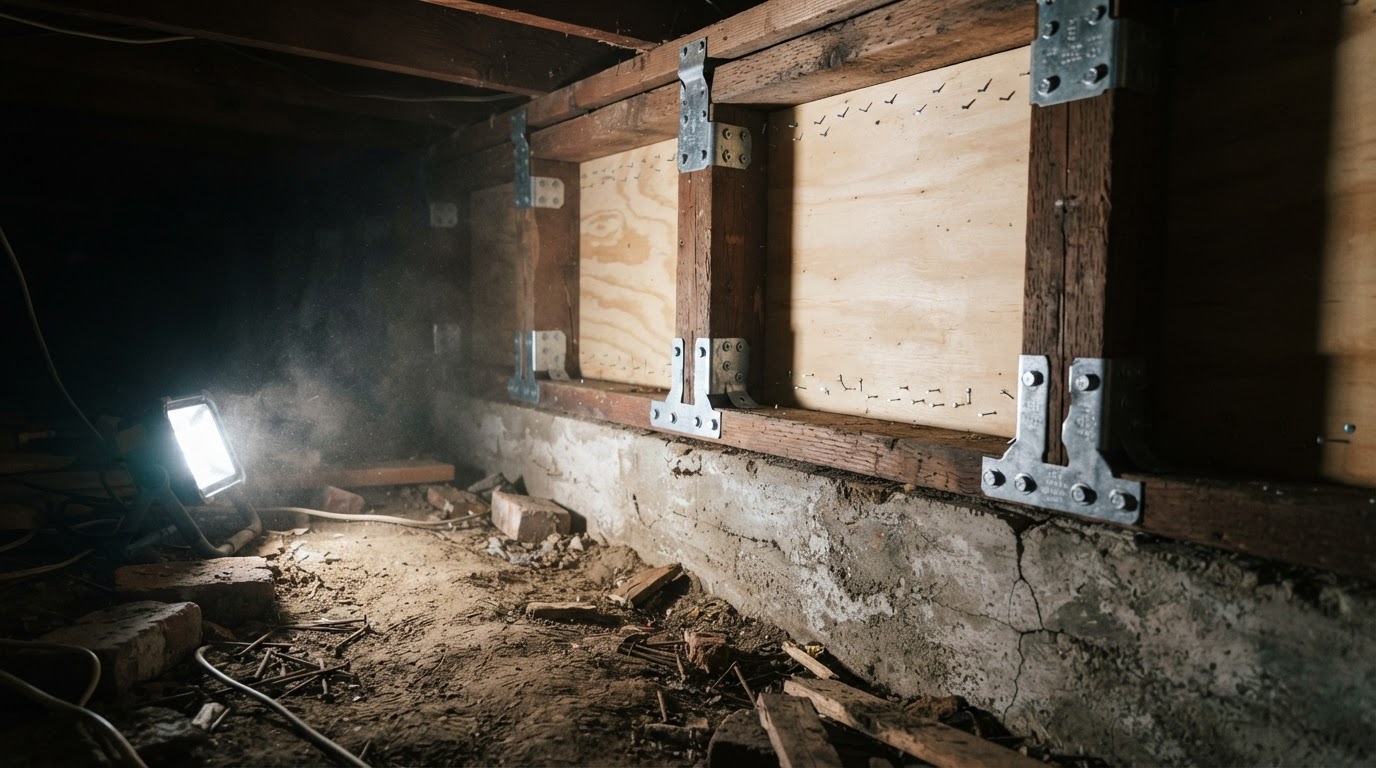 Cripple Wall Retrofit: Strengthen Your Home's Earthquake DefensesLearn how a cripple wall retrofit can prevent your older home from collapsing in an earthquake. Understand the basics, why it…Jun 21, 2026Read guide →
 How to Strap Your Water Heater for Earthquake SafetyLearn why securing your water heater is critical after an earthquake and get step-by-step instructions to strap it properly,…Jun 21, 2026Read guide →
 Earthquake Drills for Kids and Seniors: Drop, Cover, Hold OnLearn how to practice 'Drop, Cover, and Hold On' with children and older adults. This guide provides step-by-step drills,…Jun 21, 2026Read guide →