
How Far Inland Do Hurricane Winds Reach? Lessons From Isaias
6 min read
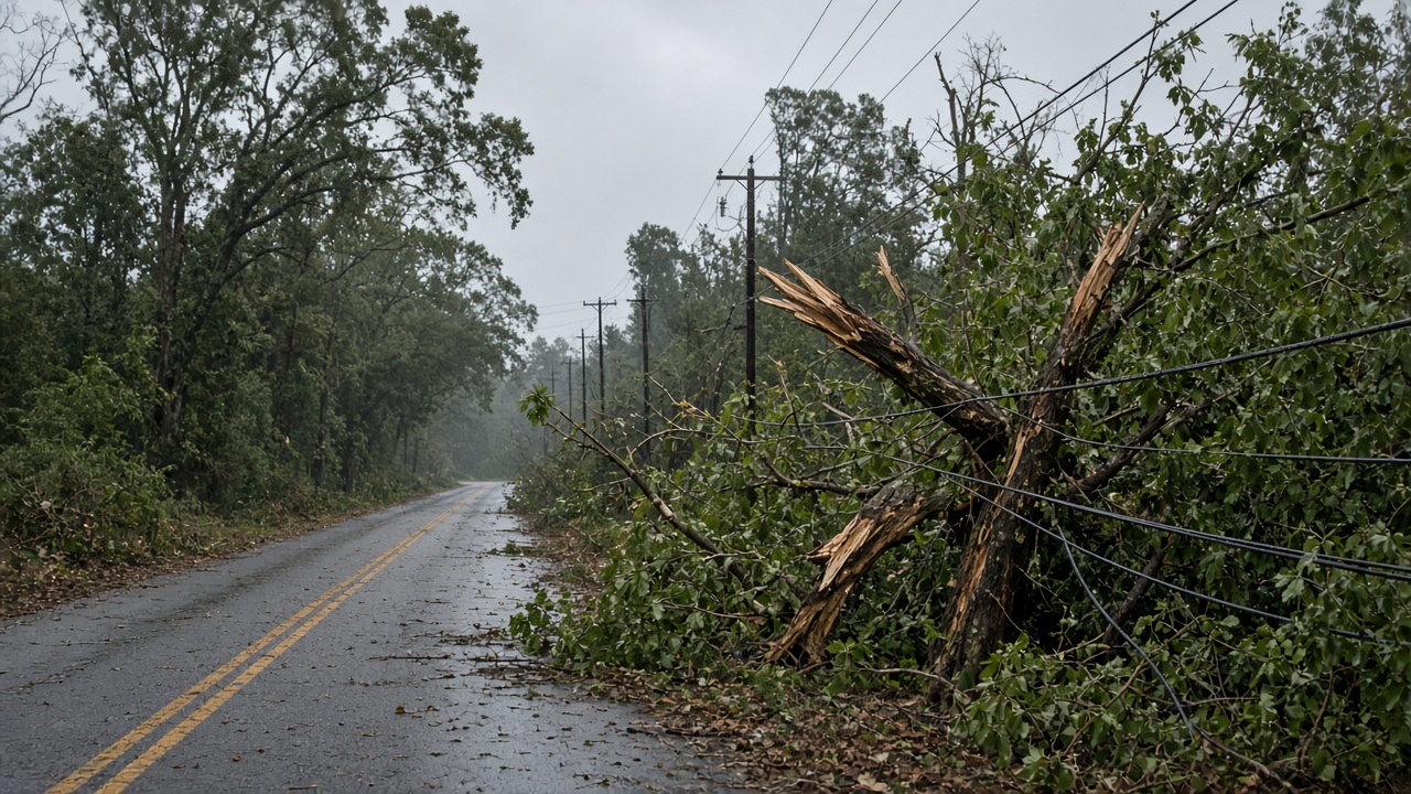
Hurricane winds can reach far past the coastline, and Isaias proved it — cutting power to millions of homes far inland. Here's what Alabama and Tennessee homeowners should know about inland wind risk.
Hurricanes Don't Stop at the Coast
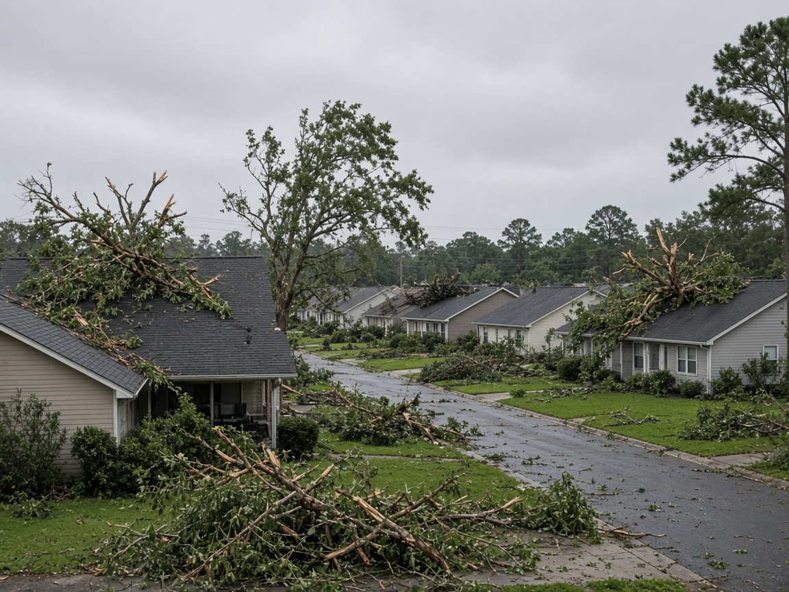
When a hurricane makes landfall, the coverage focuses on the beach: storm surge, pounding surf, wind-driven water. But a hurricane is not a point on a map. Its circulation is a vast, rotating engine of wind and rain, and it keeps moving long after the center crosses the shoreline. That is exactly what happened with Hurricane Isaias in 2020. The storm came ashore in North Carolina and then raced up the East Coast, knocking out power for millions of homes and businesses in states far from the landfall point.
For homeowners in Alabama and Tennessee, the lesson isn't about the East Coast. It's about a hazard most inland families underestimate: wind that arrives hours after the beach has already taken the hit.
How Far Inland Can Hurricane Winds Reach?
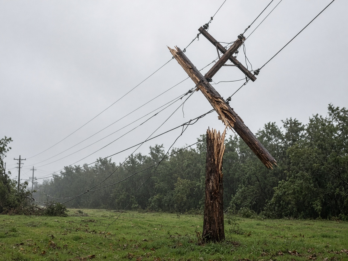
There is no single mileage number, because every storm is built differently. What matters is the difference between two wind thresholds the National Hurricane Center forecasts:
- Tropical storm-force winds (39–73 mph). In a large storm, these can extend more than a hundred miles from the center and still knock down limbs, topple shallow-rooted trees and cause widespread outages.
- Hurricane-force winds (74 mph or higher). These cover a much smaller area, but they can still push well inland before the storm weakens below hurricane strength.
How far each one reaches depends on the storm's size, its forward speed, where it comes ashore and what the terrain looks like. A fast-moving storm can carry strong wind farther inland before it falls apart. A slow one dumps more rain in one place. Hills, valleys and even saturated soil change what the wind does when it gets there.
Why Winds Weaken — But the Damage Often Doesn't
Hurricanes draw their energy from warm ocean water. Once the center moves over land, that fuel supply is cut off, and friction from trees, hills and buildings drags the wind down. So the strongest gusts usually stay closest to the coast.
But weakening is not the same as harmless. Two things keep inland damage going:
- Saturated ground. Days of rain soften the soil, so a 50 mph gust can bring down a tree that would have shrugged off the same wind on dry ground. Most inland hurricane damage is a tree story, not a surf story.
- Embedded tornadoes. Landfalling tropical systems routinely spin off tornadoes inside their rainbands. They can form far from the center, often at night, and they arrive with little warning. That is why Ready.gov tells households to identify an interior safe room before the storm, not during it.
Why Alabama and Tennessee Homeowners Watch Storms Like Isaias
Isaias never threatened the Gulf. But the pattern it created — a landfalling hurricane producing damaging wind and multi-day outages hundreds of miles inland — is the same pattern Gulf states see season after season.
Alabama's coastal counties face direct landfall risk, but the state is far from a one-county risk. Wind from a Gulf landfall can sweep north across Mobile and Baldwin counties and keep going. Tennessee, with no coastline at all, still sits in the path of tropical moisture and remnant circulation that push damaging wind, flash flooding and tornadoes into the state. The National Weather Service issues hurricane and tropical storm watches and warnings for inland counties precisely because of that, and the National Hurricane Center publishes wind speed probability maps showing which inland communities have a chance of seeing damaging wind.
In other words: if you live in Alabama or Tennessee and you only start following a storm once it's "close," you may be watching the wrong forecast.
What Inland Wind Damage Actually Looks Like
- Trees and large limbs on roofs, cars, driveways and power lines
- Outages that last days, because crews can't reach downed lines until the wind stops
- Missing shingles, torn siding, damaged soffit and gutters, and fences or carports pulled apart
- Narrow, intense tornado damage inside broader areas of wind damage
- Flooded roads and creeks — a separate hazard that travels with the same storm
Check Your Own Inland Risk in About 10 Minutes
- Look up your county in FEMA's National Risk Index to see how hurricane and other natural hazards rank where you live.
- Find your local National Weather Service forecast office and bookmark its page.
- During hurricane season, check the National Hurricane Center for wind speed probability graphics — not just the forecast track.
- Sign up for your county emergency management agency's alert system so warnings reach your phone at night.
Prepare Before the Wind Arrives
Ready.gov's hurricane guidance is the place to start. For inland wind specifically:
- Look at your trees. Dead limbs and weak branches over the roof, driveway or power drop are your biggest exposure. Handle routine trimming well before storm season — not the day before landfall, when wind and traffic make it dangerous.
- Build a kit with water, nonperishable food, medications, flashlights, batteries, a battery or hand-crank NOAA weather radio and phone chargers (Ready.gov/kit).
- Know your safe room: a small interior room on the lowest floor, away from windows.
- Review your insurance. Standard homeowners policies generally cover wind damage, but flood damage requires a separate policy — and most flood policies have a waiting period before coverage begins.
- Charge everything and store water in clean containers if your household relies on a well pump.
During the Storm
- Stay inside and away from windows, even when the wind seems to ease.
- Don't go out during a lull. It may be the eye passing — the wind returns from the opposite direction.
- If a tornado warning is issued for your area, move to your safe room immediately.
- Keep the refrigerator and freezer closed and unplug sensitive electronics.
After the Storm
- Treat every downed line as energized and report it to your utility. Never drive over or move one.
- Never run a generator indoors, in a garage or near windows or vents — carbon monoxide is invisible and deadly. Follow Ready.gov generator safety.
- Follow food safety guidance: discard refrigerated perishables if the power has been out more than four hours, and check FoodSafety.gov for specifics.
- Photograph damage before cleanup and keep receipts — your insurer will want both.
- Watch for other power outage hazards, including damaged gas lines and unstable or leaning trees.
The Bottom Line
Hurricane wind doesn't respect coastlines. Inland counties in Alabama, Tennessee and across the Southeast can see damaging wind, tornadoes and long outages from storms that made landfall far away. A few hours of preparation — trimming the branches that hang over your roof, stocking a kit, identifying your safe room and checking your county's risk profile — does more for your household than any last-minute run to the store. When the next storm forms, watch the wind speed probability maps, not just the cone.
About our guidance
Our guides are grounded in publicly available information from official sources such as FEMA, NOAA, USGS and Ready.gov. Information is general in nature — always verify details for your specific property and policy with official sources and your insurer.
Related guides
 InsuranceLender-Placed Flood Insurance: The Expensive Backup If Your Policy LapsesYour lender can force-place flood insurance if your policy lapses — and bill you for it, usually at a higher price. Here is how…Oct 15, 2026Read guide →
 InsuranceWhat Happens to Your NFIP Policy If Congress Lets the Program LapseCongress extended the NFIP through December 11, 2026. If the program lapses, existing policies stay in force and claims get paid…Oct 15, 2026Read guide →
 InsuranceExcess Flood Insurance: Coverage Above NFIP's $250,000 LimitThe NFIP caps flood coverage at $250,000 for the building and $100,000 for contents. If your home would cost more to rebuild,…Oct 15, 2026Read guide →